Tag Archives: WW2

MOTAT Visit

Whilst I’ve been in Auckland for about 8 months now and driven past it a number of times, I had yet to visit the Auckland Museum Of Transport And Technology (MOTAT). However this month (June) there’s free entry for all visitors, which gave me a pretty compelling reason to head over there and check it out. :-)

Being a free weekend, it was pretty nuts with huge crowds there, but the staff did a great job and once we got in, as long as we avoided the major kids-focused attractions, the crowds weren’t an issue.

And wow, I’m glad I went. It’s actually one of the best things I’ve found in Auckland –  huge range of trams, from Wellington, Auckland and Melbourne, a massive aviation display and a solid number of trains, cars and other displays including Antarctic machines, Kiwiana display, old printing systems and a Victorian village.

Definitely the place to take geeky out-of-towners wanting something to see other than just traffic jams and the sky tower whilst in Auckland. ;-)

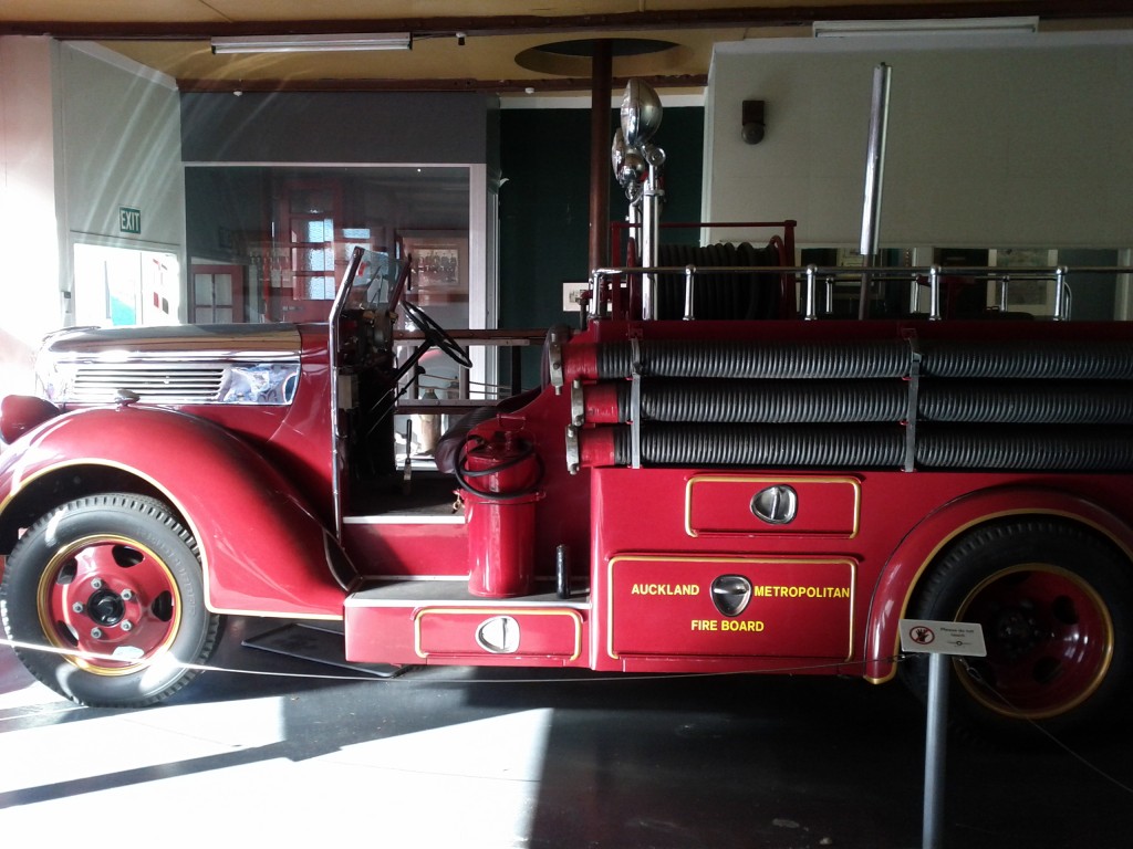
Motorised Auckland Fire Truck

Seeing how exposed drivers were on early cars are trucks is amazing, it must have been like driving whilst sitting on a park bench…. and no such thing as a seatbelt, or even doors to stop yourself from falling out sometimes :-/

I didn’t get many pictures of the other cars they have, although there’s a big selection of icon cars from the 20th century – quite surprising seeing how big some of the early models were, compared to the compact size of modern vehicles – some of their engines must have been at least 4 times the physical size of my modern 1.3l engine.

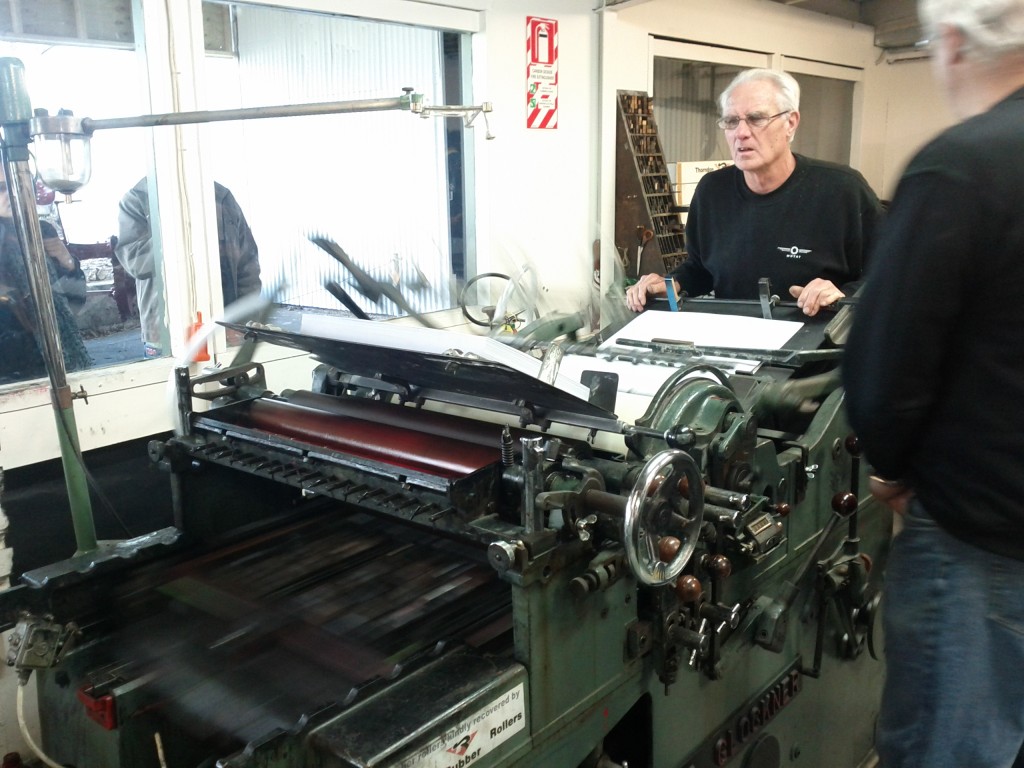
Mechanical printing press.

The mechanical printing press was pretty interesting to watch – the machine has an arm with various suction cups on it, which is used to pickup each sheet of paper and feed it into the print rollers.

The photo doesn’t really do it justice, so I’ve uploaded a youtube video of it in action here, you wouldn’t expect something that looks like such a crude mechanical machine to do such as accurate job of feeding and printing the pages.

Wonder how long until the news paper printing presses of the 2000s era end up in there as well, with the shift to digital it might not be that much longer…
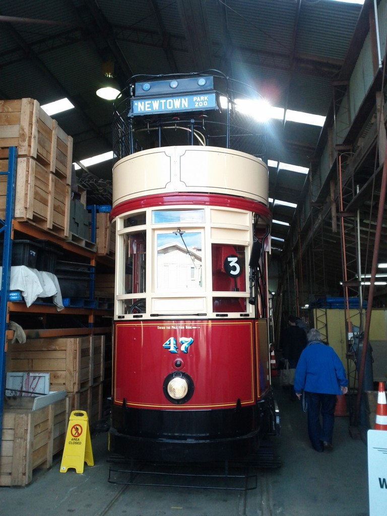
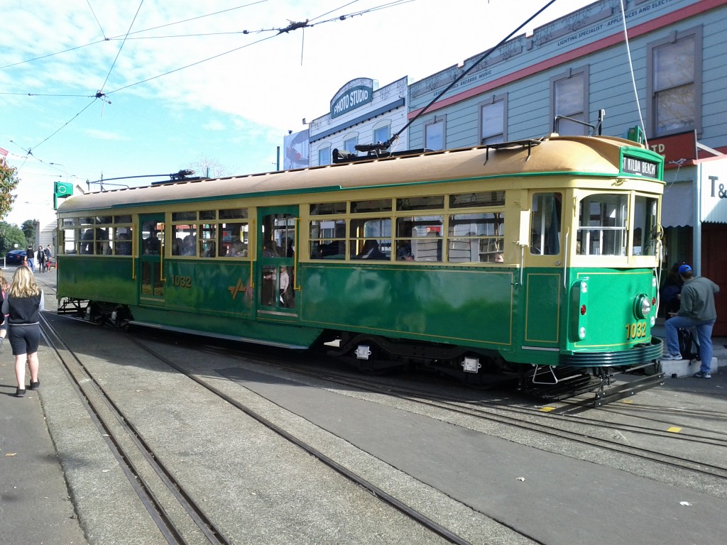
Trams! And a Melbourne tram no less! :-D

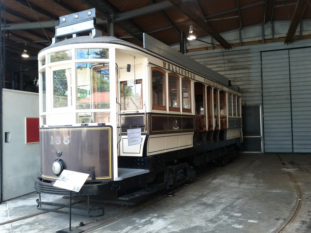
Wellington Tram! (double <3)

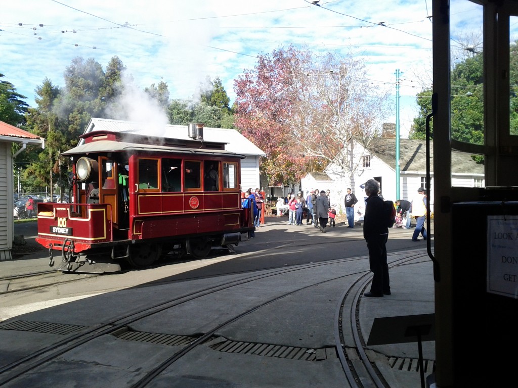
Steam powered tram - it's effectively an engine only, designed to pull/push tram trailers.

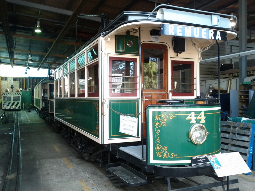
Auckland Tram!

Double decker Wellington tram! I wonder how popular the upstairs was on a cold windy Wellington day. :-/
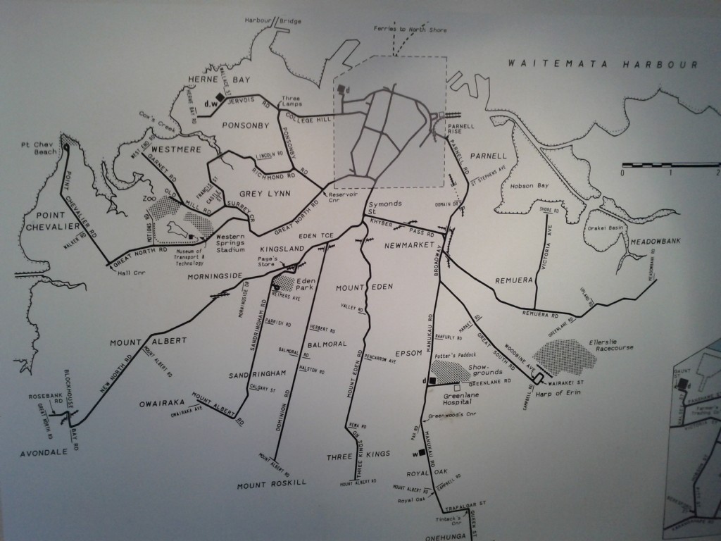
Map of Auckland's tram network - really wish they had kept it, Auckland needs all the public transport it can get. :-/

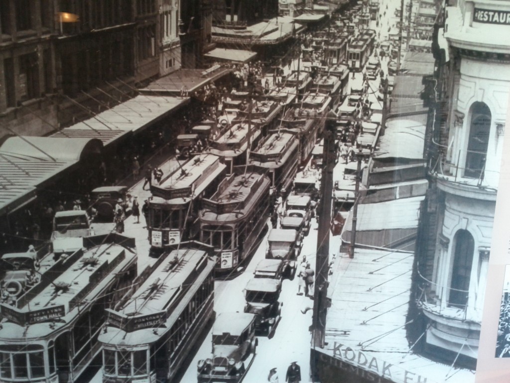
Trams on Queen Street.

It’s probably pretty clear that I love trams and MOTAT offers a great experience with a large number of them in excellent condition, as well as a number of ongoing restoration projects in the works, including an interesting sounding “freight tram”.

There’s at least a couple Melbourne trams and several trams from Wellington which are in good running condition, not sure about the Auckland ones, but they look pretty good so I presume they may also be in running condition,

What’s really cool is that since MOTAT is split into two sites, they run several trams regularly which you can ride between the two sites, with an in-between station at Auckland Zoo – you get a free return ticket with your MOTAT entrance fee.

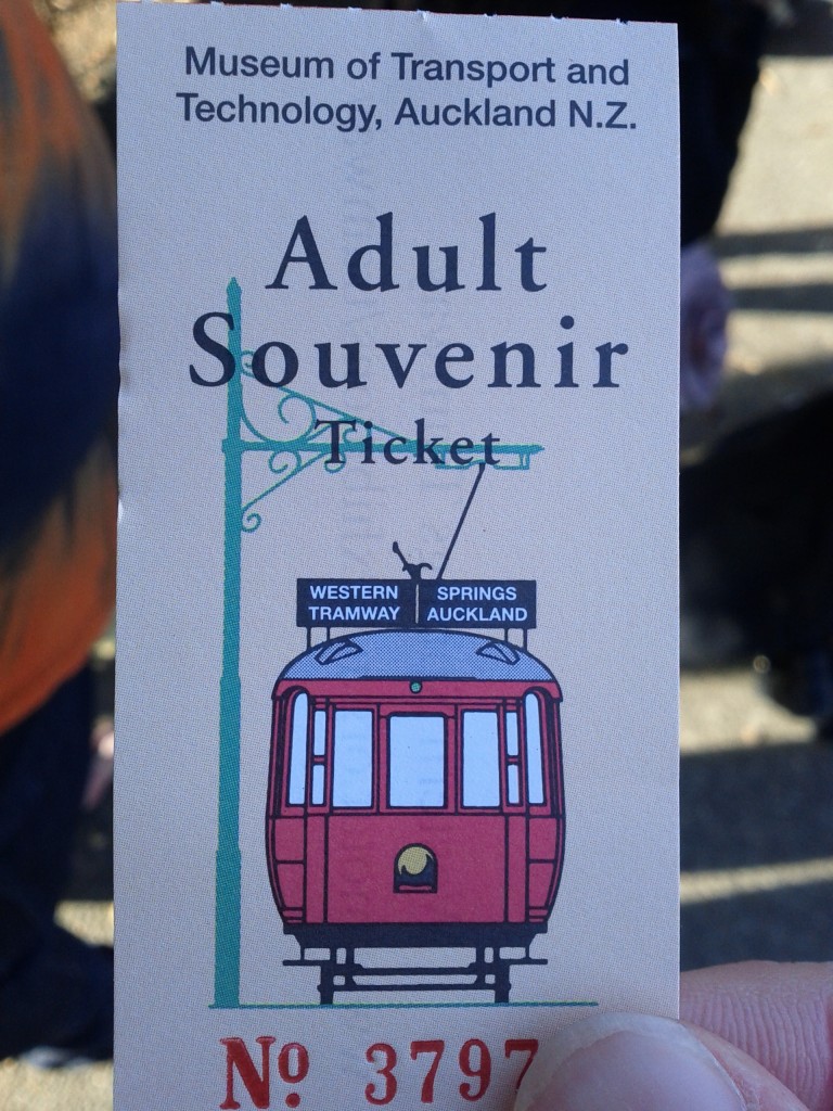
Tram ride ticket :-D

Historical sandwich maker :-P (just kidding dear! don't hurt me!)


The mini from Goodbye Pork Pie

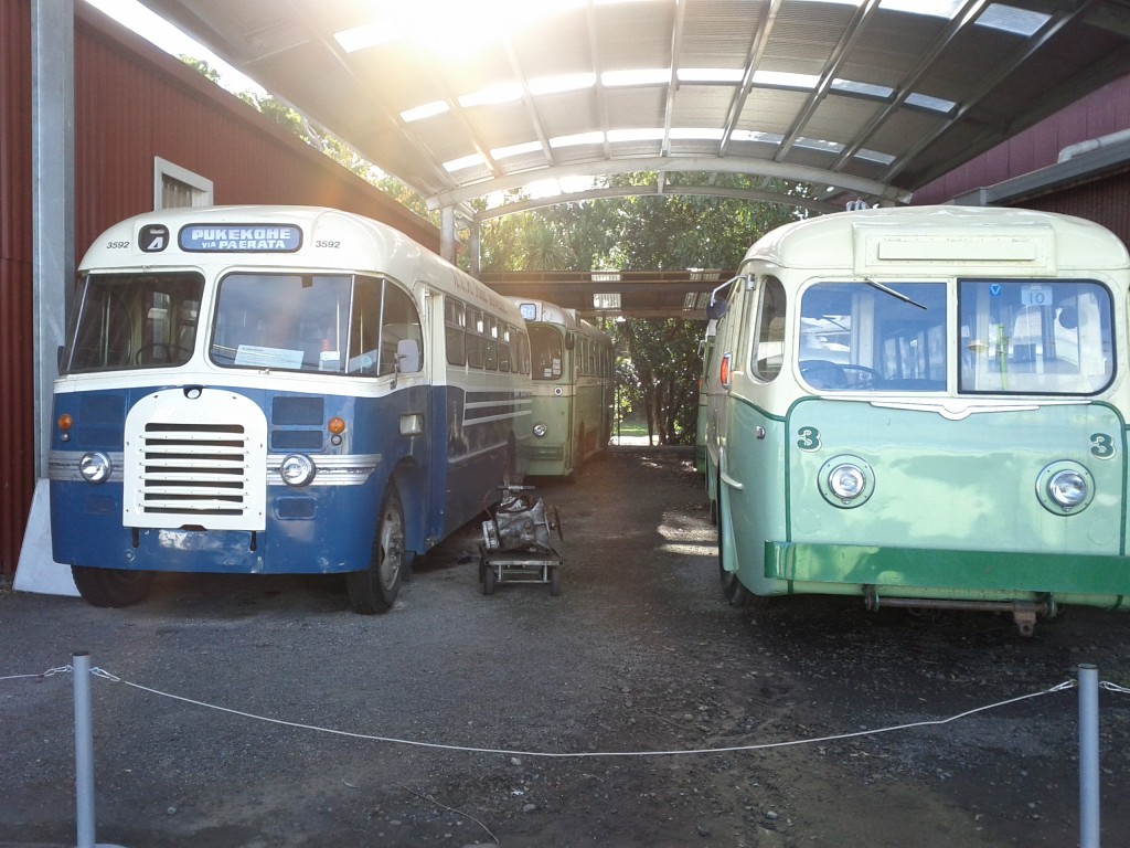
Retro buses!

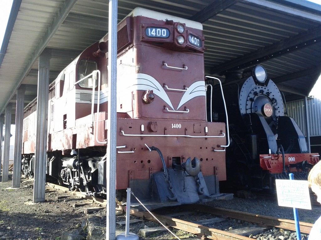
Massive locomotives - would love to see that steam train when it was running!

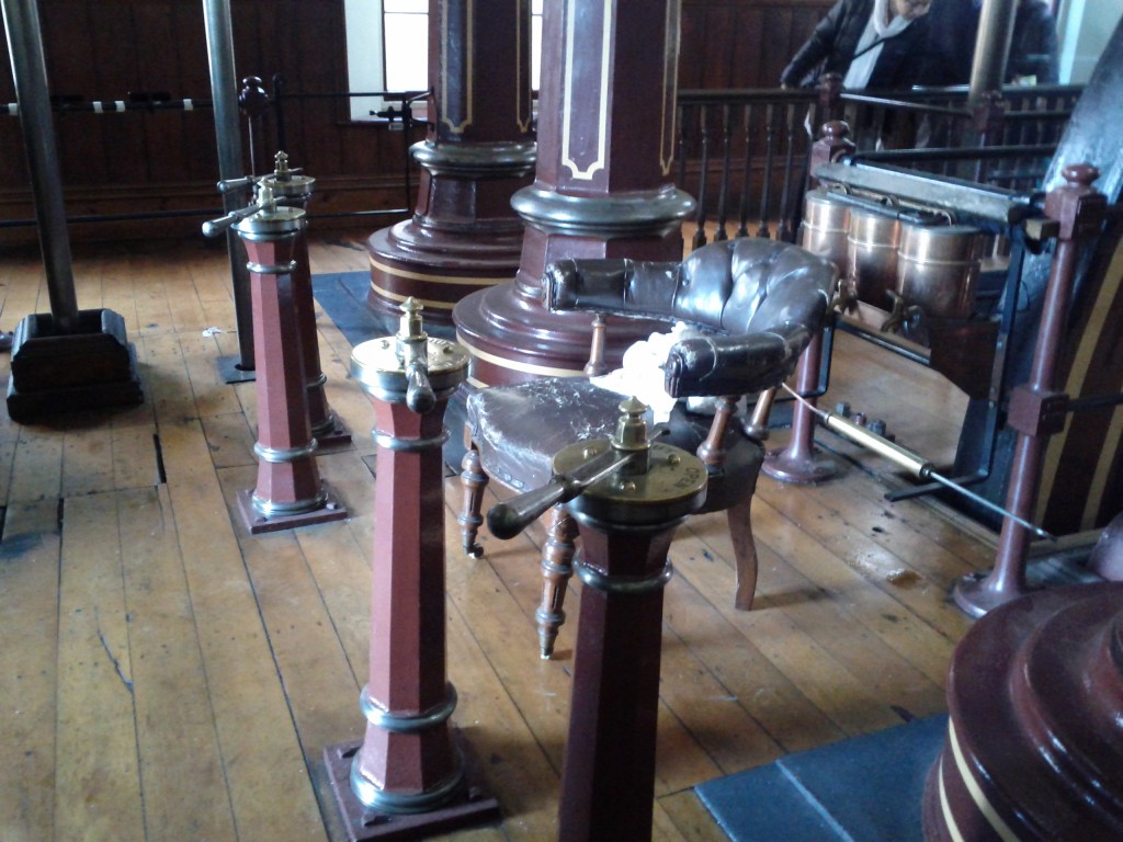
Steam punk throne! m/

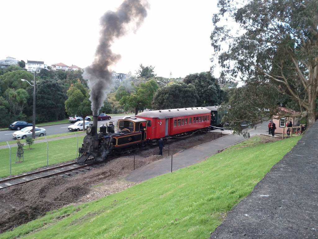
OMG OMG OMG steam train!!

I was fortunate in that I chose to come on the right weekend, as the steam train only runs on select Sundays. Whilst it’s not a long run of track, it’s always a treat to see steam locomotives when running – I took a video and uploaded to youtube of the train running. :-D
Standing on trams is great for holding cute females closely. Watch out Melbourne ladies! ;-)

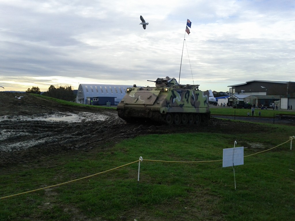
Tank rides! I didn't get a chance to go on it myself, but looks quite fun. They move surprisingly quickly over the muddy field too
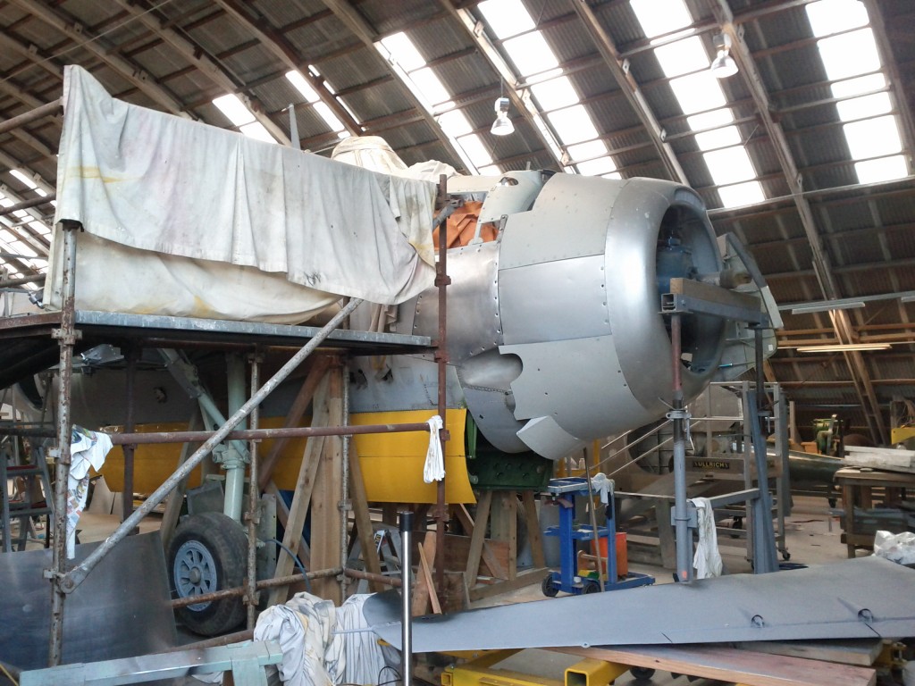
Quite neat seeing planes in various stages of assembly in the workshop.

Lots of planes outside in various conditions, many military options, some DC3s and some sea planes.

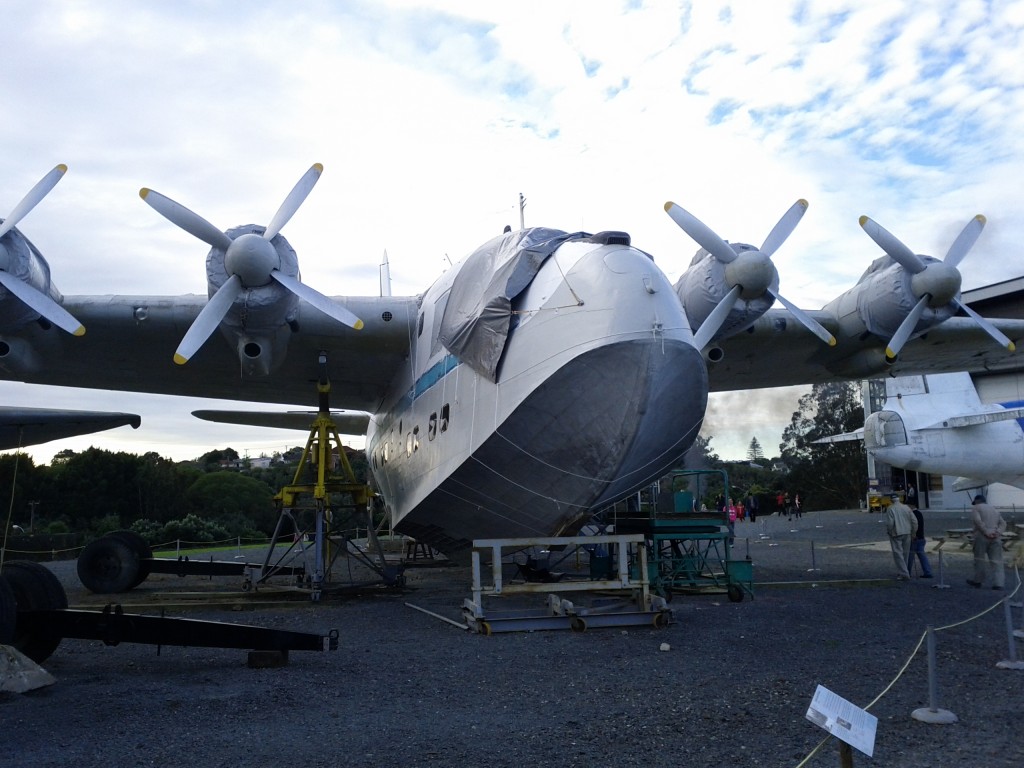
Massive sea plane - size becomes really noticeable when you see the people on the ground near it.... it amazes me that these things actually fly sometimes.

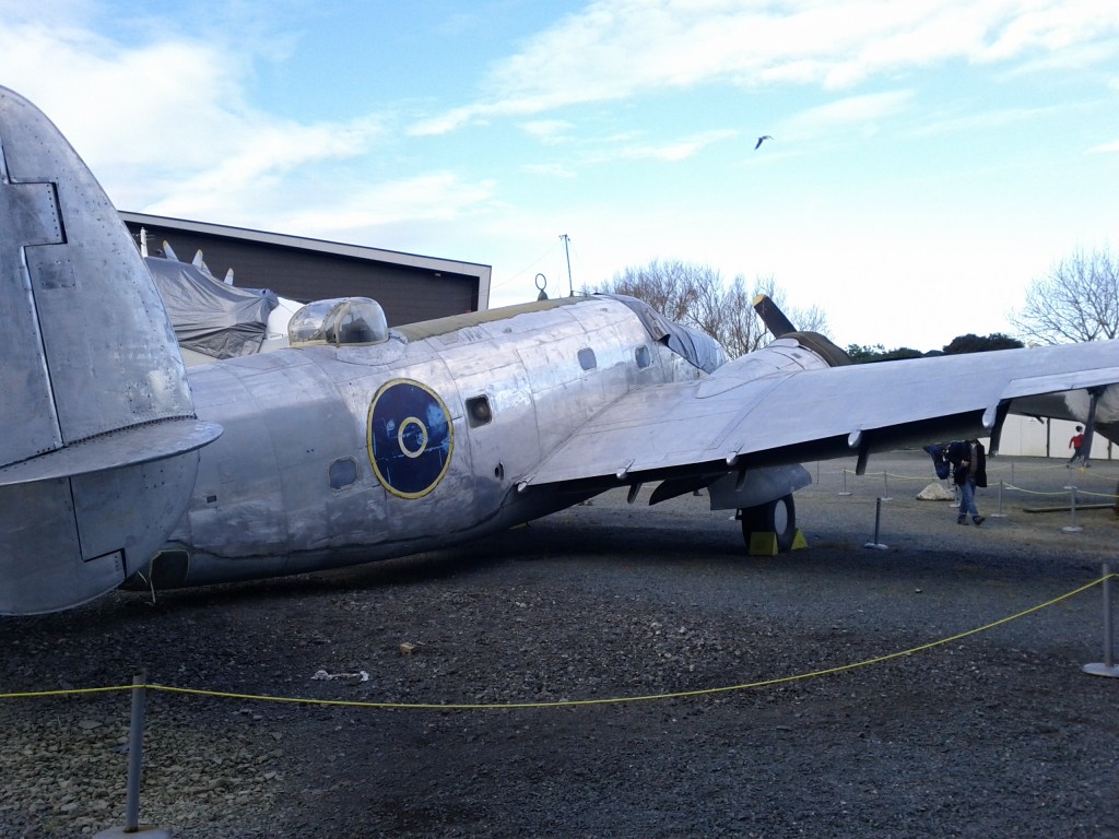
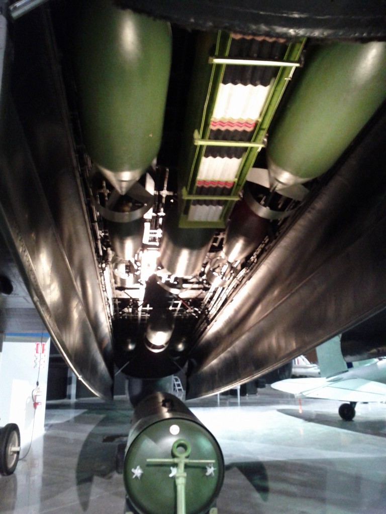
Avro Lancaster Bomber

Bombing bay... I wouldn't want to be anywhere near bombs that size when they drop....

The Avro Lancaster is one of the best pieces in the aviation hall – it’s got to be one of the most famous and well known aircraft of the war, but for all the pictures and videos, you don’t really realize how massive the aircraft really is until you get up close to it IRL.

Especially the massive tires, rather than modern designs with groups of numerous smaller tires, the Lancaster has two massive tractor-sized tires that retract up into the wing.

Apparently one of my great grandfathers was on these during WW2, although I’m unsure of his exact position/role onboard.

Ah, the NZ skyhawks.... the most action they ever got was firing a warning shot over the bow of an illegal fishing ship, then got to sit in plastic wrap for years until the government decided nobody wanted to buy them, so scrapped them.

Aerial Mapping Plane

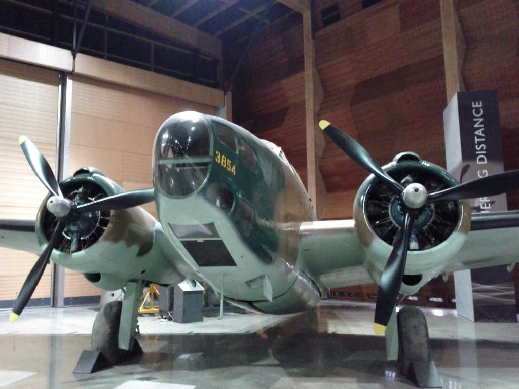
Large number of interesting bombers like this around the hall.

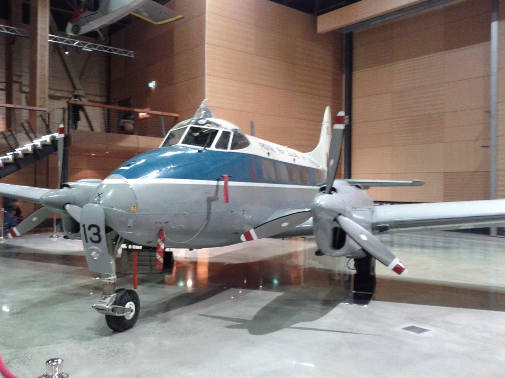
Old NZ Air Force VIP transport.

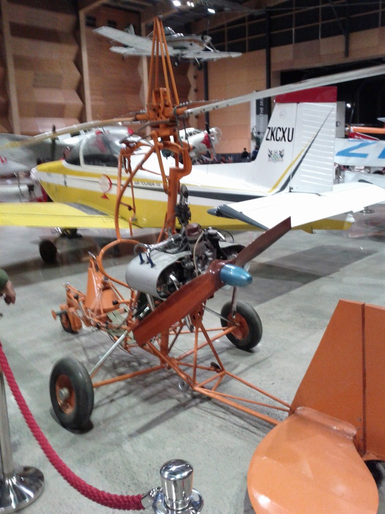
NZ-build Gyrocopter :-D

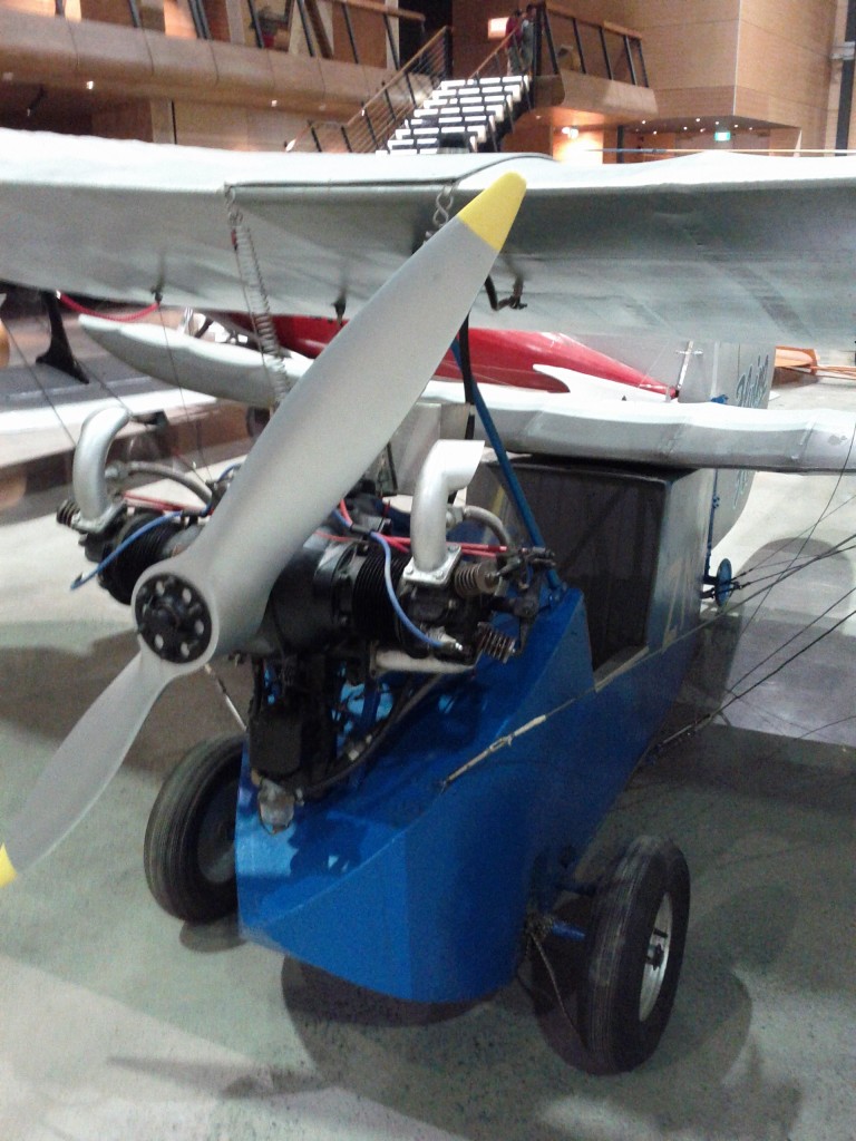
"Flying Flea" kitset aircraft

Overall it was a pretty excellent trip – we spent about 3 hours there, but I could have spent maybe 5 or 6 even, if you stopped to do everything and took the time to watch more of the scheduled activities and events.

It’s actually one of the few touristy things that I’d be happy to pay the entrance fee for, at $14 per adult, it’s pretty cheap – especially when compared to other Auckland attractions like Kelly Tartons ($34 per adult, maybe 2hrs activity at most).

It’s easy to get to with a car, there’s an abundance of parking, and there’s also a bus stop right outside if you’re going to brave the Auckland public transport system. :-)
Takapuna to Devonport

Working from home for the past 7+ months has left me with strong urges to get out and about on the weekends, least I go crazy from being coped up inside – whilst my inner geek urges to sit infront of my laptop and code are strong, getting outside for a walk, seeing new places and new people always puts me in a better mind set for when I get home to do a large coding session in the evening afterwards. ;-)

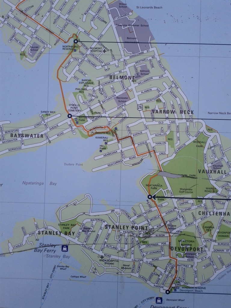
The last two weekends I’ve done the Takapuna to Devonport (Green Route) walk, a pathway I discovered purely by chance whilst walking to Devonport along the main road route due to an entrance onto a park just at the start of the memorial WW2 tree-lined road half-way in my journey.

It takes you through a number of parks that I didn’t even know existed, over the marsh lands and through some of the older streets towards Devonport with characteristic turn of the century houses (Devonport being established as a suburb around 1840 and one of Auckland’s older suburbs).

There’s a handy map you can download from the council here and the whole route is walk & cycle safe. It’s certainly the better route to take, the road route between Takapuna and Devonport should be avoided at all costs, considering it’s always congested and overloaded with traffic, as there is only one road route from Devonport all the way up to Takapuna in order to get onto the motorway.

Having made the mistake of trying to drive to Devonport once before, I’d avoid it at all costs, you’d get from Devonport to Takapuna faster by taking the ferry to Britomart and bus from there IMHO, nose-to-tail traffic the whole way on a Sunday evening isn’t that fun, not to mention a nightmare finding car parking in Devonport itself.

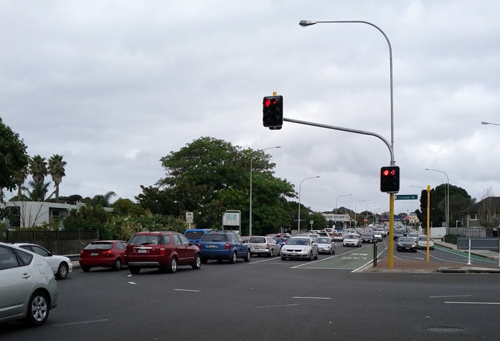
Traffic backed up from the Esmond Rd - Lake Rd junction. It's like this for a good suburb or two, even on weekends. :-/

The sane way for non-car loving Aucklanders to get around.

The route signage is pretty good, although I found that whilst Devonport-to-Takapuna was almost perfect in directional signage, the Takapuna-to-Devonport approach has a few bits that are a little confusing if you hadn’t done it the other way first.

There’s also a complete nightmare in terms of cycle vs pedestrian marking, something that the North Shore City Council loves doing, such as alternating conventions of left vs right side for cyclists – something I’ll cover in a future post. :-/

The route doesn’t seem particularly busy, most of the activity I saw was with people in the various parks the route crosses through, rather than others completing the same route as me – I expect the length detours them a bit (took me around 1.5hrs).

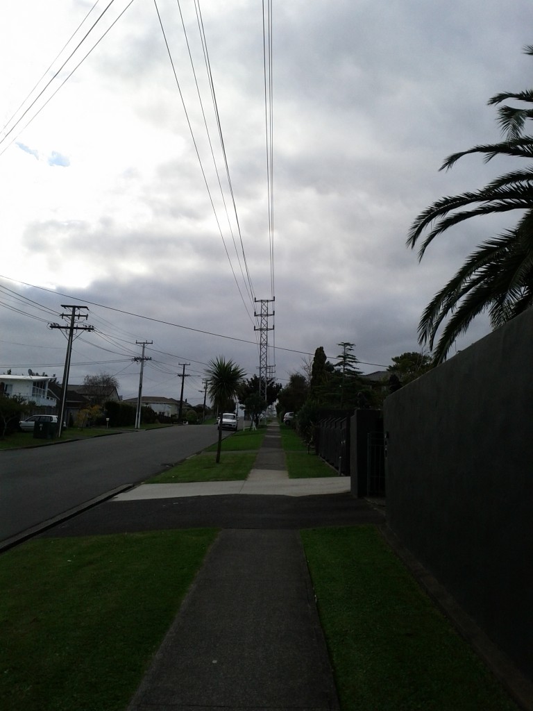
Starting from Takapuna/Esmond road, the route is firstly though the newer suburbs of Takapuna, with a weird suburban/industrial mix of some lovely power pylons running along the street.

Ah, the serenity! :-D

TBH, Takapuna suburbs bore me senseless, they’re a giant collection of 1970s-2012 housing projects, very American-dream type feel at times. Thankfully one soon escapes to the parks and walkways along the marshy coast.

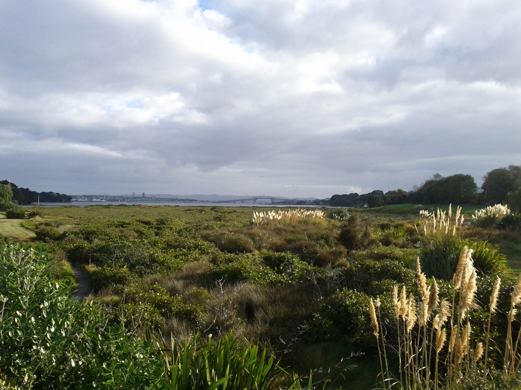
Marshy land, Auckland Harbour bridge in the distance.

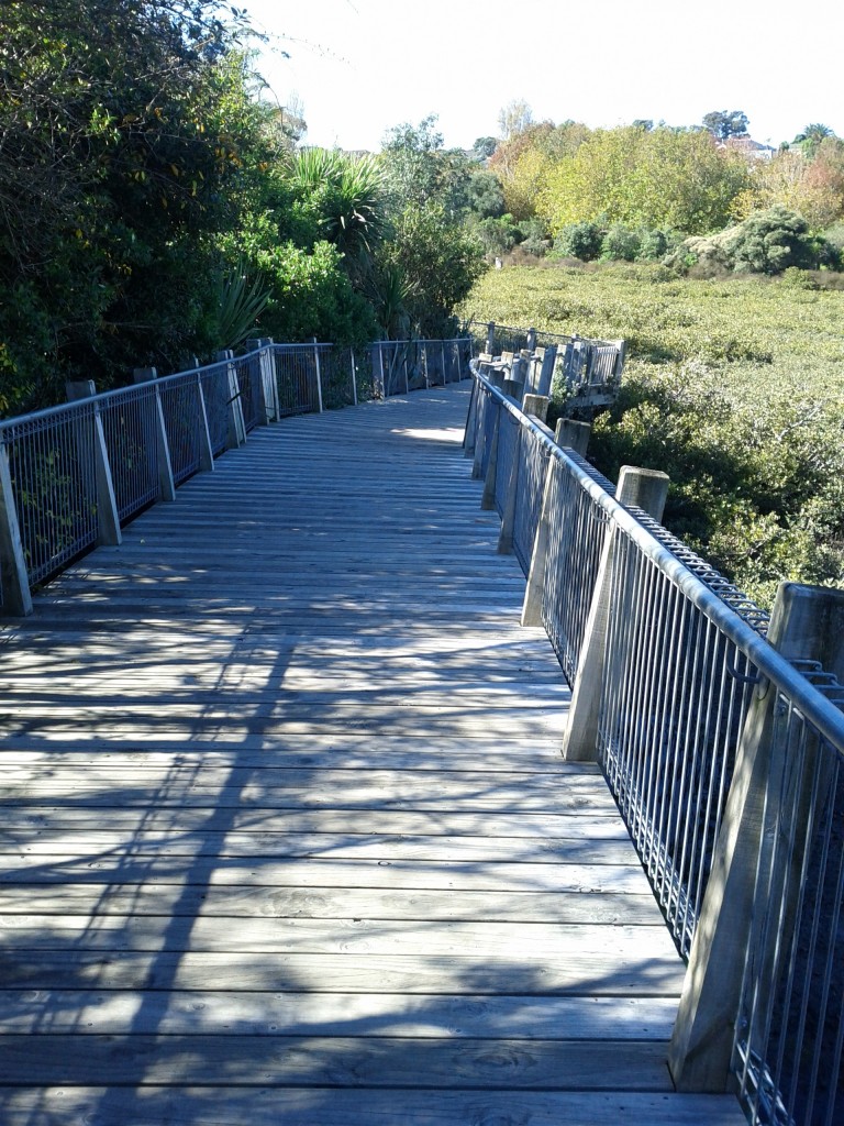
One of several boardwalks so you won't get your feet/wheels muddy - unless you want to. :-)
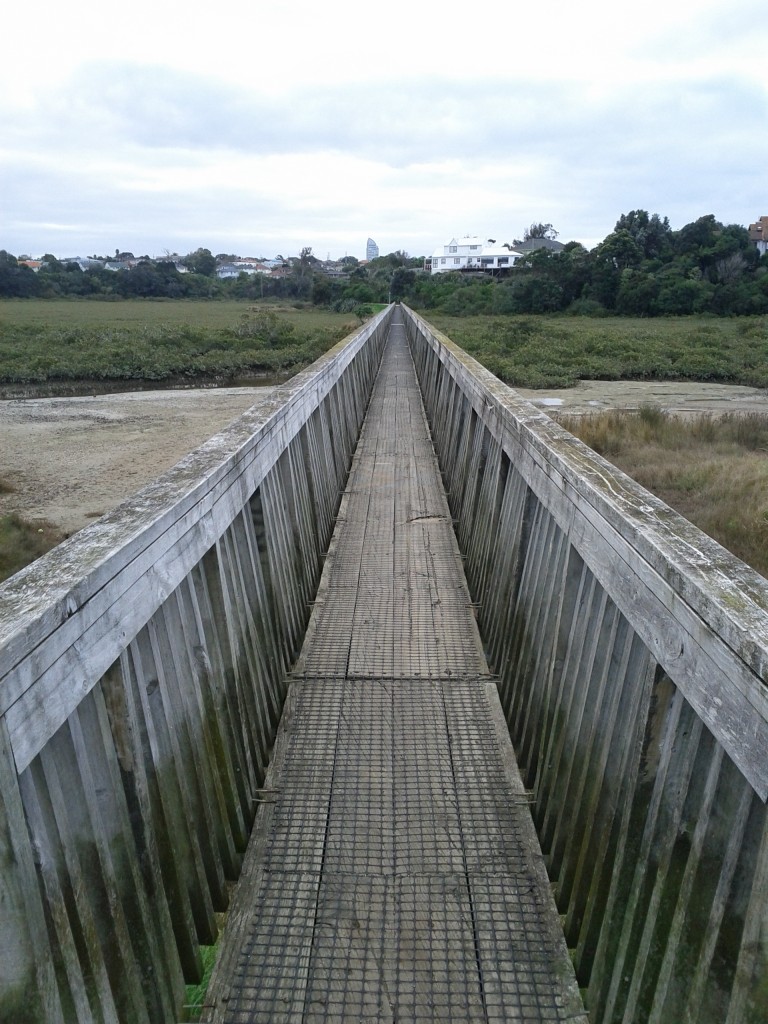
Long bridge is long! (kind of reminds me of Crash Bandicot's Road to Nowhere). If the ground is dry, you could brave cycling alongside it through the marsh, few tracks suggesting this is somewhat popular.

The route slowly starts getting more parks and greenery, with small intermissions of going back along suburb streets, before rejoining more natural routes.

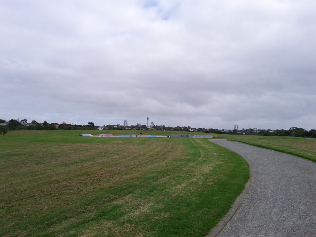
Got a skateboard? And a hoodie? This is the place for you to hang in this otherwise quite empty grassy field called a park.

/home/devonport_residents/.Trash/ (that's a recycling bin joke for you windows users!)

Once you come out of the park, you end up walking through a few blocks of Devonport’s residential area, before coming out onto the main street and along to the shopping and cafe area.

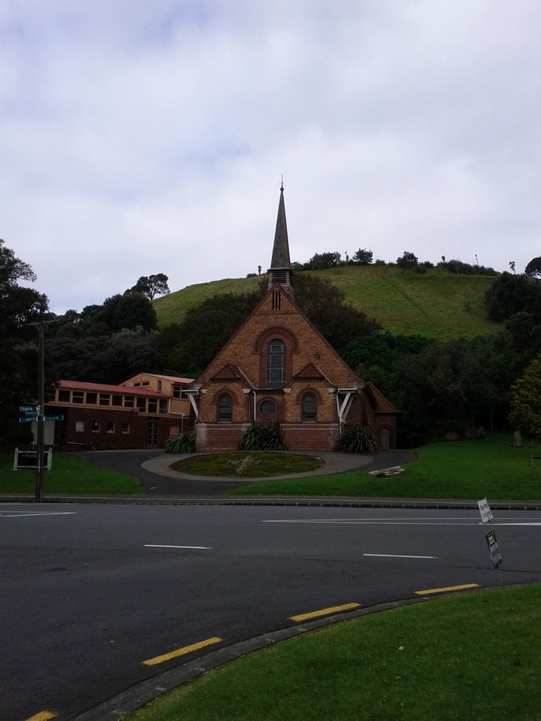
An old church, where Aucklanders worship their god "Automobile".

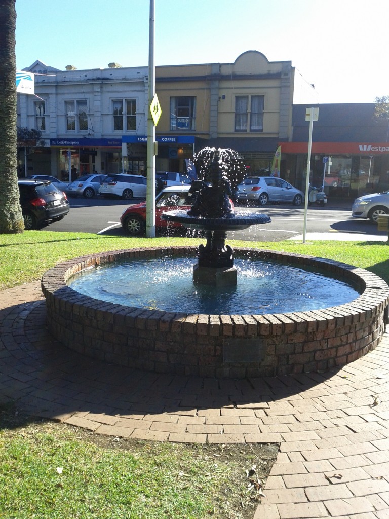
I quite like Devonport, it has a good number of cafes, bars, the waterfront, classic architecture (not bland corporate crap like Takapuna) and generally has charm.

If I was going to live in Auckland long term, I’d seriously consider Devonport as a good place to have house, I’d even consider not bothering with a car, depending on the availability of a good close supermarket.

Of course this assumes working in the CBD or from home, so you can just take the ferry into the CBD, rather than needing to mess around with commuting up to the motorway and into the city everyday. If a car-based commute is vital, you might want to do Devonport a favor and go live in a less classy suburb with closer motorway access.

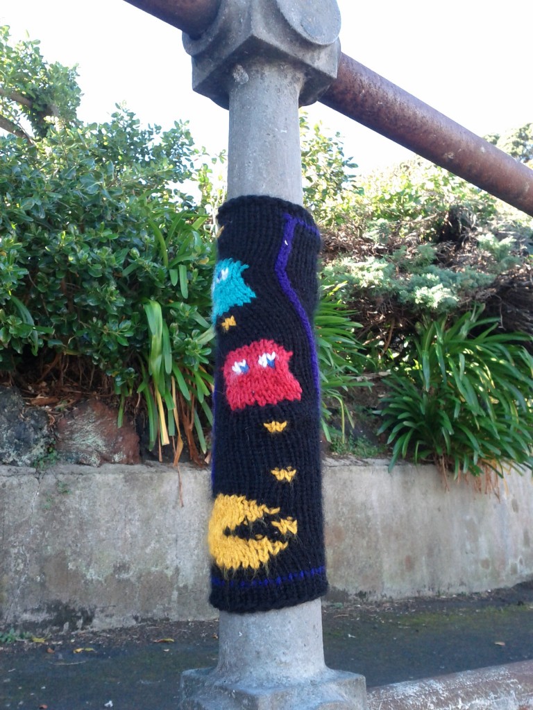
Knitted handrails! This place has style!

Vertical water accelerator.

I stopped for a coffee at one of the several cafes around the main street with an outside area and was pleasantly surprised for a change – I didn’t even see a Starbucks there!

The local residential population appears to have a lot of members of the baby boomer generation and either residential or visiting families attracted to the parks and waterfront.

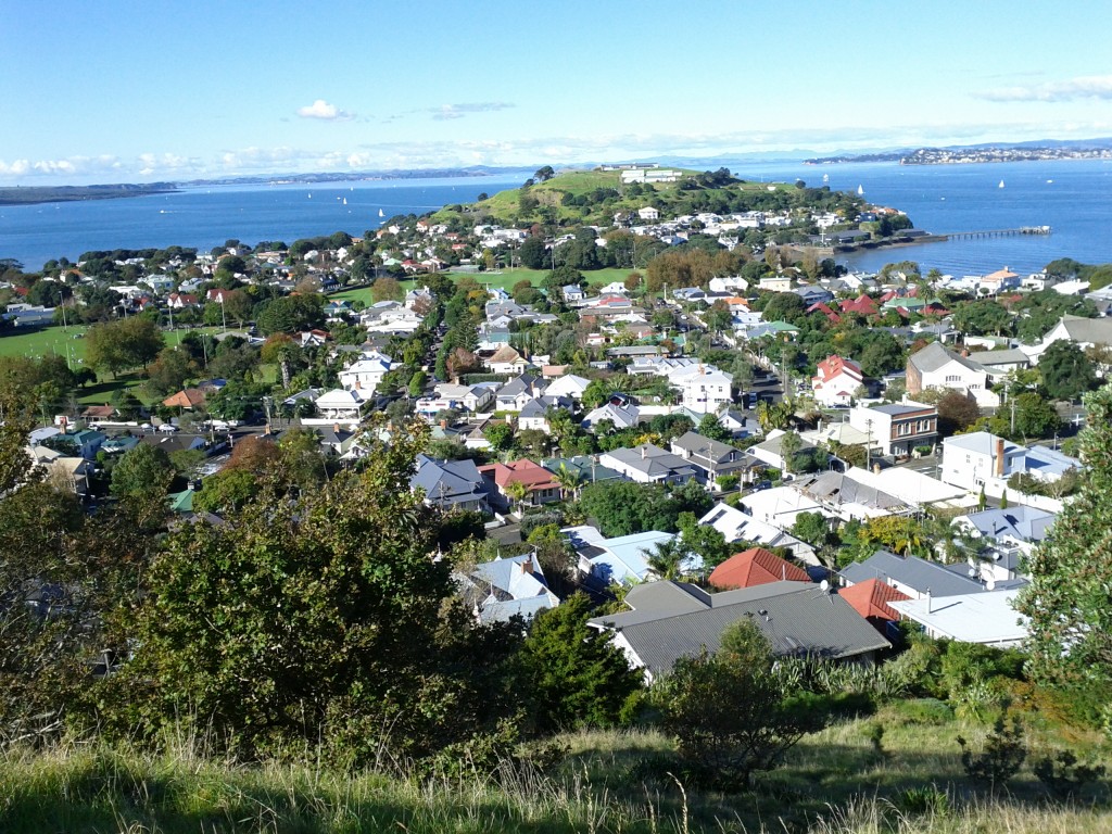
As I was there, I decided to make the short climb up Mt Victoria (*curses settlers who named about 50 million places in NZ Mt Victoria*) and get a good look out over the area. In typical Auckland fashion, it is entirely possible to drive right up to the top, or take a segway tour, but despite the name it’s really just a medium sized hill, nothing compared to Wellington stuff.

Looking out towards Okahu & Mission Bay. Start to get an idea why Auckland is the "City of Sails".

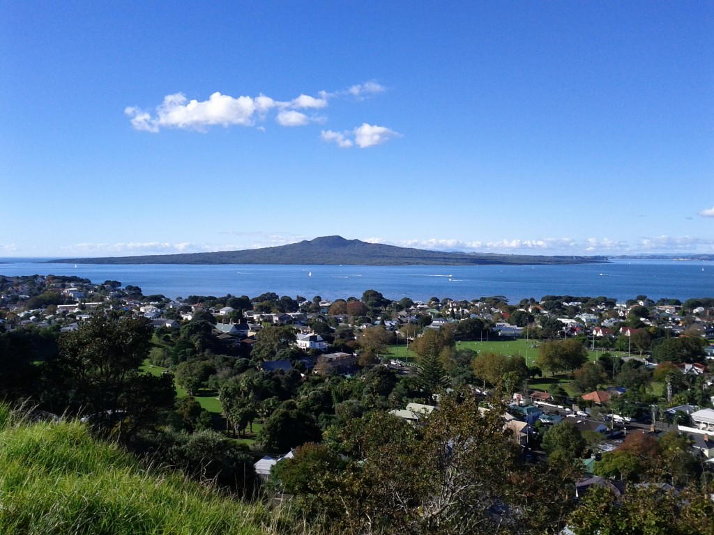
Our old friend Rangitoto island again. Incidentally, Mt Victoria itself is also a volcano, just not anywhere nearly as large.

Looking out over houses towards North Head,

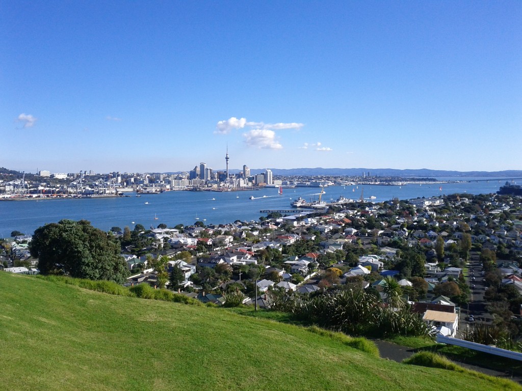
Auckland CBD

Panorama out towards Rangitoto

Panorama showing Auckland CBD on left, Devonport centre and Takapuna in the horizon on the right.

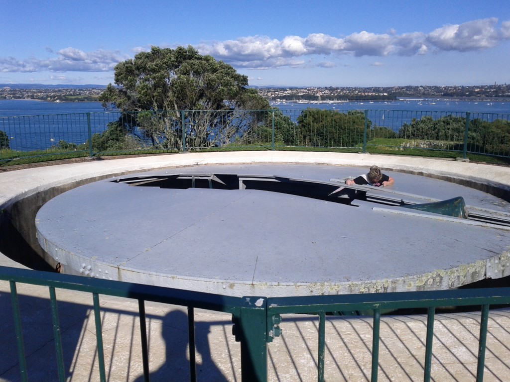
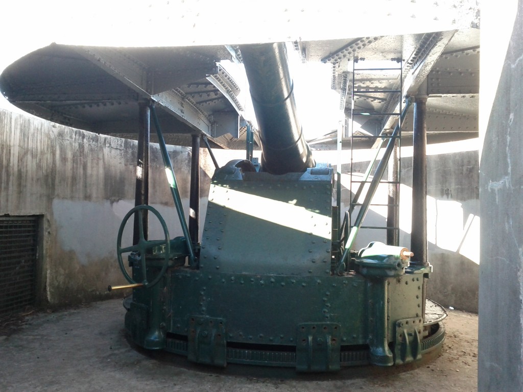
I didn’t know anything about it other than it was a big hill, so damn I was going to climb and conquer that, but it turns out it was part of Auckland’s early military history with a large disappearing gun (BL 8 inch Mk VII naval gun) which was installed in 1899, well before WW2 – seems NZ has a number of good examples of these interesting pre-WW1 weapons.

The magical disappearing cannon!

Fuck being the poor suckers who had to lug this all the way up the hill. :-/

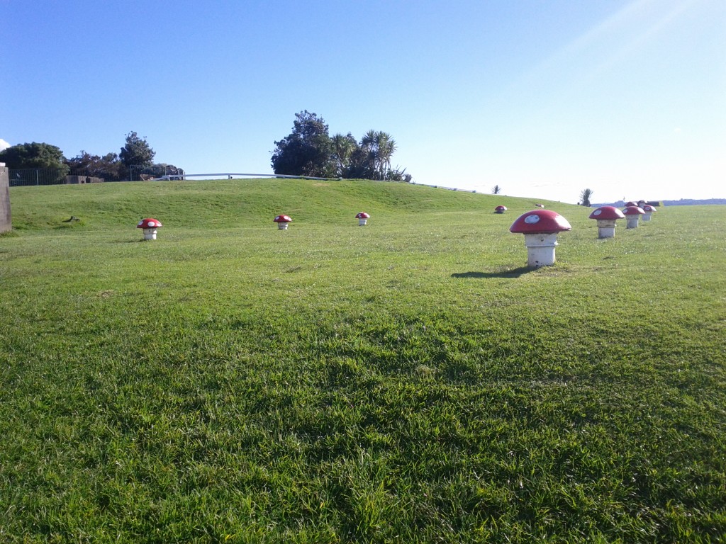
Mushroom vents hint to a large underground complex - sadly closed to the public.

One thing I missed is the other large hill in the area – North Head – which offers a much larger selection of 1800’s – WW2 relics including tunnels and additional guns which are open to the public.

Devonport has had a long military history and is where the main naval base of New Zealand, dating back to 1841, usually has a couple ships berthed to look at – or sometimes coming/going offering some neat photo opportunities.

I tend to find that Auckland really hides it’s interesting stuff, I lived in Takapuna for months before I discovered the existence of many of these interesting walkways and sights, in many cases they just aren’t advertised and from a distance, you don’t get an idea of how interesting some of these places can be. (Mt Victoria and North Head look just like plain hills with some sheds on them from sea level).

That’s why I love exploring on foot, find so many gems, look them up online, find another 5 related ones to go and check out. :-) And don’t be afraid to take random interesting looking paths to see where they lead, it’s how I find many places – including many of Wellington’s paths and walkways.
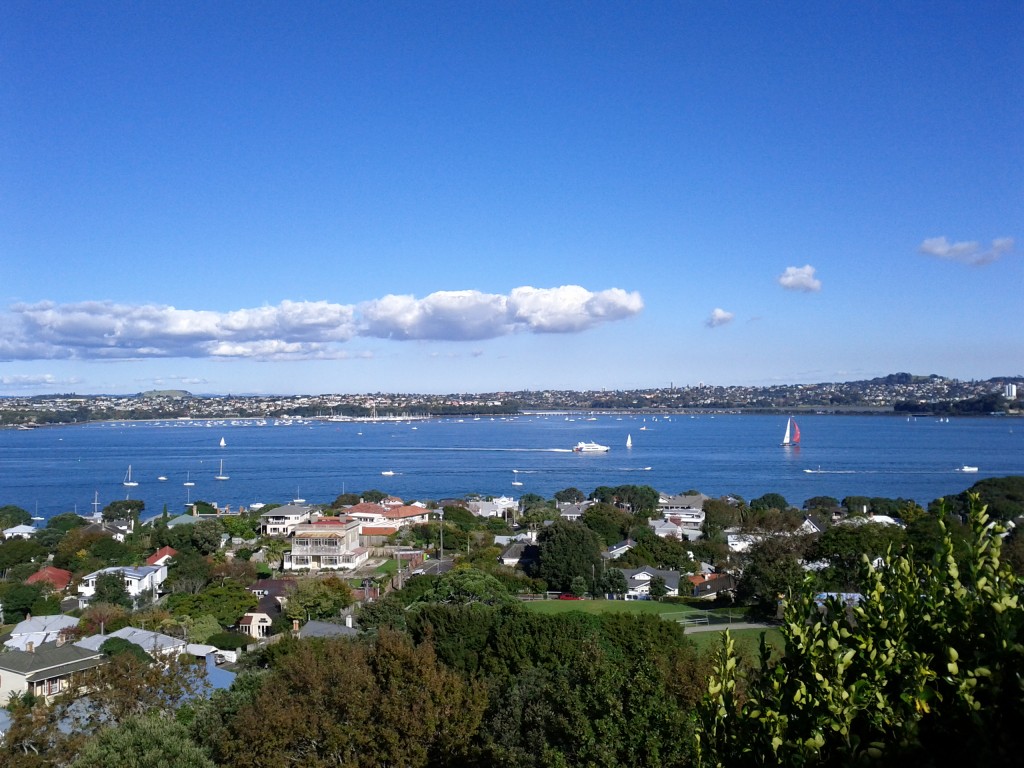
 

After the trip up Mt Victoria, I wandered back down and along the waterfront – turns out it’s a fantastic place to get close up shots of any large ships passing by.

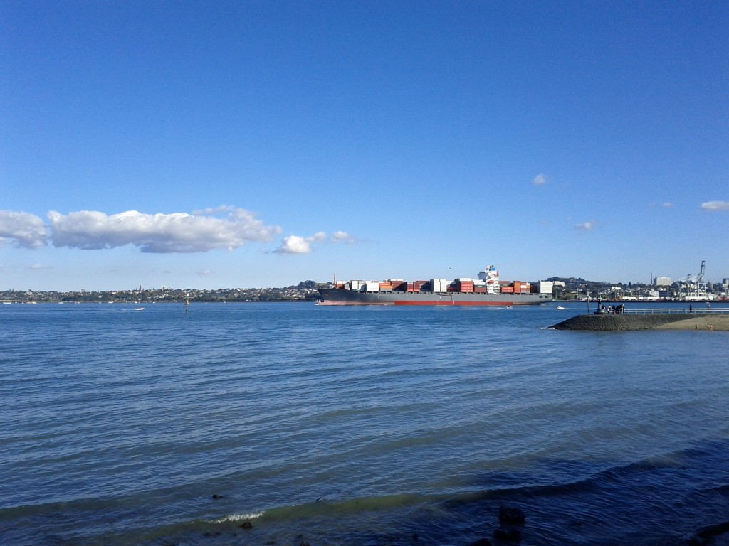
Rena-sized cargo ship, gives an idea how massively large these things are when seeing up close. See the little speedboat to the right for an idea of the size difference. :-D

I ended up heading to the ferry terminal to get the ferry over to Britomart to catch up with friends, only took less than 15mins to board and cross over the harbor for $6. (frequent traveler discounts available).

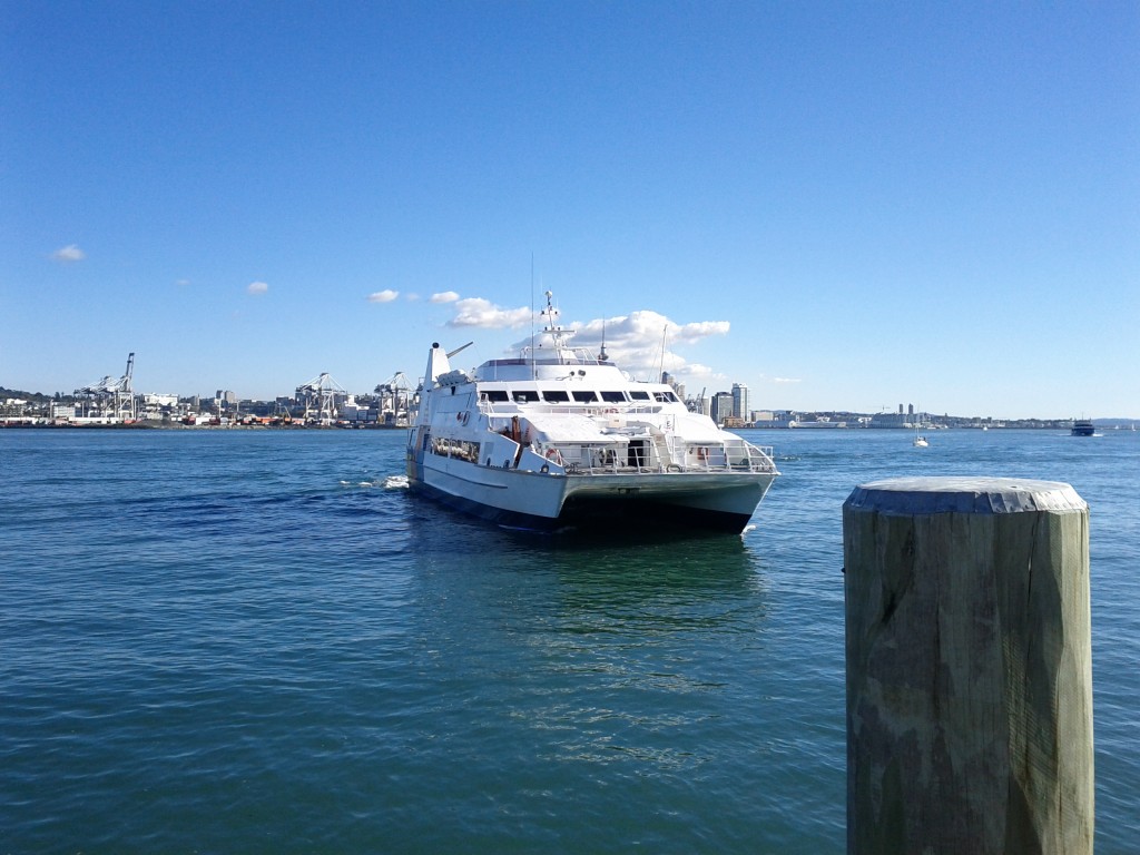
This is Fuller Ferry, requesting Devenport wharf command center to lower defence grid for safe docking.

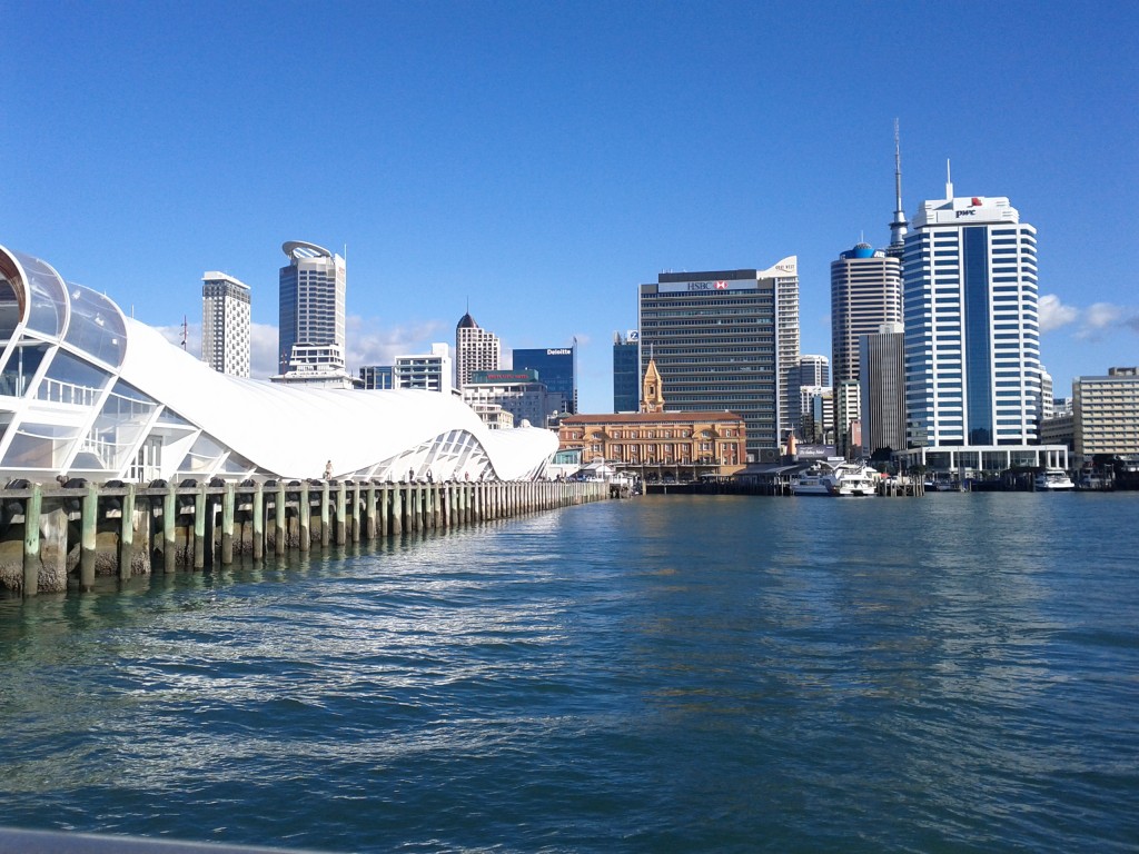
Cruising in to the Britomart ferry terminal, past the Rugby Word Cup "Cloud" event center.

Finally wrapped up the day with a delicious coffee and snack at my much loved Shakey Isles before they closed (closing time is 17:00 on weekends FYI).

Om nom nom (totally not addicted to chocolate)
If you don’t live in Takapuna and want to reproduce this walk, I’d recommend taking the Northern Express (NEX) bus to Akoranga Station, or the normal Takapuna buses to the shopping center, doing the walk to Devonport and then ferry back into Britomart.

It’s an easy day trip and could be as short as 3-4 hrs or as long as an entire day depending what sights and coffee you decide to partake in whilst at Devonport.

The other approach is to do Takapuna – Devonport & return, something that might appeal particularly if wanting to do it by bike rather than foot, there’s a bit more parking around Takapuna, particular Fred Thomas drive area near Akaranga Station to drive to with your bikes.

Makara Walk

Whilst in Wellington for a weekend a few weeks ago, I went on a walk around Makara with my good friend Tom, only I got a little too distracted to blog it until now.

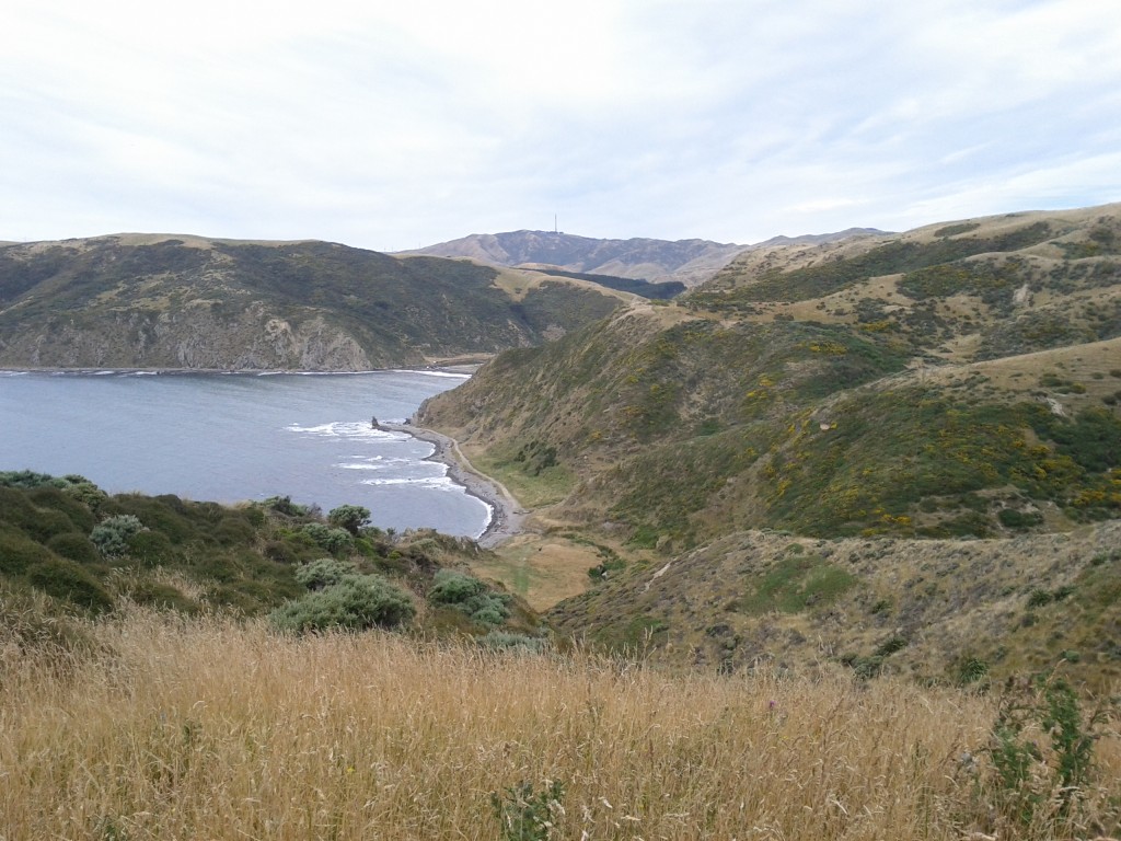
Makara is a very small rural community near the coastline behind Wellington, only about 30mins drive from the Wellington CBD. Whilst you wouldn’t go there to visit the thriving shopping district or cafe scene (ha!), it is an interesting place for some walks up large hills with amazing views and a slight risk of deadly cliff drops or heart attacks from climbing the steep slopes.

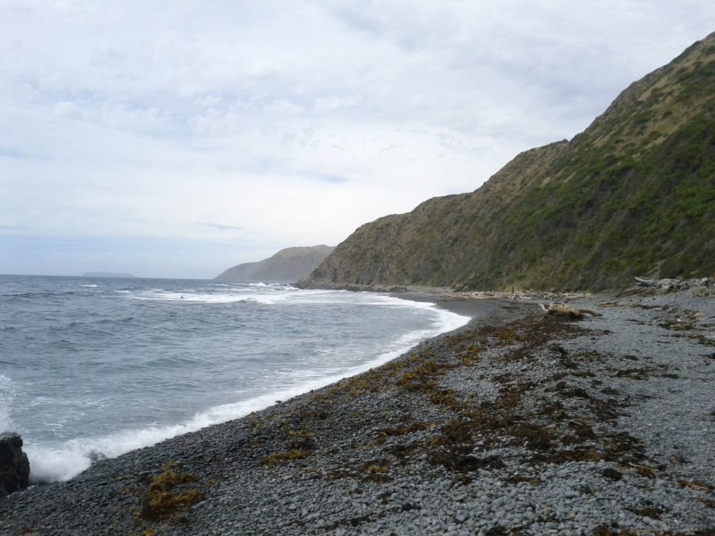
Like most of Wellington, it’s a stony beach so you wouldn’t go there for the soft sand, warm swims and attractive sunbathers, but it does offer a bleakness that is strangely attractive.

No hot sunbathers? Feeling very ripped off.

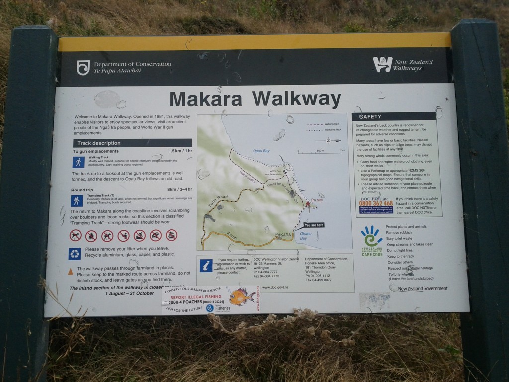
We took the Maraka Walkway which starts off going steeply uphill through some quite undefined tracks (hint: follow the flattened grass paths), before going up to old WW2 gun emplacements, wandering through the windmills and then back along the coastline.

If one desired, there are longer paths that can be be taken right through the wind farms and into other bays. In theory, if you went far enough along the coast, you would end up going around the southern most point of Wellington and reconnecting to civilization at Red Rocks, or even going up to the Brooklyn wind turbine.

The map doesn't quite give a warning to the steepness, also they weren't kidding with the recommendation for some light walking boots, some of the areas are a bit too muddy and rough for sneakers.

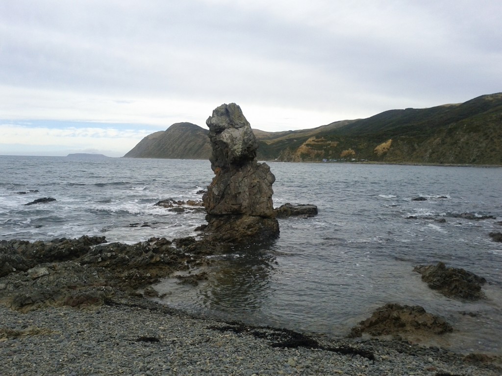
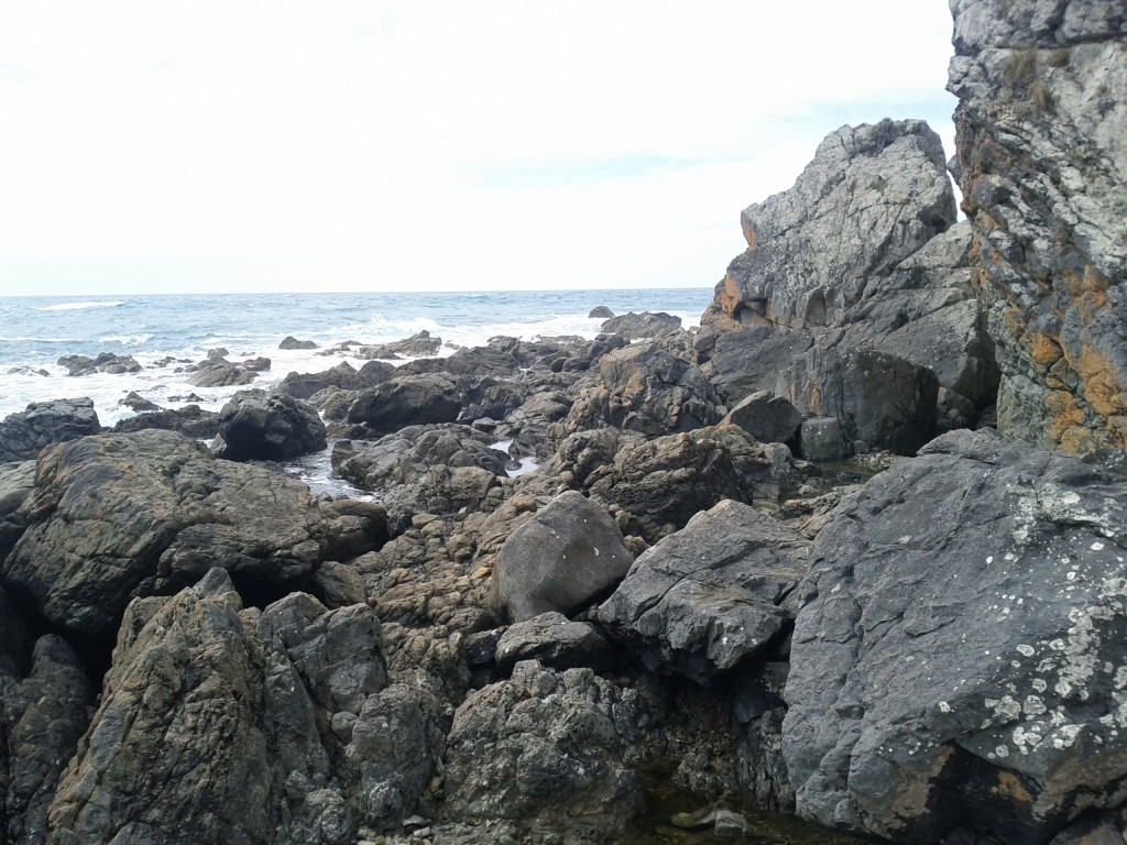
Erect Rocks.

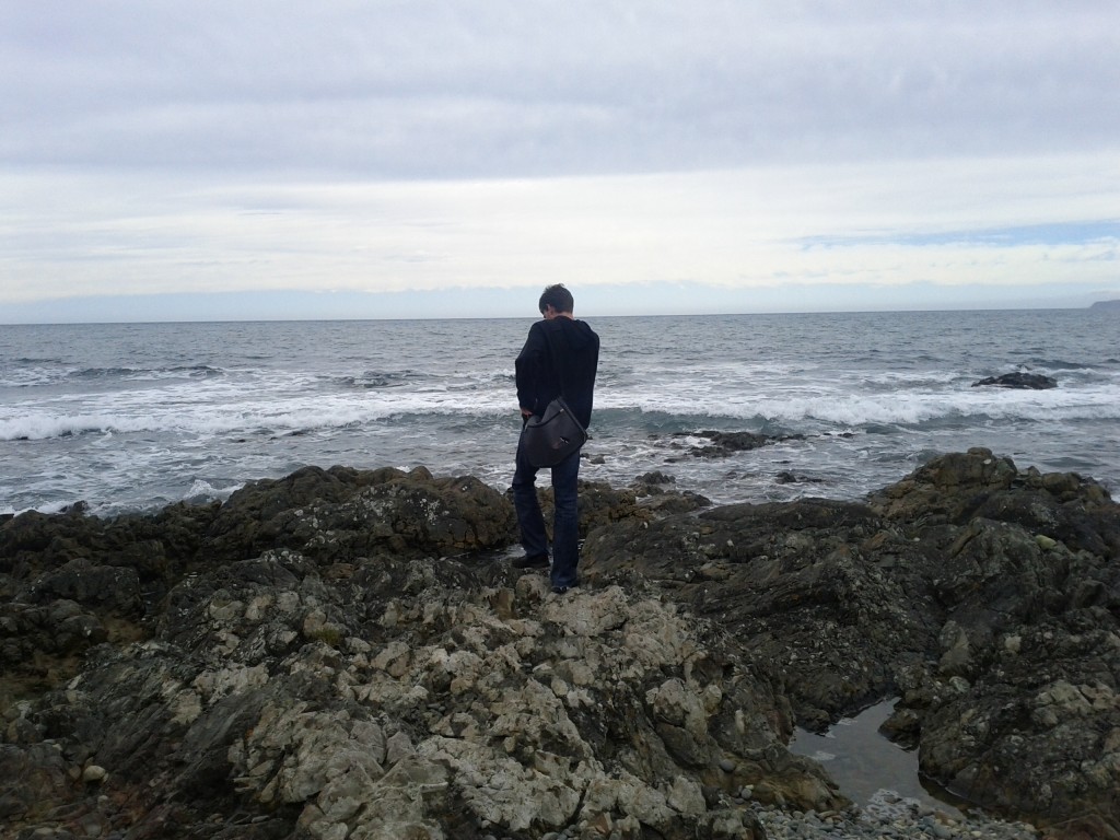
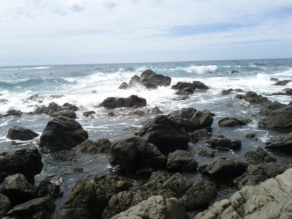
Oh mercieless sea, so strong yet so frail as you fall upon these rocks of land. Ponder thee Tom shall.

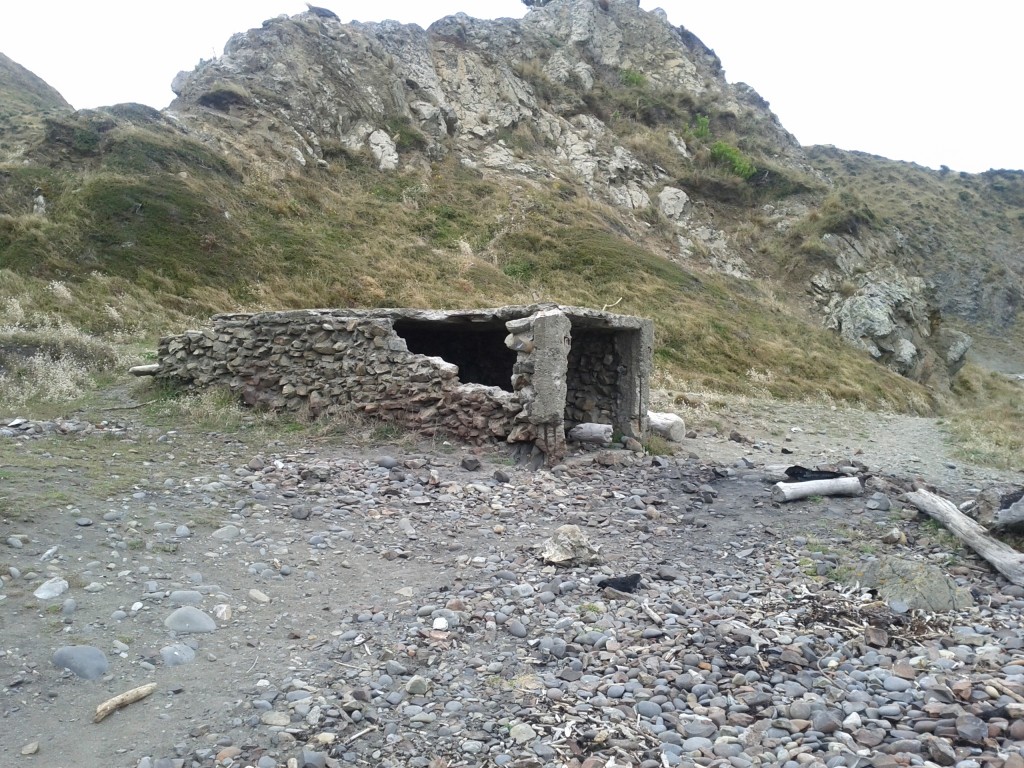
Unsure what this building is - it's in the right area on the map for the Pa site that we couldn't see any other trace of, but it's less than 100 yrs old as it's clearly built of cement and steel and not a Pa...

Climbing rapidly...

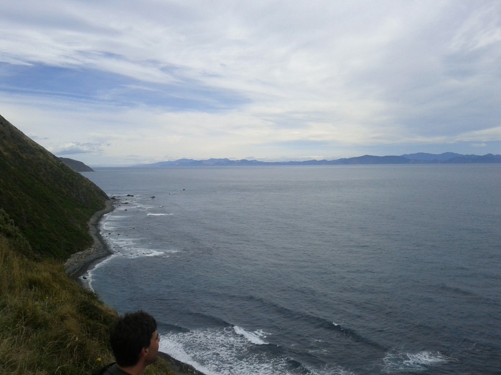
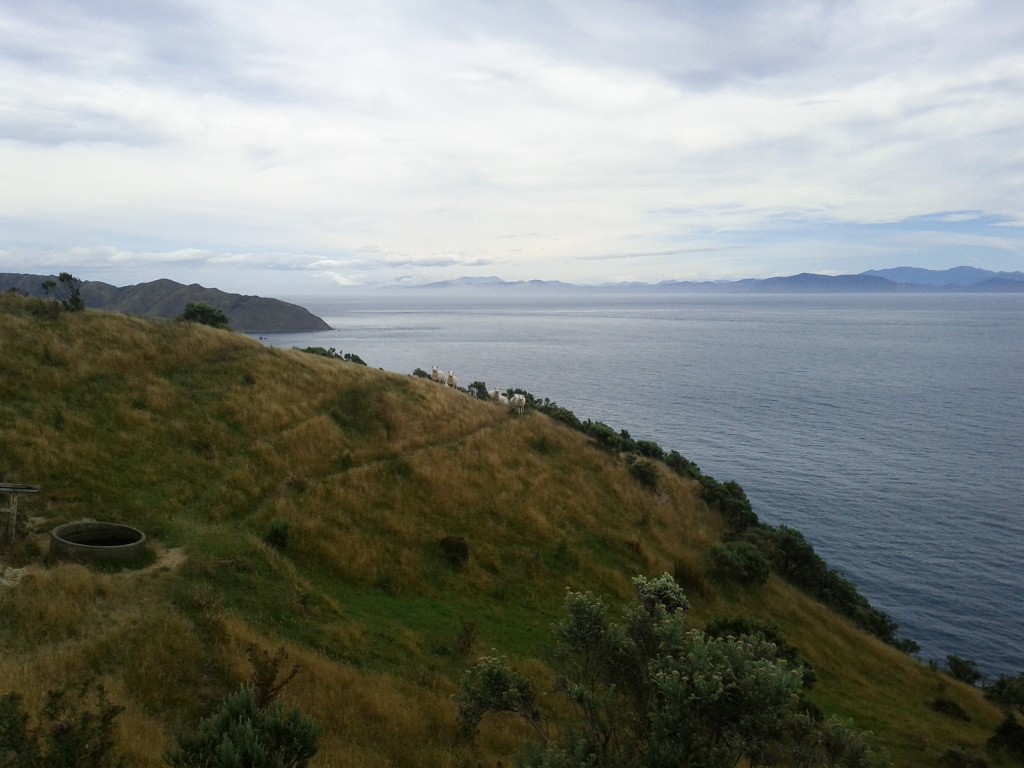
Looking out from a cliff towards the south island

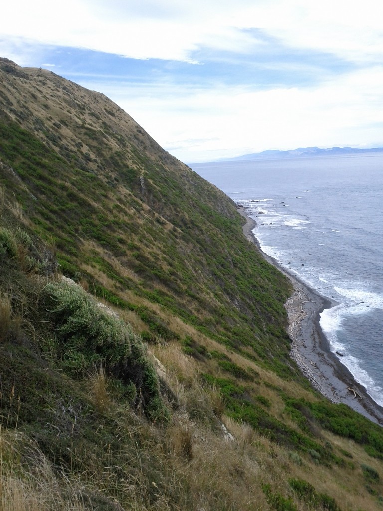
The path winds along these pretty steep hills, wouldn't want to go for a tumble down one.

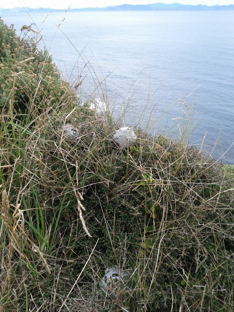
Based on the number of these spider nests around, I would *not* want to be doing this walk whenever it is that these things hatch :-/

Unfit Jethro is unfit and generally just a bit hot.

Whilst New Zealand never had enemy troops landing, we did have the odd axis vessel in our waters and a few shipping casualties and flyovers by German and Japanese craft.

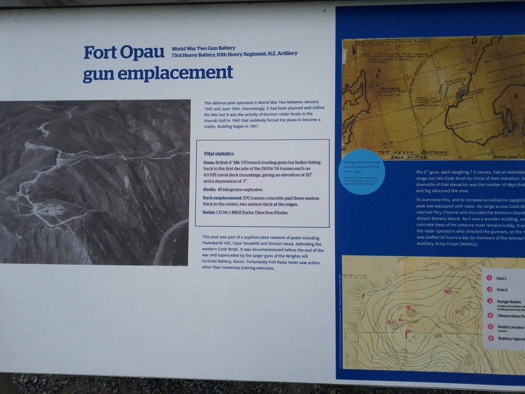
During the war a number of gun emplacements were built to fend off invasion and there were American troops stationed in the country, although I don’t know why the Japanese and German forces wasted time/effort with New Zealand, it’s too far away from any action and Australia would be a much better target.

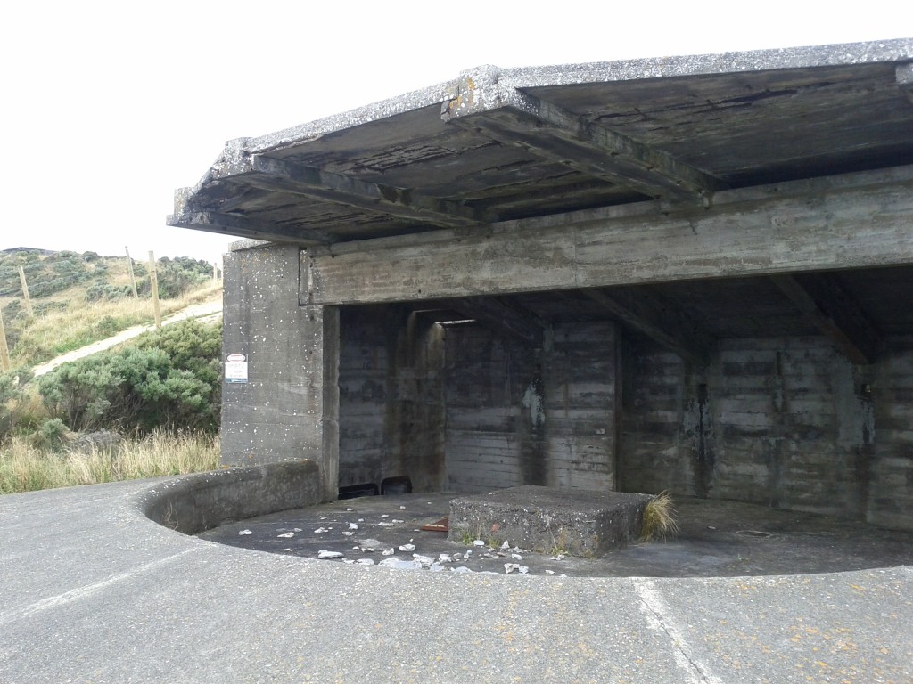
After the war these were mostly dismantled and the guns taken away, although the concrete emplacements were left as-is.

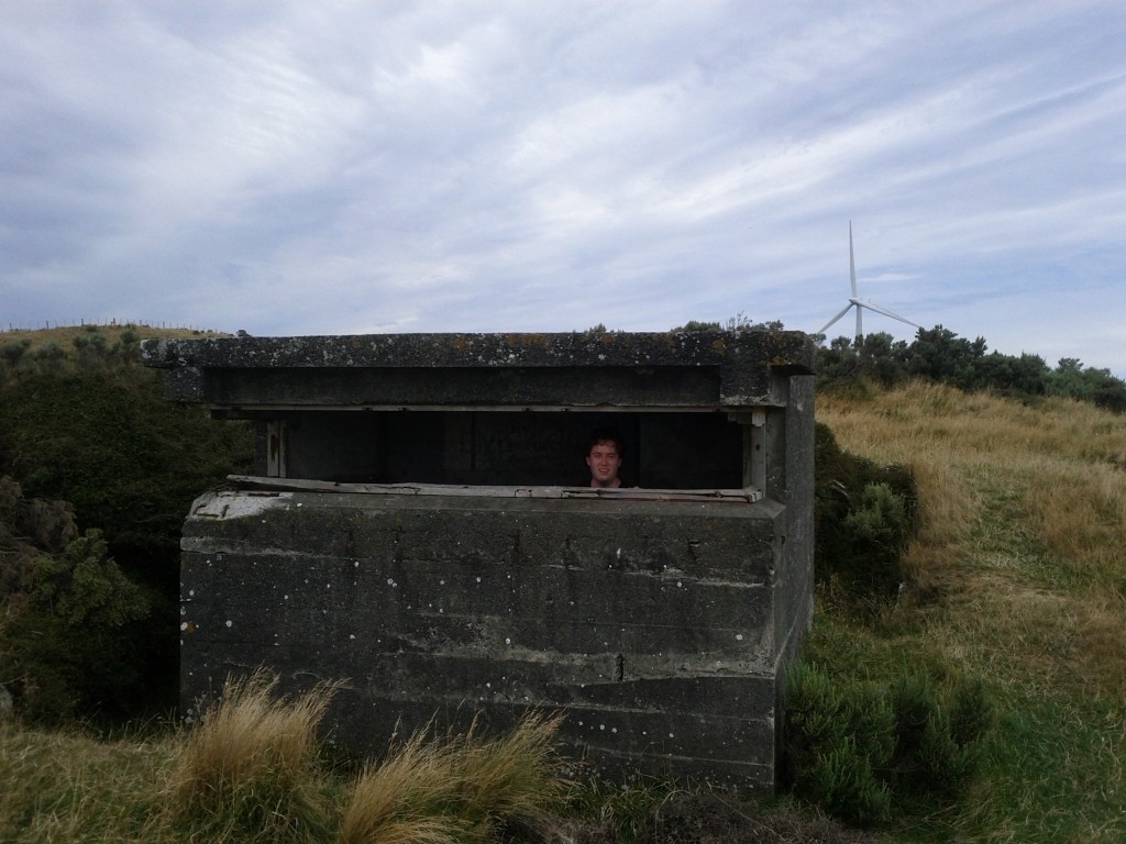
WW2 gun emplacements, sadly the guns are long gone, all that's left are decaying concrete structures, now fenced off due to their unstable nature.

I'm defending the windmills!

Fort Opau Gun Emplacements

Friendly sheep! (Makara Farm is spread over these hills)

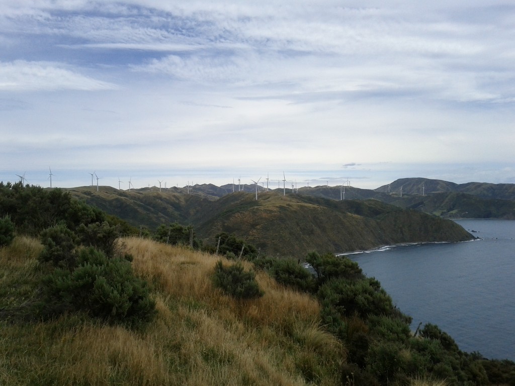
The other man-made attraction in this area is the modern Makara windfarm build in 2007-2009 and has 62 turbines producing up to 2.3MW each as Project West Wind (the budget did not extend to original project naming it seems).

I love wind turbines, they look pretty over a countryside, are a clean and effective form of generating power and combined with hydro, could allow New Zealand’s energy production to become completely sustainable.

This particular wind farm had history dating back to 1995 and a number of fights with a group known as the Makara Guardians, made up of a lot of the residents of the area to fight the turbine installation.

This particular selfishness of groups like Makara Guardians really gets to me, New Zealand needs energy and clean renewable sources such as wind and hydro are the best way for us to get them, yet they’re opposed thanks to the “not in our backyard” mentality and quoting invalid pseudoscience to try and justify their arrogance. Would they prefer a coal plant in Makara? Or no power?

Thankfully the environment court ruled in favor of allowing the project to go forwards so the farm was built and from what I see, with minimal impact to the landscape and environment – the sites of each turbine are tidy and minimal and without unpleasant overhead wires between each turbine.

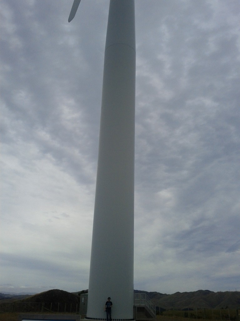
They are also amazingly quiet, it was a light breezy day day, but we couldn’t hear anything until right up close to them and even then they were still far quieter than on-street car noise or other city sounds.

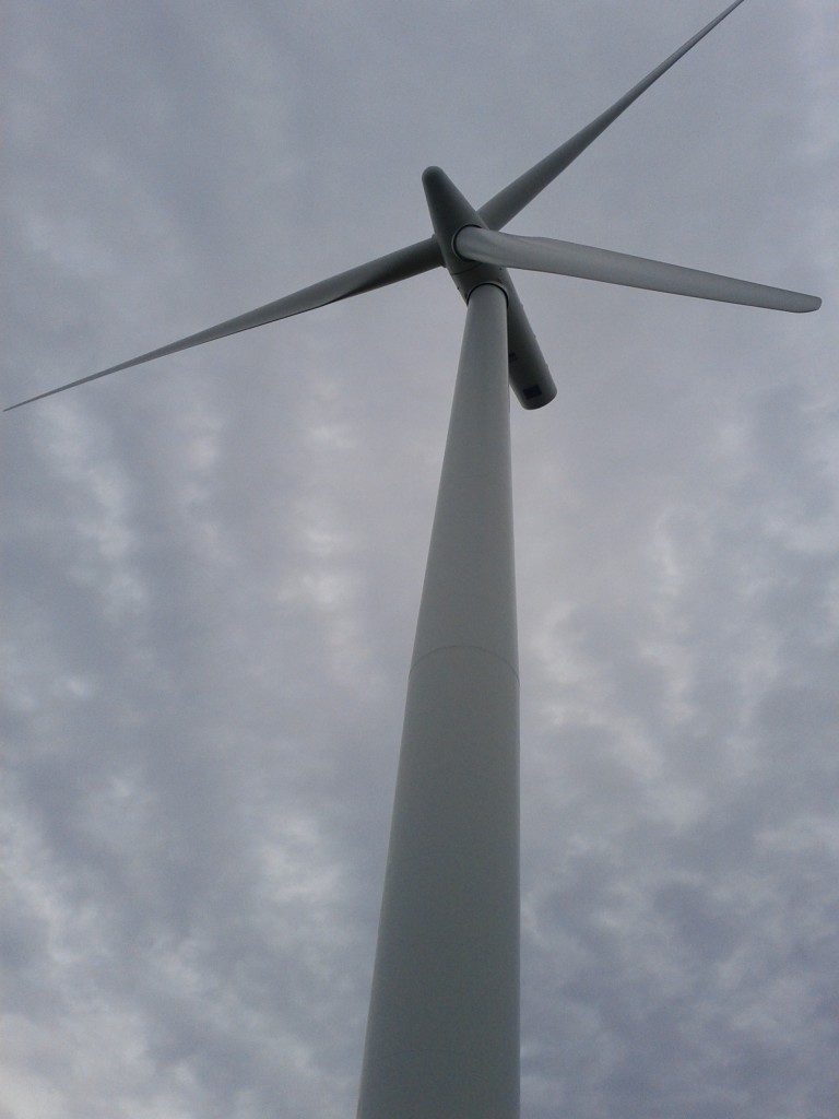
Pretty wind turbines!

These things are big!

REALLY BIG!

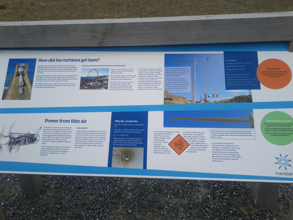
No geek could resist a functional diagram and pictures of construction! :-D

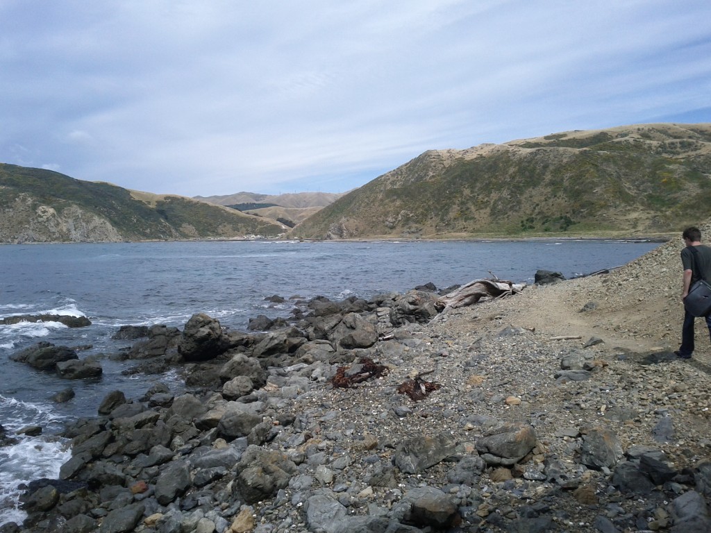
After geeking out at Turbines, we headed down to Ohau Bay and then along the coastline all the way back to Makara.

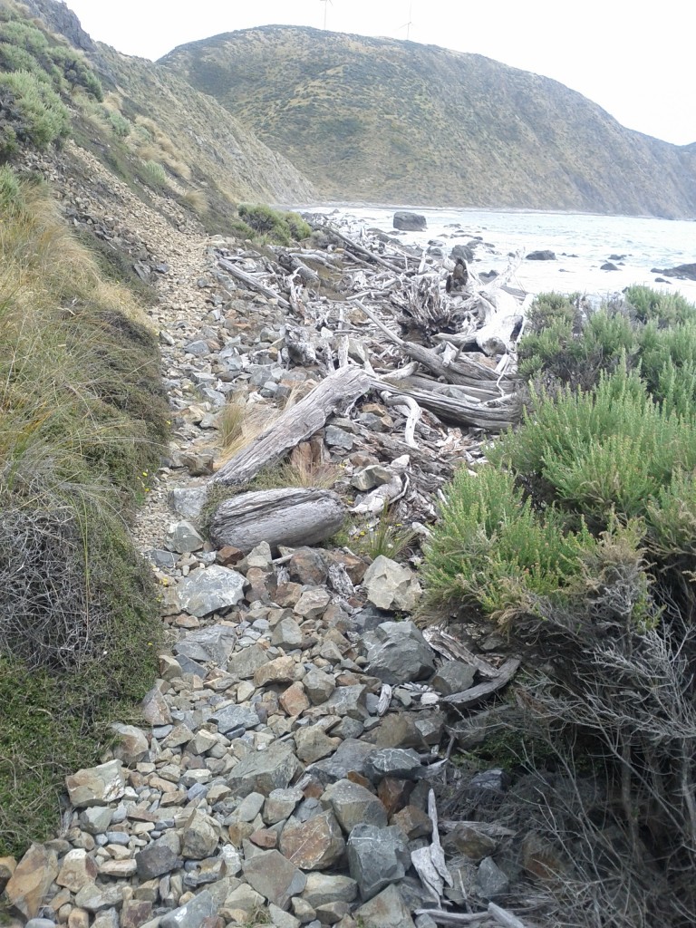
I will note that whilst the map earlier showed this as a path, it’s really not…. once on the beach, there’s a very minimal pathway that’s mostly covered by rubble from the hills or driftwood from the beach, and in a few places actually runs out entirely and the “path” ends up being climbing over rocks whilst the waves crash around you. I have no idea what happens at high tide, it might not be possible to cross some areas at all.

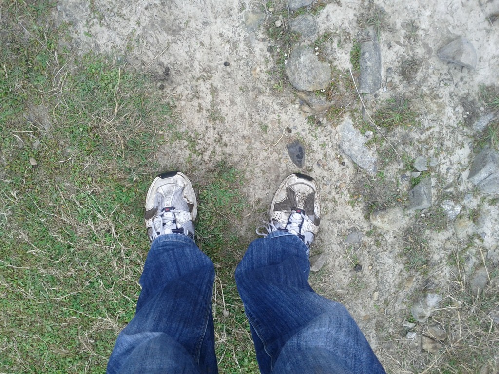
Whilst I got away with sneakers, it was really a case of barely… I’d highly recommend getting some decent walking/tramping boots if attempting this walk, particularly if there’s a chance that the weather might not be the greatest.

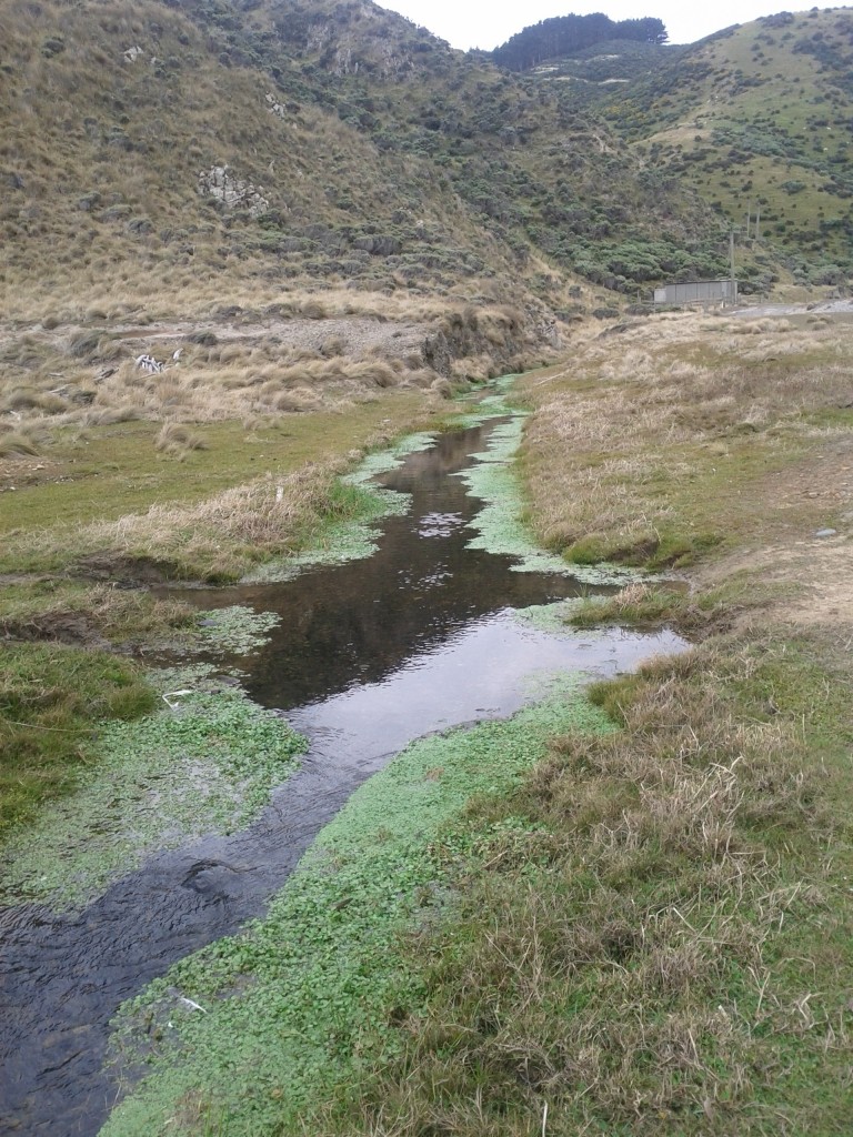
Swampy area

Of course, I walked right though it. :-/

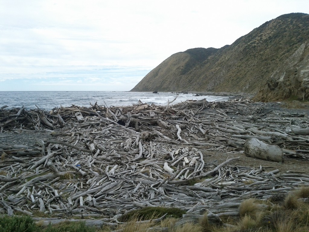
Yo dawg, we heard you liked driftwood, so we put some driftwood on your driftwood!

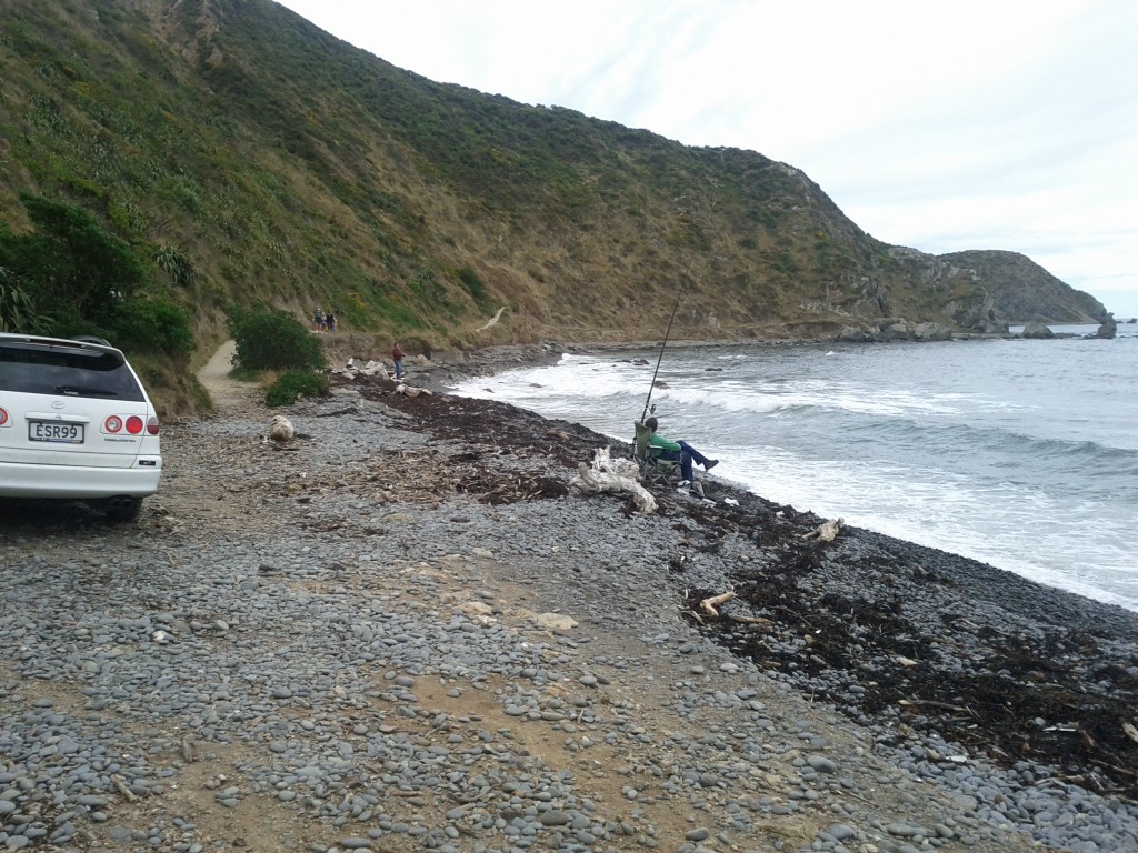
The coastline "path" :-/

Pretty in a bleak way.

Apparently this counts as a "path" :-/

Wouldn't want to be out here during a storm....

Home stretch!

Over all it was a great trip and certainly a bit more challenging walk than the usual well paved ones found around Wellington. It’s pretty exposed so you want some good weather, but if it’s a bit overcast it helps since there’s little shelter from the sun.