Tag Archives: ferry

Pictures from the Sydney waterfront

This post is a collection of various pictures from around Sydney Harbour that I’ve been collecting as I’ve been here.In my opinion, the waterfront is the best feature of Sydney –  the city isn’t wildly exciting to me, it’s a somewhat generic large city, however the waterfront adds some uniqueness and difference to it and there’s always something different taking place on the water.

Sydney CBD and bridge in the hazy distance.

Sydney CBD and bridge in the hazy distance.

A water ferry cruises through Darling Harbour, near the maritime museum.

A water ferry cruises through Darling Harbour, near the maritime museum.

View out from Pyrmont towards the Harbour Bridge.

View out from Pyrmont towards the Harbour Bridge.

They put everything on barges here... I've seen party barges, crane barges, cement mixer barges even a soccer field barge (!!).

They put everything on barges here… I’ve seen party barges, crane barges, cement mixer barges, a soccer field barge and even a barge full of strippers and sleazy bankers. :-/

Sydney's military port - I really want to find out what they use that massively bulky crane to lift - tanks maybe?

Royal Australian Navy’s primary dock – I really want to find out what they use that massively bulky crane to lift – tanks maybe?

One of the smaller ferries comes in to dock at Circular Quay.

One of the smaller ferries comes in to dock at Circular Quay.

Pulling away from Circular Quay on the Manly Ferry

Pulling away from Circular Quay on the Manly Ferry

All hail duck kind!

Bow before Lord Carr and his mighty duck army!

Mysterious discharge from a mysterious pipe slung under a pier.

Mysterious discharge from a mysterious pipe slung under a pier.

Looking out towards Pyrmont as the sun sets.

Looking out towards Pyrmont as the sun sets.

Sydney CBD to Manly

Since living in Sydney, I’ve been out to Manly a couple times, including for a walk around the North Head trails which showcase some of Australia’s military history and fortifications.

Manly has a lot going for it, offering great beaches, walking trails and a strong ecosystem of different shops and food venues. And with easy access from Circular Quay via a scenic 30minute ferry ride, it’s a great day outing for me, especially since Circular Quay is only a 20min walk from my flat.

One thing I have noticed on my ferry trips out to Manly, is that there’s a lot of scenic bush and bays all along the North Sydney coast time from the Sydney Harbour Bridge right out to Manly. I therefore decided to make Sydney CBD to Manly my next walking adventure in Sydney.

Of course, those readers familiar with Sydney will say – “but Jethro, that’s nuts, Manly is miles away!”.  Well dear reader, I can confirm for you – Manly is a painstaking 30.04km pain-inducing death-march from Sydney CBD, and I even have the GPS trail for you to follow if you wish to re-create this pain in your own life. :-)


View Walk from Sydney CBD to Spit Point Bridge in a larger map

It’s an extremely interesting walk, along the way you pass through opulent suburbs, the back of Sydney Zoo, numerous coves and beaches, a number of hills, bush, WW2 fortifications and two major bridges.

Please excuse the line breakage on the map – Google Track didn’t handle some GPS plot absences particular well, I’ve touched up as best as I can, but couldn’t figure out a way to connect segmented lines. There’s also the period from Spit Point Bridge to Manly itself where my phone battery died, so I’ve drawn in the lines to a mostly-accurate level, but it messes with the total distance stats reported and leaves some weird graphic artefacts.

It’s best viewed in the full Google Maps interface – I’ve tagged certain areas of interest, it’s also worth noting the location of Ferry docks, since there’s a number of good attractions that you may wish to ferry out directly to go and see.

I took a few photos along the way – the trip is very scenic, I really need to go back with a DSLR as I came across heaps of different things I would have loved to capture in a better level of quality.

Sadly Lisa didn’t want to join me on this walk for some strange reason, so you’ll have only pictures of pained geek and scenary, rather than any actual eye candy from my trip photos:

Full of optimism, I set forth from my apartment with my trust RedHat t-shirt to bring geek culture to the bush.

Full of optimism, I set forth from my apartment with my trust RedHat t-shirt to bring geek culture to the bush.

The first stage of the walk is through Sydney CBD and over the Sydney Harbour Bridge – I have plenty of photos from a previous walk across if you’re interested. The bridge is always an interesting stroll and only takes a couple minutes offering amazing views the whole time.

Once off the bridge in Milsons Point, the walk took me through the suburbs and coves directly around North Sydney. The area is certainly wealthy, but there’s odd pockets of housing or apartments that appear otherwise.

The whole route is littered with small coves and marinas like this one.

The whole route is littered with small coves and marinas like this one.

Looking out back towards Sydney

Looking out back towards Sydney

Amusingly odd to have man made items pushing their way through the path, rather than tree roots.

Amusingly odd to have man made items pushing their way through the path, rather than tree roots.

The walk through these suburbs is nice enough, but the real gold starts once the beach and coastline tracks start, these offer a much desired escape from the city noise and people and some amazing views of the harbour and Sydney itself.

City looks pretty far away already!

City looks pretty far away already!

The walkways that have been installed behind the Sydney Zoo are particularly good, these paths are well formed and often form wooden stairs and walkways for a good few KM of coastline.

Walking out behind Sydney Zoo towards the ferry dock.

Walking out behind Sydney Zoo towards the ferry dock.

Thankfully the day was overcast and only low 20s, otherwise I'd be looking a lot worse for wear.

Thankfully the day was overcast and only low 20s, otherwise I’d be looking a lot worse for wear.

A number of trees along the route with this weird base hollowing.

A number of trees along the route with this weird base hollowing.

Also a number of trees with this weird growth on them - seems to be too many for them to be beehives

Also a number of trees with this weird growth on them – seems to be too many for them to be beehives… dropbear nests?

Weird bark stripped trees - came around many of these, the trees have all their bark stripped off and lying around them - unsure as to why.

Weird bark stripped trees – came around many of these, the trees have all their bark stripped off and lying around them – unsure as to why.

Halfway between the Sydney Zoo and Chowder Bay where the well built Zoo trail ends, there’s Bradley Head, an area of parkland with a small lighthouse and the distinctive tripod mast from the original HMAS Sydney WW1 era ship.

Mast from the HMAS Sydney (1912) WW1 era ship at Bradley's Head.

Mast from the HMAS Sydney (1912) WW1 era ship at Bradley’s Head.

Following the coast around from Bradley’s Head and through Chowder Bay, leads to Middle Head, home of the Middle Head Fortifications that guarded Sydney Harbour. With direct line of sight to any ships attempting to pass through Sydney Harbour, it offered an ideal defensive location, featuring both cannon and disappearing guns – similar to the ones in Devonport NZ, however there’s no longer any guns located at Middle Head.

View out from Middle Head towards Sydney Heads, the entrance to Sydney Harbour.

View out from Middle Head towards Sydney Heads, the entrance to Sydney Harbour.

10 points if you spot the balloon tagged body.

Old fortifications: everyone loves lying around in them with a balloon tied to their body.

Unsure if this was a half-assed demolition job, or whether the building broke apart over the years.

Unsure if this was a half-assed demolition job, or whether the building broke apart over the years.

Exercised geek - at this point I was still feeling pretty good.

Geek, with exercise add-on. At this stage I was feeling a little tired, but still needed to head down to Hunters Bay, and then back up a big hill before I could then go down across Spit Point Bridge.

There’s quite a bit of stuff to explore out at Middle Head, it’s something that I’ll have to make another visit to in future to properly explore – there’s no quick ferry route to Middle Head, closest terminals appear to be either the zoo dock, which will require a few more KM of (pleasant) walking.

Walking down towards Spit Point Bridge. Just about every cove I see has a marina situated in it, must be almost as many boats as cars in Sydney.

Walking down towards Spit Bridge. Just about every cove I see has a marina situated in it, must be almost as many boats as cars in Sydney.

The walk along Spit Rd to the Spit Bridge isn’t particularly great, as it’s a main road (2x 2-lanes roads) the way down, so this section of walk has all the charms of walking alongside a motorway, however it’s the only way across (short of swimming).

Spit Point Bridge! I just managed to run across as the lights were flashing before it started lifting.

Spit Point Bridge! I just managed to run across as the lights were flashing before it started lifting.

I fucking love bridges!

I fucking love bridges!

Around this time my phone decided it didn’t want to handle more than 4 hours doing GPS track plotting and died, so the remainder of my walk to Manly has been drawn in manually on the Google Map above.

There is a coastal route the whole way from Spit Point Bridge to Manly, at about 10km. Having already done 22km by this stage and it getting late, I decided to cut back across some of the suburbs, rather than finding my way though the unfamiliar suburbs and do a shorter 7km trip.

In hindsight I should have continued up Spit Rd and onto Sydney Rd, taking the coast path part of the way made the walk back up to join Sydney Rd longer and harder than it needed to be.

Pain, oh god the pain.

Pain, oh god the pain. In some ways it was good that my phone died, so that pictures of me looking even worse couldn’t be taken.

I’m keen to do the proper Spit Bridge to Manly walk, so maybe I’ll make that segment a separate trip one day, or if I’m ever crazy enough, re-try the walk starting from Manly and walking back to the city.

I eventually made it into Manly, rapidly devouring an iced bun (mmm delicious 2000+ kJ energy) and a coke, the champion feed of any athlete (I was out of muesli bars ok!!) and got the ferry back to Circular Quay.

Being able to sit at the stern of the ferry and see all the coves I had walked around during the 30mins ferry journey back was actually incredibly relaxing, certainly a good ending to the trip. The only problem is that the half hour break in walking meant that my body started cooling down and it was not pleasant getting moving once back at Circular Quay.

I managed to strain one of my ankles slightly - the rest of me hurts like crazy, but in the usual exercise way, so it should come right in the next couple of days.

I managed to strain one of my ankles slightly – the rest of me hurts like crazy, but in the usual exercise way, so it should come right in the next couple of days.

General stats from the trip – I averaged 5.21km/h walking speed – my actual walking speed is more around 5.9km/h, I suspect time spent looking at sights and suburban traffic lights messed with those stats somewhat.

The total distance was 30.5km (some GPS measurement inaccuracies in that of course) – if I was able to keep that rate up daily, I would be able to walk from Wellington to Auckland in one month (of course reality is that there is a lot more time needed for breaks, detors, difficult terrain, etc).

I’d certainly recommend parts of this walk to anyone interested – however you have to be fucking nuts to do the whole thing like I did – I’m still hobbling around my apartment like an old man in pain.

Takapuna to Devonport

Working from home for the past 7+ months has left me with strong urges to get out and about on the weekends, least I go crazy from being coped up inside – whilst my inner geek urges to sit infront of my laptop and code are strong, getting outside for a walk, seeing new places and new people always puts me in a better mind set for when I get home to do a large coding session in the evening afterwards. ;-)

The last two weekends I’ve done the Takapuna to Devonport (Green Route) walk, a pathway I discovered purely by chance whilst walking to Devonport along the main road route due to an entrance onto a park just at the start of the memorial WW2 tree-lined road half-way in my journey.

It takes you through a number of parks that I didn’t even know existed, over the marsh lands and through some of the older streets towards Devonport with characteristic turn of the century houses (Devonport being established as a suburb around 1840 and one of Auckland’s older suburbs).

There’s a handy map you can download from the council here and the whole route is walk & cycle safe. It’s certainly the better route to take, the road route between Takapuna and Devonport should be avoided at all costs, considering it’s always congested and overloaded with traffic, as there is only one road route from Devonport all the way up to Takapuna in order to get onto the motorway.

Having made the mistake of trying to drive to Devonport once before, I’d avoid it at all costs, you’d get from Devonport to Takapuna faster by taking the ferry to Britomart and bus from there IMHO, nose-to-tail traffic the whole way on a Sunday evening isn’t that fun, not to mention a nightmare finding car parking in Devonport itself.

Traffic backed up from the Esmond Rd - Lake Rd junction. It's like this for a good suburb or two, even on weekends. :-/

The sane way for non-car loving Aucklanders to get around.

The route signage is pretty good, although I found that whilst Devonport-to-Takapuna was almost perfect in directional signage, the Takapuna-to-Devonport approach has a few bits that are a little confusing if you hadn’t done it the other way first.

There’s also a complete nightmare in terms of cycle vs pedestrian marking, something that the North Shore City Council loves doing, such as alternating conventions of left vs right side for cyclists – something I’ll cover in a future post. :-/

The route doesn’t seem particularly busy, most of the activity I saw was with people in the various parks the route crosses through, rather than others completing the same route as me – I expect the length detours them a bit (took me around 1.5hrs).

Starting from Takapuna/Esmond road, the route is firstly though the newer suburbs of Takapuna, with a weird suburban/industrial mix of some lovely power pylons running along the street.

Ah, the serenity! :-D

TBH, Takapuna suburbs bore me senseless, they’re a giant collection of 1970s-2012 housing projects, very American-dream type feel at times. Thankfully one soon escapes to the parks and walkways along the marshy coast.

Marshy land, Auckland Harbour bridge in the distance.

One of several boardwalks so you won't get your feet/wheels muddy - unless you want to. :-)

Long bridge is long! (kind of reminds me of Crash Bandicot's Road to Nowhere). If the ground is dry, you could brave cycling alongside it through the marsh, few tracks suggesting this is somewhat popular.

The route slowly starts getting more parks and greenery, with small intermissions of going back along suburb streets, before rejoining more natural routes.

Got a skateboard? And a hoodie? This is the place for you to hang in this otherwise quite empty grassy field called a park.

/home/devonport_residents/.Trash/ (that's a recycling bin joke for you windows users!)

Once you come out of the park, you end up walking through a few blocks of Devonport’s residential area, before coming out onto the main street and along to the shopping and cafe area.

An old church, where Aucklanders worship their god "Automobile".

I quite like Devonport, it has a good number of cafes, bars, the waterfront, classic architecture (not bland corporate crap like Takapuna) and generally has charm.

If I was going to live in Auckland long term, I’d seriously consider Devonport as a good place to have house, I’d even consider not bothering with a car, depending on the availability of a good close supermarket.

Of course this assumes working in the CBD or from home, so you can just take the ferry into the CBD, rather than needing to mess around with commuting up to the motorway and into the city everyday. If a car-based commute is vital, you might want to do Devonport a favor and go live in a less classy suburb with closer motorway access.

Knitted handrails! This place has style!

Vertical water accelerator.

I stopped for a coffee at one of the several cafes around the main street with an outside area and was pleasantly surprised for a change – I didn’t even see a Starbucks there!

The local residential population appears to have a lot of members of the baby boomer generation and either residential or visiting families attracted to the parks and waterfront.

As I was there, I decided to make the short climb up Mt Victoria (*curses settlers who named about 50 million places in NZ Mt Victoria*) and get a good look out over the area. In typical Auckland fashion, it is entirely possible to drive right up to the top, or take a segway tour, but despite the name it’s really just a medium sized hill, nothing compared to Wellington stuff.

Looking out towards Okahu & Mission Bay. Start to get an idea why Auckland is the "City of Sails".

Our old friend Rangitoto island again. Incidentally, Mt Victoria itself is also a volcano, just not anywhere nearly as large.

Looking out over houses towards North Head,

Auckland CBD

Panorama out towards Rangitoto

Panorama showing Auckland CBD on left, Devonport centre and Takapuna in the horizon on the right.

I didn’t know anything about it other than it was a big hill, so damn I was going to climb and conquer that, but it turns out it was part of Auckland’s early military history with a large disappearing gun (BL 8 inch Mk VII naval gun) which was installed in 1899, well before WW2 – seems NZ has a number of good examples of these interesting pre-WW1 weapons.

The magical disappearing cannon!

Fuck being the poor suckers who had to lug this all the way up the hill. :-/

Mushroom vents hint to a large underground complex - sadly closed to the public.

One thing I missed is the other large hill in the area – North Head – which offers a much larger selection of 1800’s – WW2 relics including tunnels and additional guns which are open to the public.

Devonport has had a long military history and is where the main naval base of New Zealand, dating back to 1841, usually has a couple ships berthed to look at – or sometimes coming/going offering some neat photo opportunities.

I tend to find that Auckland really hides it’s interesting stuff, I lived in Takapuna for months before I discovered the existence of many of these interesting walkways and sights, in many cases they just aren’t advertised and from a distance, you don’t get an idea of how interesting some of these places can be. (Mt Victoria and North Head look just like plain hills with some sheds on them from sea level).

That’s why I love exploring on foot, find so many gems, look them up online, find another 5 related ones to go and check out. :-) And don’t be afraid to take random interesting looking paths to see where they lead, it’s how I find many places – including many of Wellington’s paths and walkways.


After the trip up Mt Victoria, I wandered back down and along the waterfront – turns out it’s a fantastic place to get close up shots of any large ships passing by.

Rena-sized cargo ship, gives an idea how massively large these things are when seeing up close. See the little speedboat to the right for an idea of the size difference. :-D

I ended up heading to the ferry terminal to get the ferry over to Britomart to catch up with friends, only took less than 15mins to board and cross over the harbor for $6. (frequent traveler discounts available).

This is Fuller Ferry, requesting Devenport wharf command center to lower defence grid for safe docking.

Cruising in to the Britomart ferry terminal, past the Rugby Word Cup "Cloud" event center.

Finally wrapped up the day with a delicious coffee and snack at my much loved Shakey Isles before they closed (closing time is 17:00 on weekends FYI).

Om nom nom (totally not addicted to chocolate)

If you don’t live in Takapuna and want to reproduce this walk, I’d recommend taking the Northern Express (NEX) bus to Akoranga Station, or the normal Takapuna buses to the shopping center, doing the walk to Devonport and then ferry back into Britomart.

It’s an easy day trip and could be as short as 3-4 hrs or as long as an entire day depending what sights and coffee you decide to partake in whilst at Devonport.

The other approach is to do Takapuna – Devonport & return, something that might appeal particularly if wanting to do it by bike rather than foot, there’s a bit more parking around Takapuna, particular Fred Thomas drive area near Akaranga Station to drive to with your bikes.

Rangitoto Island Adventures

Due to excessive homesickness for Wellington’s hills lately, I decided that it would be nice to visit the next best thing and go climb the local volcano –  Rangitoto Island.

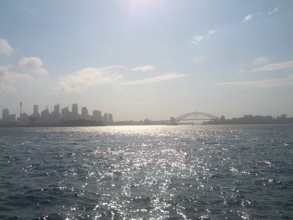
Approaching Rangitoto from Auckland CBD via ferry

Rangitoto makes up part of the Auckland Volcanic Field, erupting less than 600 years ago. and is clearly visible from Takapuna Beach, Mission Bay and various other locations.

This field is now considered dormant, but based on the size of Rangitoto, if any of the volcano in this field ever became active again, I’d be getting out of here as fast as I possibly can. (Although all Aucklanders would perish stuck in traffic trying to get out, so I’d probably use the precious moments left to hug my Linux server and tell it how much it means to me instead.)

Rangitoto is a particular interesting trip, not just because it’s a big volcano slapped alongside NZ’s largest city, but also for it’s impressive view, many walking trails, interesting human history (Maori, WW2, 20th century) and the fact that you can get extra walks and value by also visiting the neighboring island Motautapu which is connected and walkable.

I did only a day trip, but I’m seriously considering a several-days trip out to walk more of the island trails and to camp overnight in the designated camping grounds on Motautapu.

To get there, Fullers run a regular ferry service from Britomart & Devonport out to Rangitoto with several trips a day for $27 return, or $20 if you book online.

There’s a great map and guide which Fullers provides as a download or at the ticket office, if you’re planning a visit I recommend you grab it, just don’t trust the timetable 100% without checking the exact trip times for the particular day you’re visiting, as if you get it wrong, there’s no overnight accommodation and I think a private water taxi trip back to the CBD would be a bit pricey….

Sitting on the ferry, waiting to depart. Little dubious about the weather.

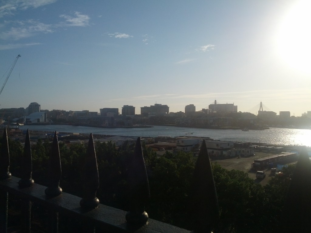
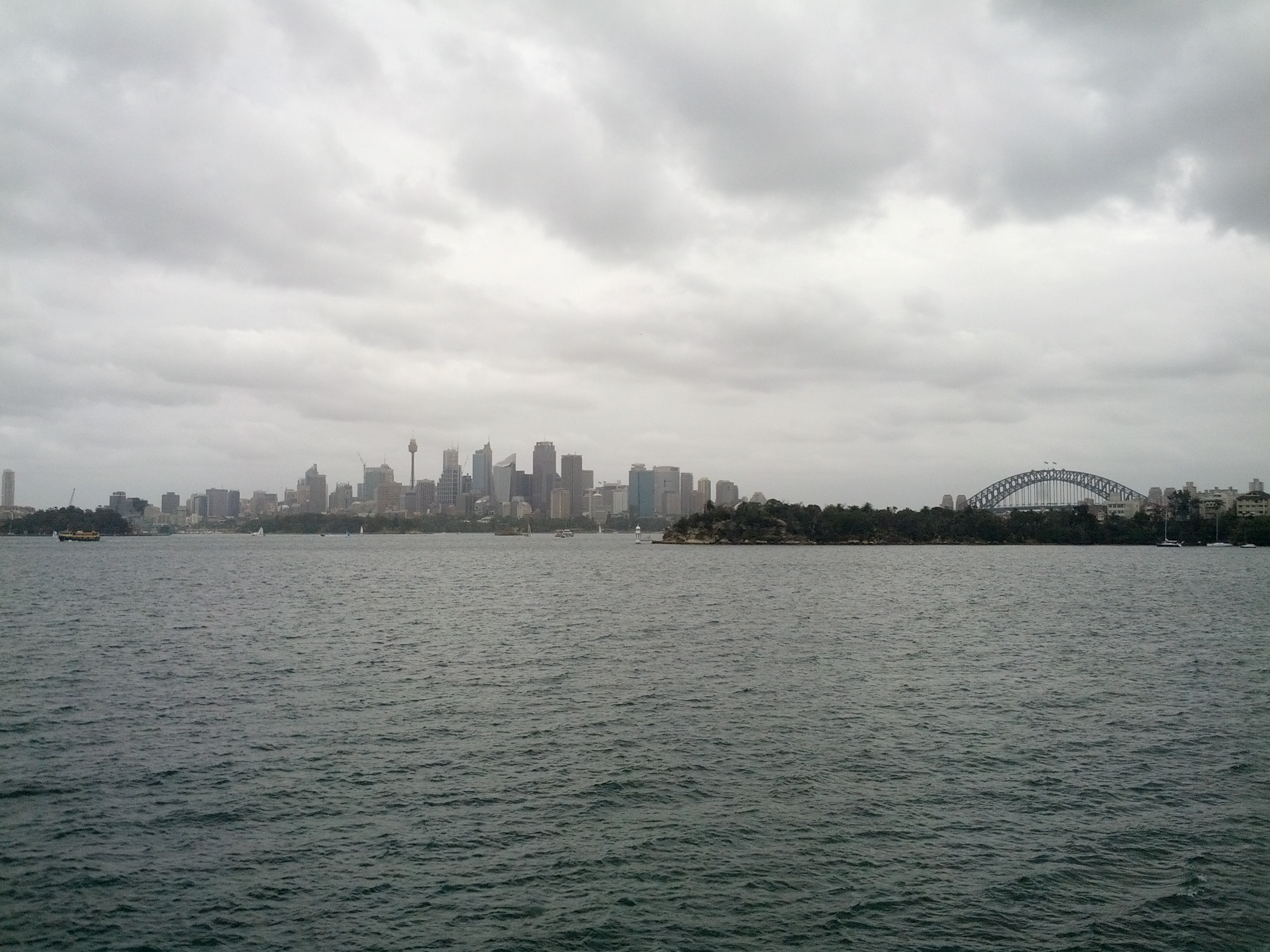
Cruising out of Auckland CBD, note the harbour bridge in the distance and the North Shore.

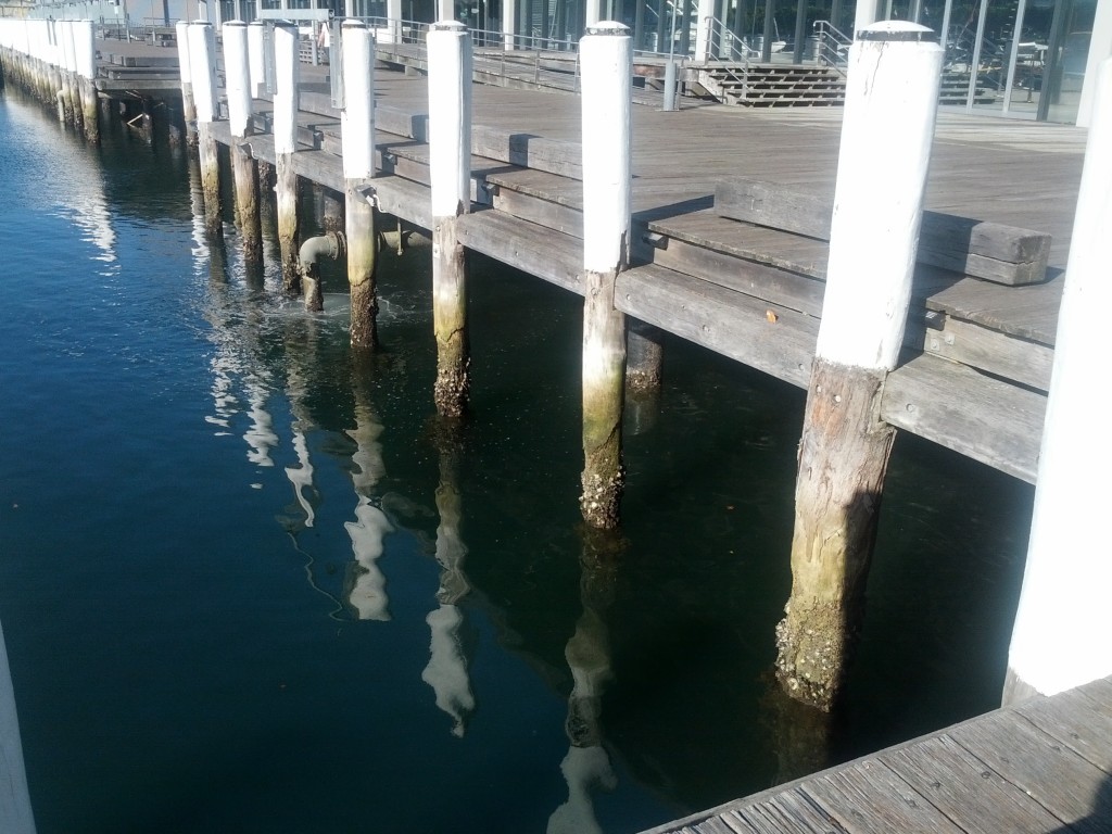
Taking the ferry from Britomart rather than Devonport offers some extra additional views of Auckland’s waterfront, including the cargo port which I didn’t manage to get pictures of sadly.

As a tip, even if you live on the North Shore, it’s often easier to bus into Auckland CBD and go from Britomart than it is from Devonport which remarkably always managed to have ridiculous amounts of suburban traffic congestion – I departed from Britomart and returned via Devonport, with the latter taking a good 30mins+ more to get home due to nose-to-tail traffic all the way to Takapuna!

Auckland CBD and cargo port.

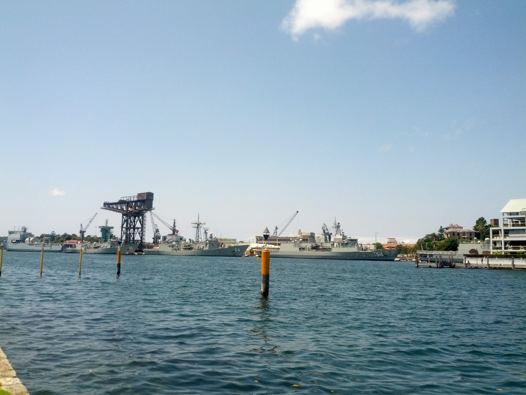
Devonport Naval Base with HMNZS Canterbury in port.

Getting a good view of the Devonport Naval Base is pretty neat and offers something that you won’t see around Wellington’s harbor quite so much – when I went past, the HMNZS Canterbury was in port, sadly not out sinking whalers.

Pulling into Devonport Wharf

The William C Daldy Steam Tug at Devonport.

The trip to Rangitoto from Britomart takes around 25-45 mins depending on stopover time at Devenport to load/unload passengers.

Coming into the wharf at Rangitoto

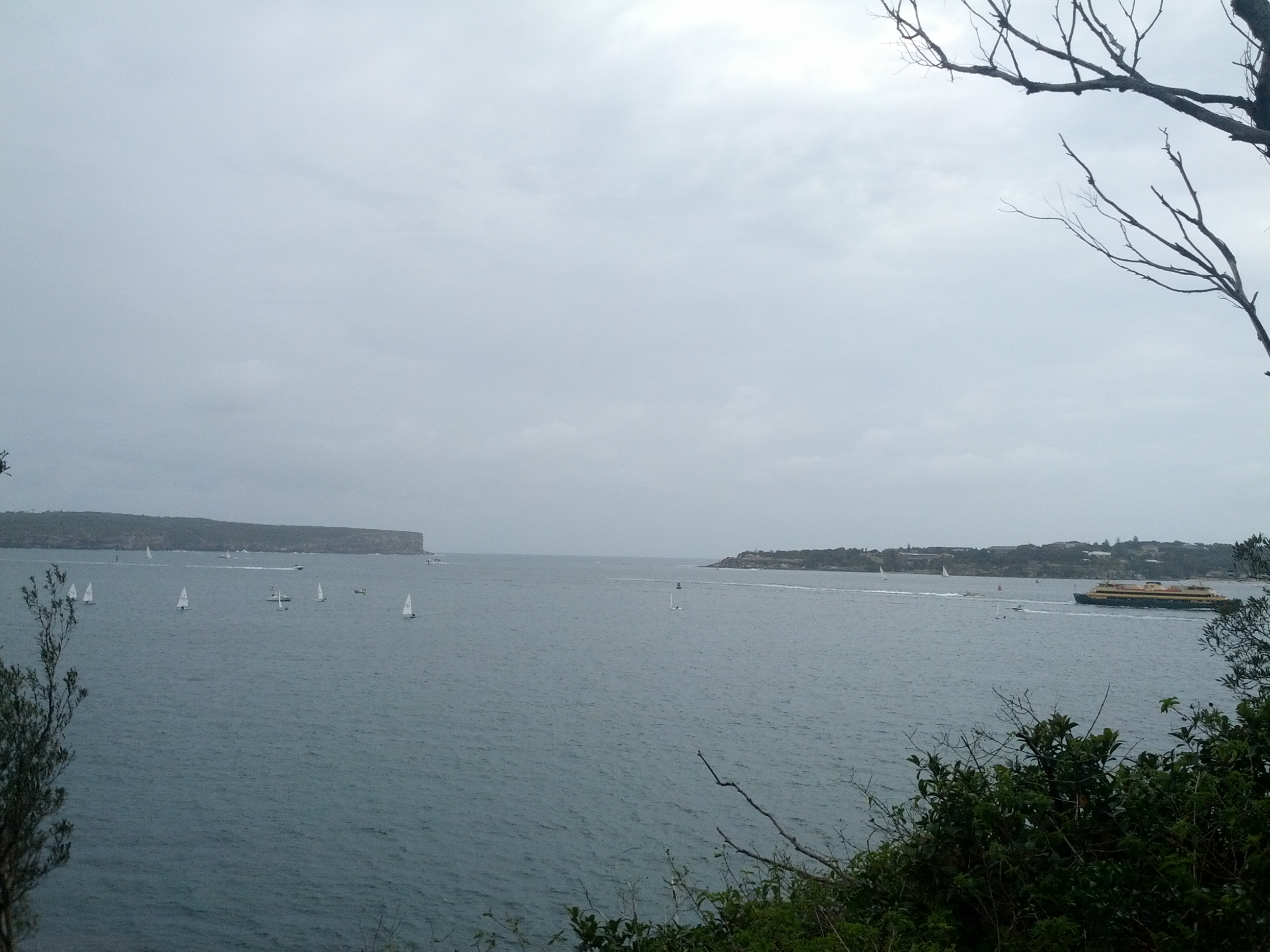
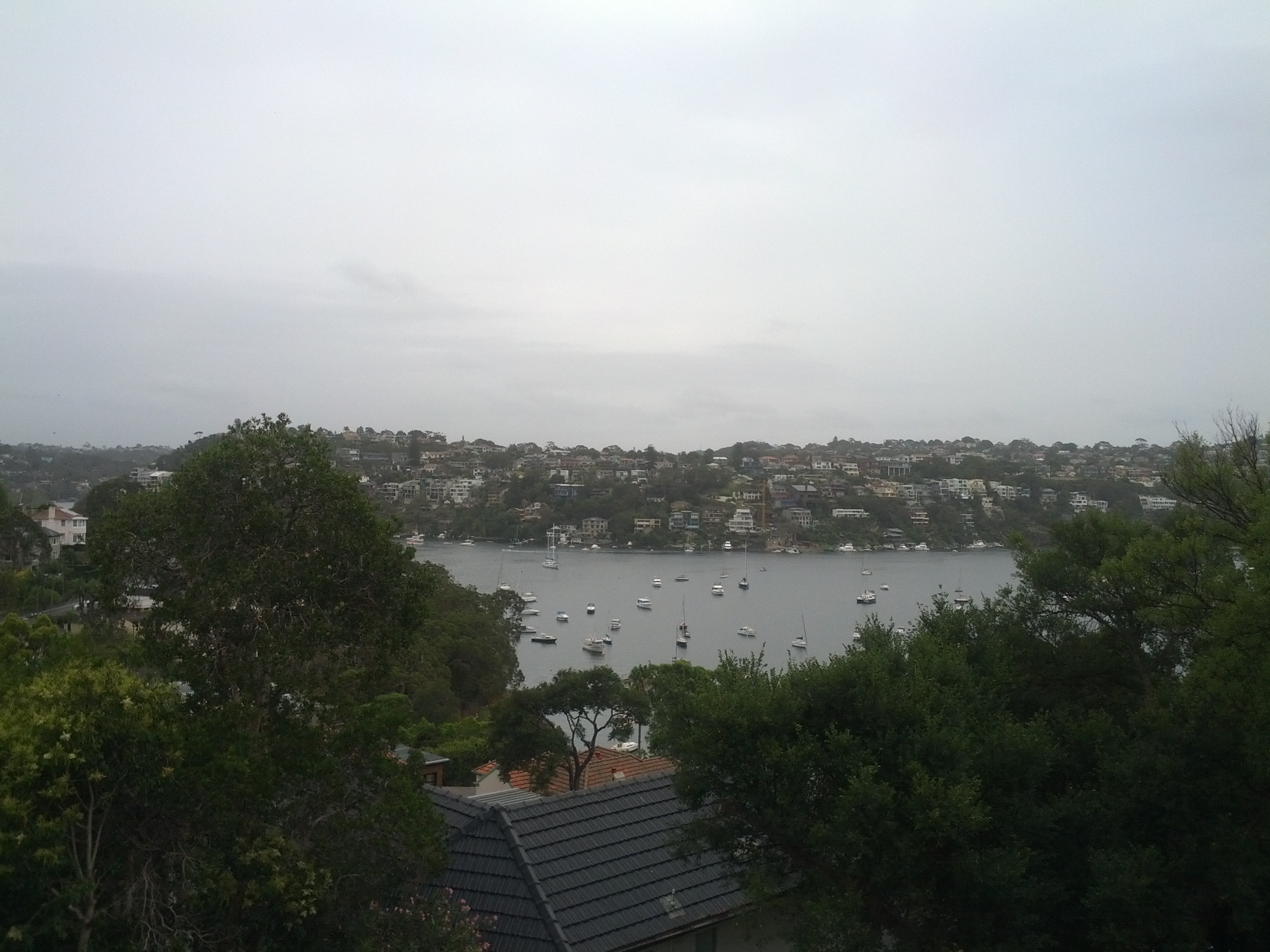
Looking out from Rangitoto towards Auckland.

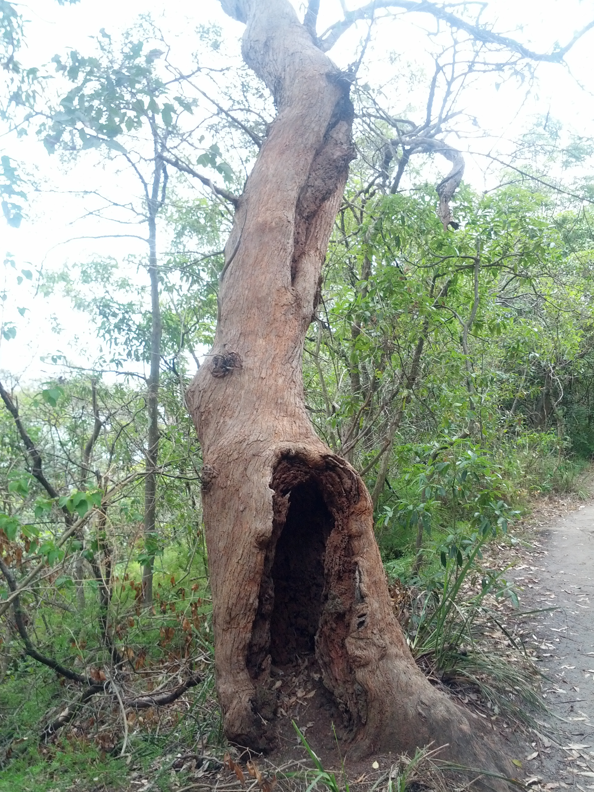
Rocks, Bush, Sea with a tint of human impact - you'll get a lot of this here.

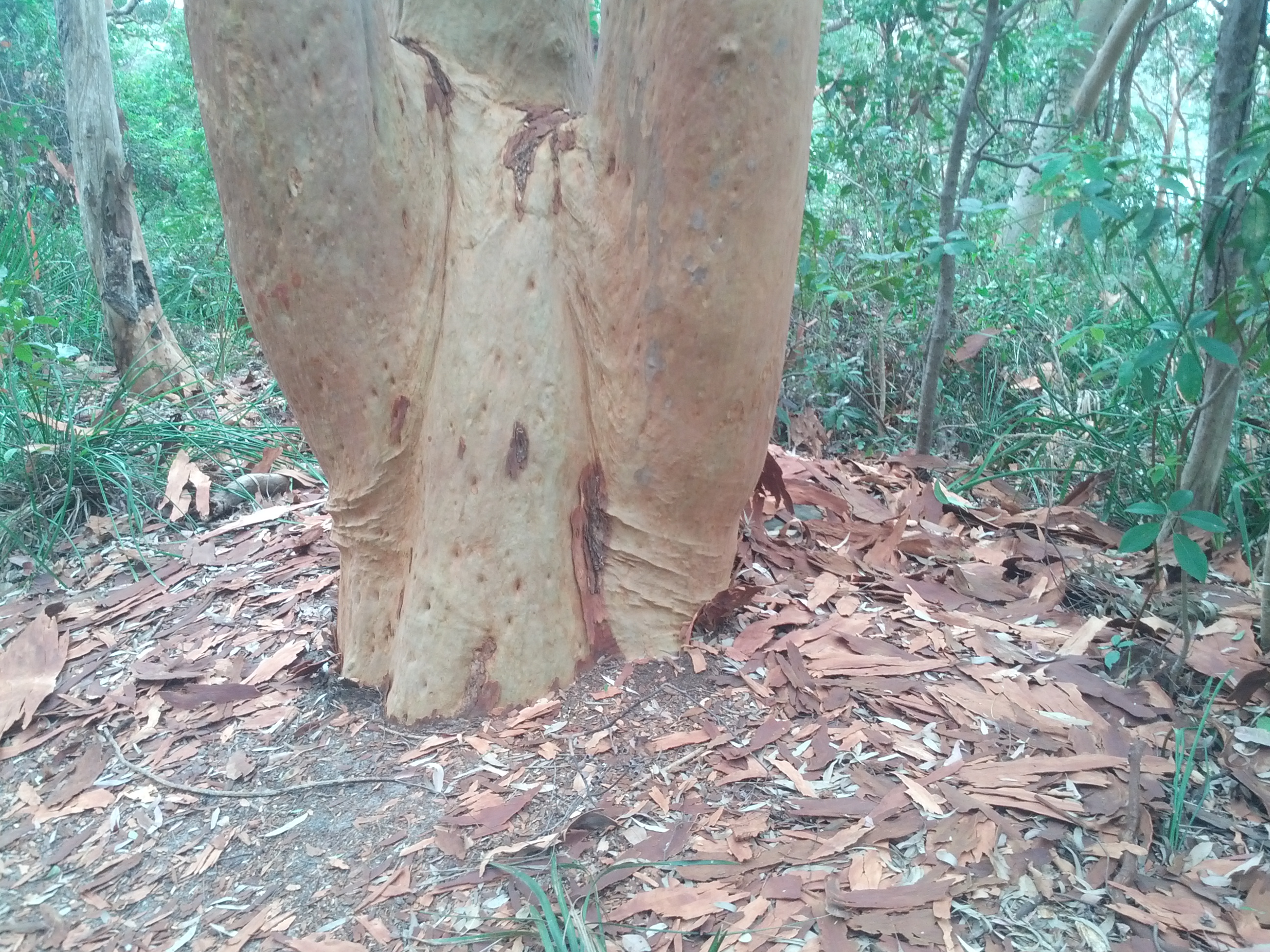
Once on Rangitoto, the most noticeable trait is the rocks. The entire island is basically one giant pile of jagged rocks (after all, it was formed by a volcano) with plants growing whether they manage to take root. Often there’s weird patches of just rock with a single plant that has managed to grow in the middle.

The rocks themselves vary from being quite porous, to denser formations formed by lava and darker rock where lava came to hit the water. If there’s any geologists reading this blog, I’m sure they can comment far more accurately than I ever could about the different formations of rock.

A Geologist's Dreamland?

Pourous volcanic rocks litter the island, interestingly I didn't come across any pumice though.

Love the red soil, it's like being in aussie! ;-)

Dense lava flows - this track leads to the lava caves formed by flowing lava leaving a crust/shell which becomes a cave.

After disembarking the ferry I took the most direct path which pretty much climbs steadily up the mountain until reaching the top lookout. It started off pretty smoothly, but quickly became steeper and had me cursing my fitness, the temperature and the fact that I had to keep pushing as I didn’t want elderly ladies to beat me up.

It is possible to do Rangitoto by road-train tour (read trailers pulled by a tractor) which seemed popular with a number of tourists, families and elderly, but if you’re young/slightly fit, you’ll miss the whole point and many of the better paths on the island by taking it.

The other popular way to get around seems to be jogging – I’m not into running myself, but even I was starting to enjoy leaping from rock to rock towards the end of my day and it’s certainly a bit of a nicer spot for a ran than some random Auckland city road.

Once at the top, the view is pretty amazing and makes all the pain getting up the hill worthwhile.

Crater at the top of the island, just incase you forgot you were ontop of a giant exploding mountain.

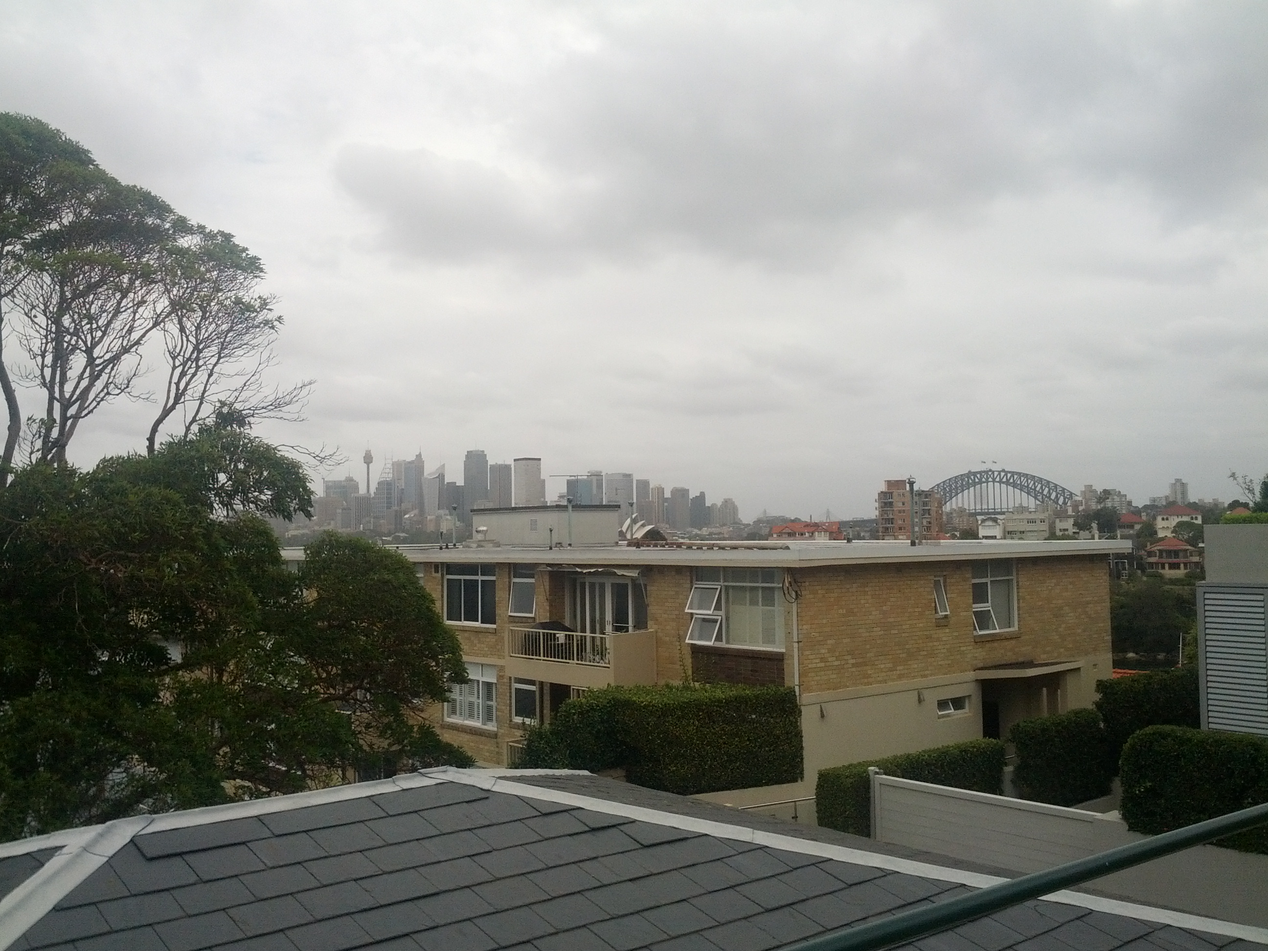
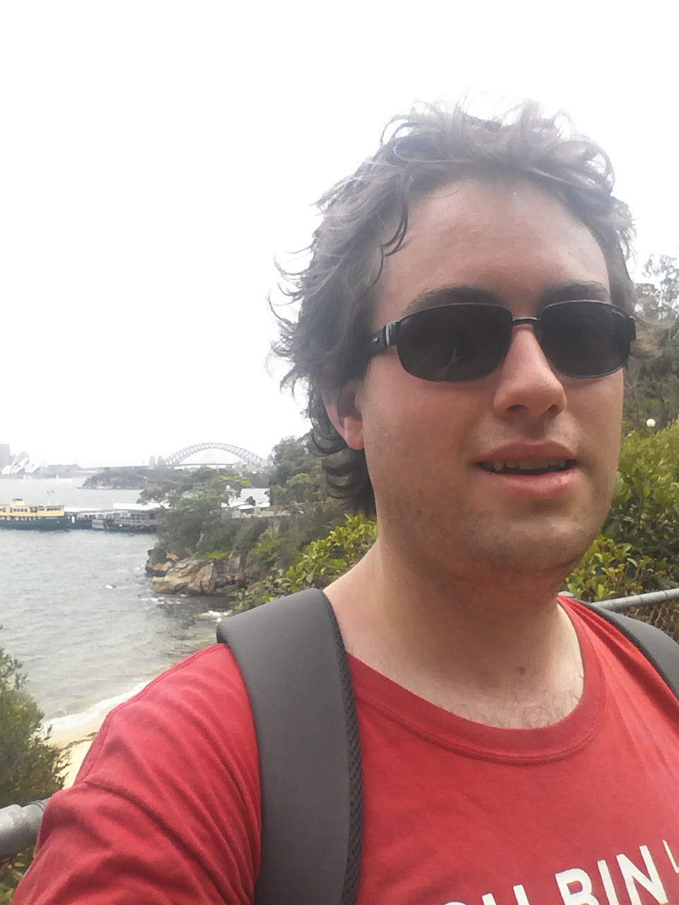
Bow before Jethro the volcano conqueror, puny Aucklanders! (Looking out at CBD and the North Shore/Devonport)

Looking North-West out over the neighboring Motutapu Island

With a view like that, I had to give the new Android/ICS/4.0 panorama feature a go, but even this doesn’t do it justice. (look ma! I’m like a real professional-photo-taking-person!) ;-)

Panorama of Auckland looking south from the top of Rangitoto.

Looking over the North Shore region and a good view of the island below.

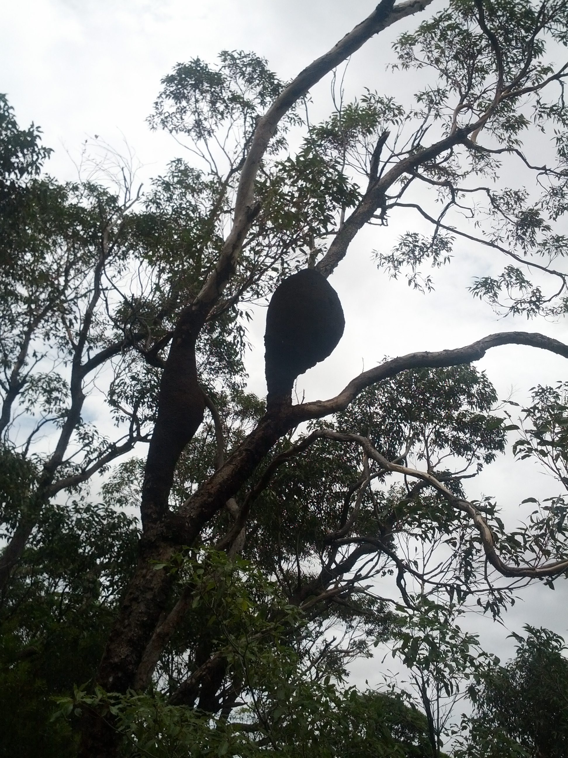
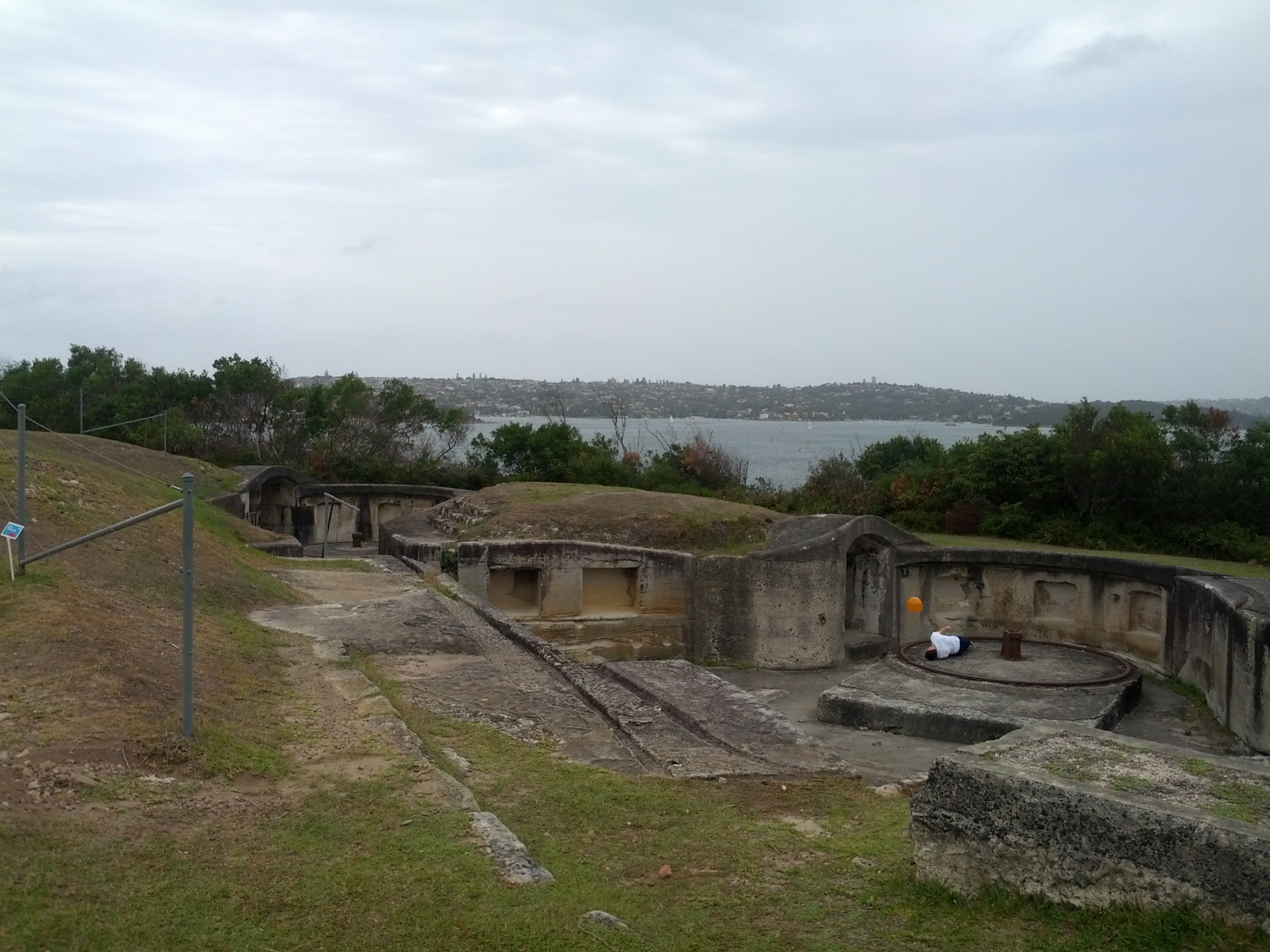
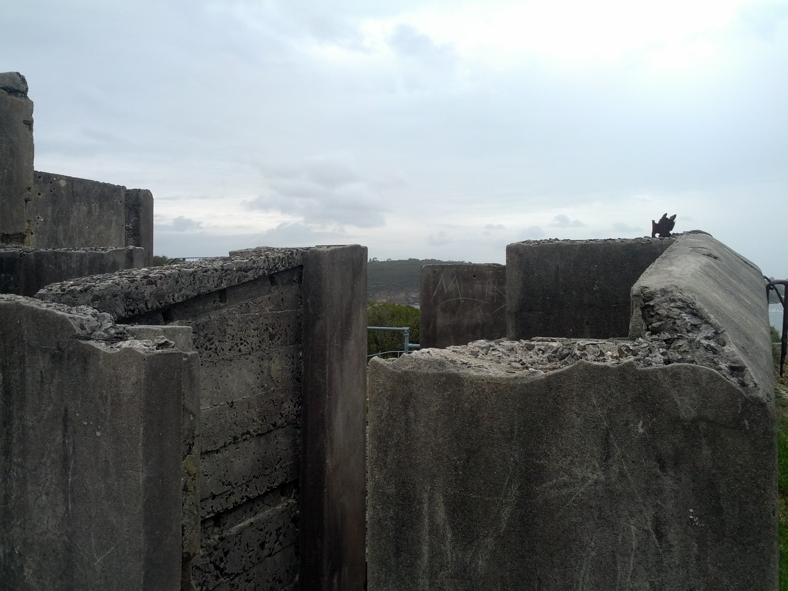
There’s a few things to look at up on the summit itself – it’s the home of an old WW2 observation post and there are a couple other ruins around as well if you do the crater loop walk track.

Does anyone actually know what these are? Summit markers?

I pity the poor suckers who had to lug this cement all the way up to build these bunkers....

The paths around the island vary a lot. There’s the typical standard dirt walking tracks, but you’ll sometimes have nice solid wooden walkways or wide rocky roads. Yet at other times, your path will be barely determinable piles of difficult to get across rocks.

What’s also extremely variable is how much the paths vary from being wide open places to being tight bush tracks, you can quickly go from one extreme to another.

I dare say my good sir, this path looks quite civilized, let us wander along and discuss our plans for high tea.

Wide open spaces - DOC workers use some of these roads with utes, if you're lucky a cute one rolls down the window and smiles at you instead of running you down. :-)

I call this path "The Ankle Breaker"

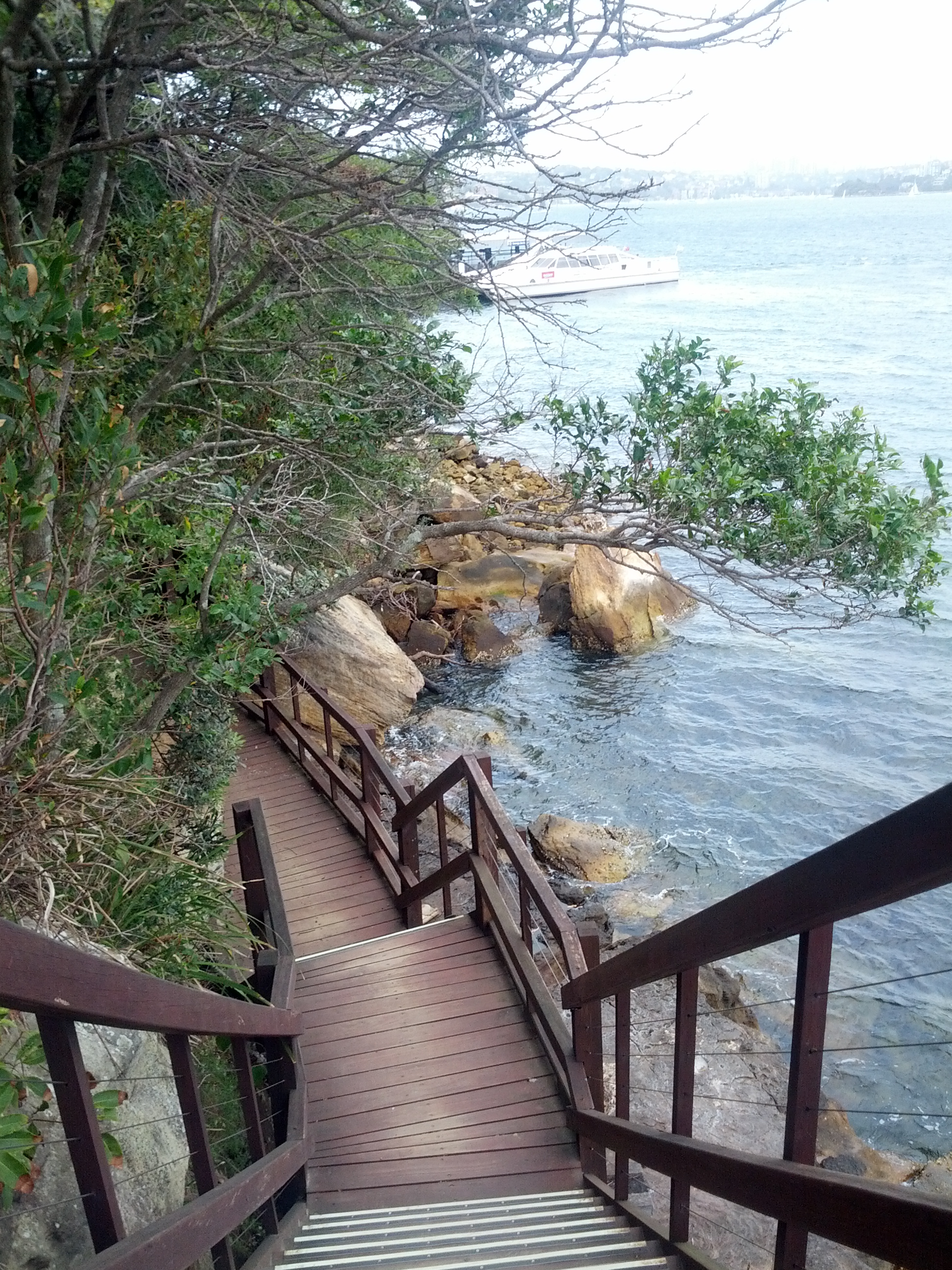
If you head down from the summit towards Islington Bay, you will have the opportunity to take the optional lava caves path (not that great unless you want to actually go into some caves) and also reach the causeway linking Rangitoto Island with the older and now meadow-covered Motutapu Island.

Causeway linking Rangitoto with Motutapu. Despite all their faults, the Americans did some pretty handy road building whilst in NZ during WW2.

The change in scenary between Rangitoto and Motutapu is startling, explained by the fact that Motutapu was here long before Rangitoto appeared and has no geographical links otherwise.

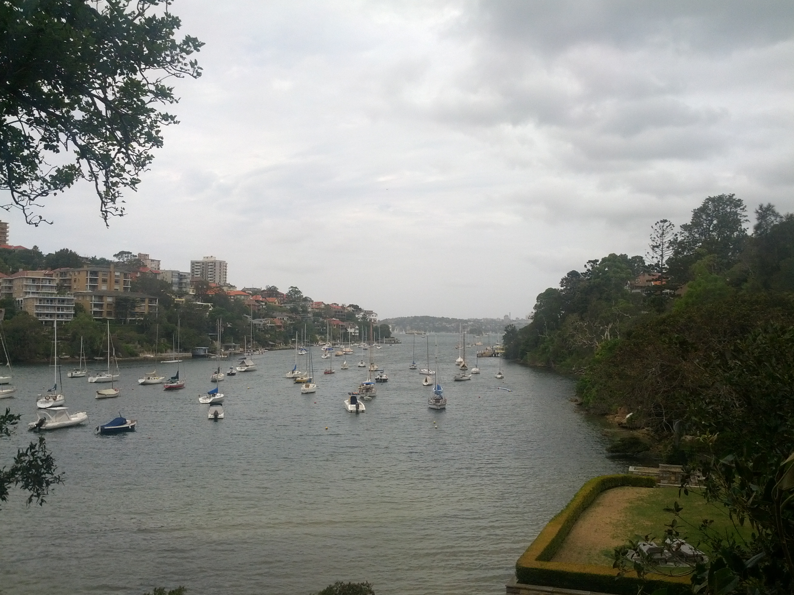
Looking out between the two islands.

Sadly I didn’t have time to get over to Motutapu Island, I arrived on the 09:15 ferry and departed on the 15:45 (last one of the day is 17:00) and I pretty much spent the entire time on the move.

Motutapu island has other WW2 sites, beaches and another main bay with a camping site that I would have liked to check out, but it would have been a 3 hour return trip to get there and back and I didn’t fancy gambling with the last ferry of the day home.

One thing to note about Rangitoto (and Motutapu for that matter) is that the timings on the Fuller’s map for the walkways are not to be ignored – I’m a damn fast walker, but I wasn’t able to do much more than 15% less than stated on the map at best of times. If it says 2 hours, it’s going to take 2 hours, don’t try to rush them.

Islington Bay by the Motutapu causeway is worth a visit, although serenity is a bit ruined when you have a party load of drinkers playing music in the bay – it’s a popular and accessible area for anyone with a boat.

There’s also the nearby Yankee Bay which has more ramps and could be a bit easier if you’re bringing a small dingy ashore.

Batches and boat ramps at Islington Bay. There are restored batches around the island.

Calmer, quieter waters.

Ruins of buildings long gone.

After visiting the bay, I took the coastal walk back to Rangitoto Wharf  which is about 2 hours and far more rocky than I realized.

I evidently wasn’t the only one, some poor dude had decided to take the walk carrying a kayak, an airport-style luggage bag on wheels and several camping bags of supplies via this path rather than the much easier road that would have been 30mins shorter and far, far easier to shift everything on. He would have earned his sleep after arriving at camp that night!

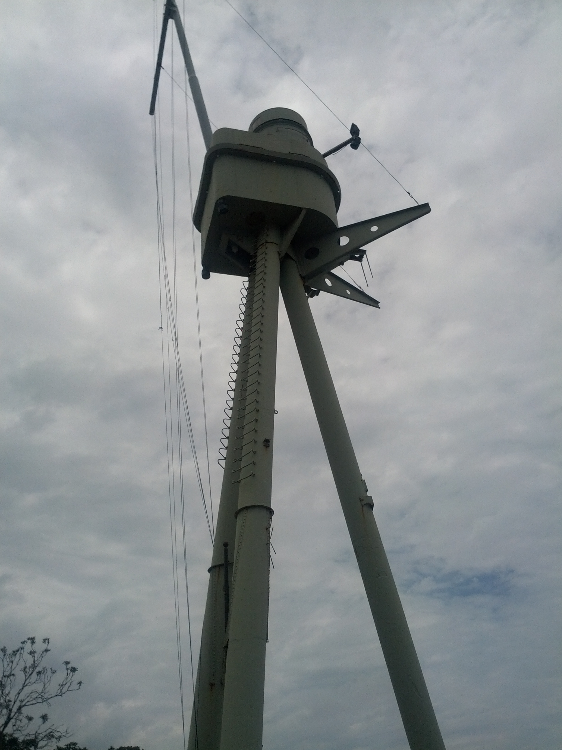
Rocky coastal path - and a random power pole?!?!

The coastal path is mostly bush walking with the occasional open space and scenic sea view. I mostly took it since I wanted to see the mine depot, where sea mines were stored and deployed to protect Auckland Harbour during WW2, but sadly it had a closed trail so I was unable to visit or even get close to get a view of it. :-(

After the whole trip, I was pretty exhausted. Sadly I didn’t get a GPS map of my walking activities as I needed to conserve phone battery, but it would have been a good number of kilometers!

Your sexy, rugged, and always modest adventurer strutting the Intel Linux propaganda to all the outdoors fitness fans. :-P

It was good having 30mins or so after the walk to just sit and relax waiting for the ferry.

There is cellphone and functional data coverage from parts of Rangitoto – essentially any parts with line-of-sight to Auckland city – if you are addicted to Twitter, Facebook or any of these other hip social media 2.0 things you kids today love. :-P

My ride home after a long day <3

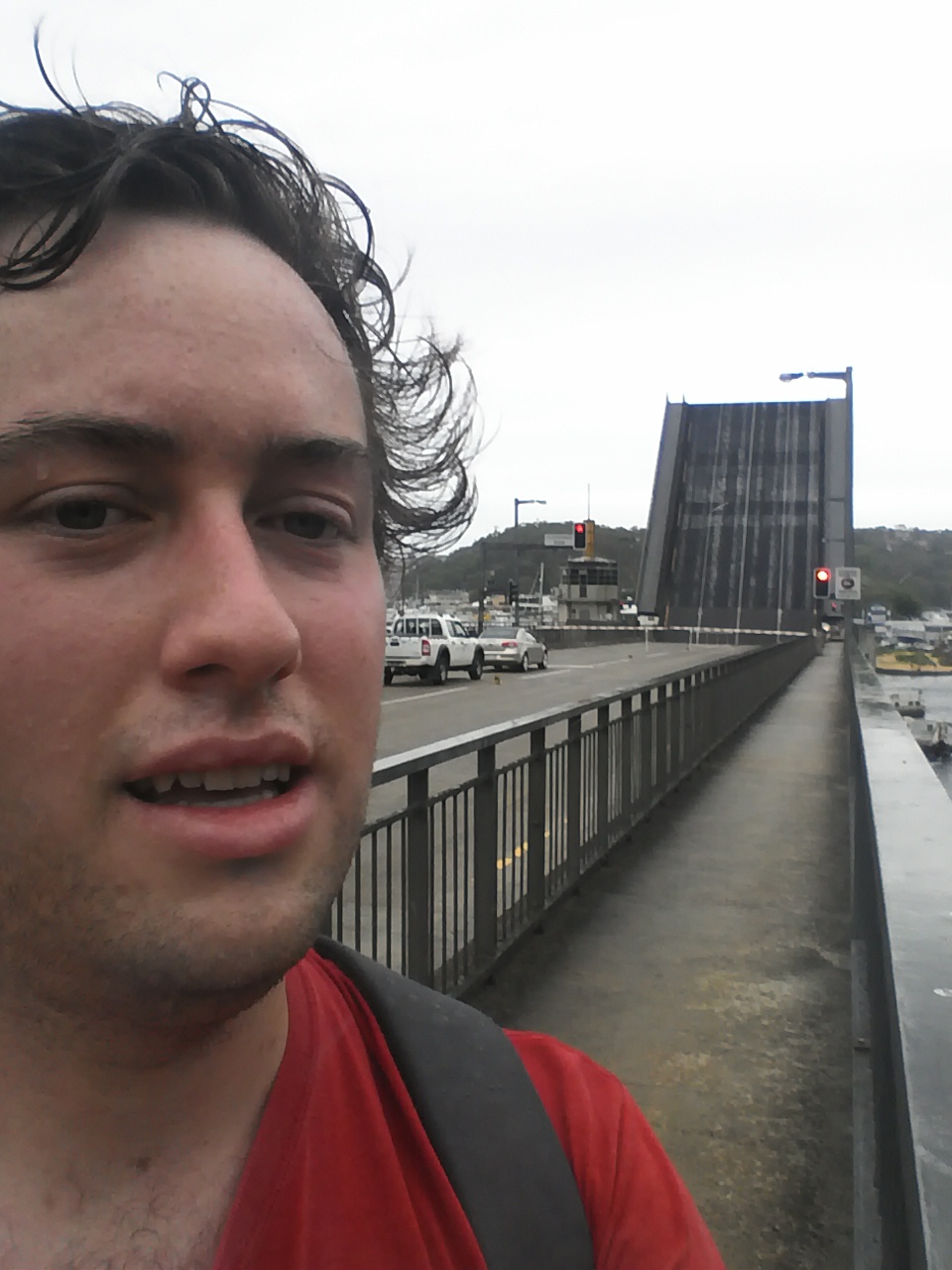
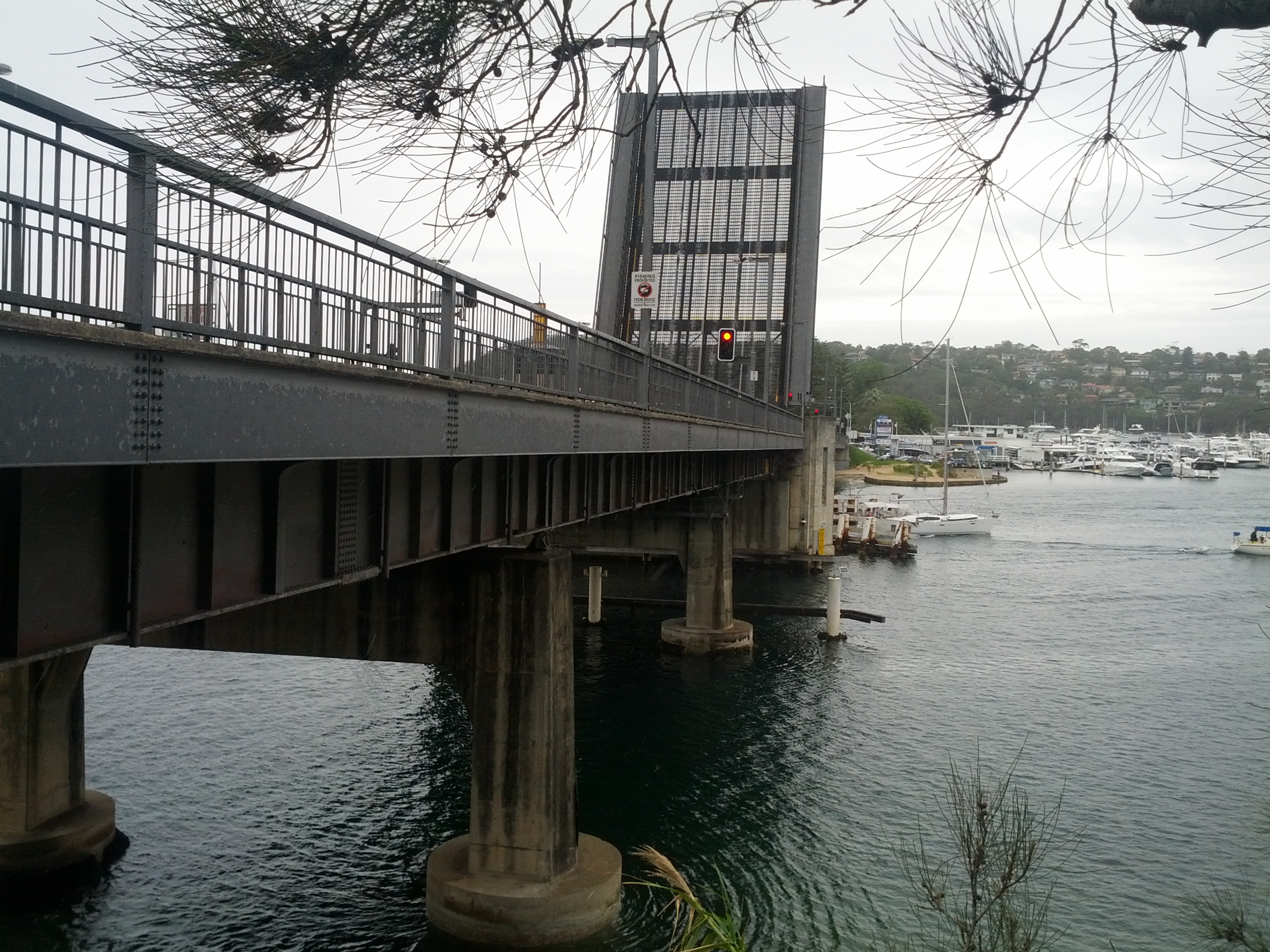
Disembarked at Devonport just as the rain starts.

If I managed to lose this during my walk, would they just leave me stranded on the island?

Overall it was a great tip with some amazing sights and walks and I’d certainly do it again at some point. Still many parts of the island I have yet to explore, bays with lighthouses, wrecks, quarries and of course everything on Motutapu to see and do.

I was fortunate in that I had an overcast day that, whilst almost at points, didn’t quite manage to rain, leaving me dry yet not too hot. I would avoid going on a blazing sunny day – when you get walking up hill or on the bush tracks it gets hot fast and the lava/rocks just love to reflect that heat back at you….

Take plenty of sunscreen (I’ve learned this the hard way), sunglasses, food and water. There is no fresh water on the island, I took and consumed around 2.4 liters of water during the 6 hours I was on the island (that’s 4 typical water bottles) and wouldn’t recommend any less for an adult.

You also want some kind of jacket as it can get cold when exposed and if it gets windy – most noticeable waiting for the ferry on the wharf, where several girls in very skimpy clothing shivered quite noticeably. And if it rains, there’s not always much shelter, so be prepared to get wet.

As always, NZ conditions can change quickly and with the length and remoteness of the trails on this island compared to inner city walks, you don’t want to be caught short.

Great Ocean Roadtrip

The weekend before linux.conf.au, I decided to go on a roadtrip with @chrisjrn down south of Melbourne for a roadtrip through the rural areas and along the Great Ocean Road.

I started the trip with a pickup from @chrisjrn from the Melbourne International Airport, after a short stopover at the Virgin lounge for some food, we headed out to drive through Melbourne CBD and along the coast to Sorrento.

My crazy tasmanian driver, @chrisjrn

Melbourne CBD skyline in the distance

Once at Sorrento, we took the Sorrento-Queensclift ferry from Sorrento to Queenscliff with the car, around a 1 hour trip across the main shipping lane into Melbourne.

Yay, I'm on a boat! (Crossing the Melbourne harbour)

Moar Boats!

After getting off the ferry and negoiating deep fried deliciousness from a local takeaway joint (silly aussies not understanding NZder accents), we hit the road and got onto the Great Ocean Rd.

It’s a pretty neat drive with many twists, turns and other interesting bits. The amount of tourist-specific signs is amusing, with always a sign stating “In Australia, we drive on the left” after every major tourist turnoff.

It also appears that every Australian rural town is required to have a carnival on, I must have passed around 20 of them during this trip.

After driving for some time, we started getting our first views of the Australian coast line, shortly followed with a stop off at the Split Point lighthouse, offering expanded views over the coast.

Start of the Ocean View Rd

View along the coast line from Split Point lighthouse

View out into the far distance from Split Point lighthouse

Split Point Lighthouse

Some dreamy looking tourist. Off-camera: hordes of fine ladies swooning nearby.

Me looking dorky by a lighthouse.


Split Point lighthouse plaque

These pillers are littered along the coast and form a major series attraction called the Twelve Apostles further along the road.

As it was getting late in the day (18:00+), we decided to pull in at Lorne and looked for some accommodation. After spending some time looking around, we determined nothing was open or available, before finding a cabin/motel online further along the road, towards Apollo Bay.

Stopped to look for accommodation in Lorne, view from seating area.

We ended up in a cabin up on the hills, with a partial view out over the bay and lots and lots of wildlife around.

Pretty boys came to visit our motel - saw at least 8 at the same time and could hear them running over the roof.

Pretty birdies!

Red birdies!

The next morning we set off to the Twelve Apostles, pillars of sandstone formed by erosion of the clift-face.

I'm Jethro. These are the Twelve Apostles. (or actually 11.5, since one has kind of fallen down now)

I think these huge clifts are to stop the New Zealanders from invading easily.

View platform on exposed clift face that is slowly being worn away... will eventually be an additional apostle.

Awesome signage.

Even moar rocks!

After taking pictures of lots of rocks and my hair moving dreamily in the wind, we headed up to Ballarat for the conference on the rural roads of Victoria.

Rolling through the outback. Well, kinda.


Rural Victoria looks very much like a dry Auckland at times, but with the addition of eucalyptus trees.

And that completes my trip around rural Victoria – next up, LCA posts. :-)