Rangitoto Island Adventures

Due to excessive homesickness for Wellington’s hills lately, I decided that it would be nice to visit the next best thing and go climb the local volcano –  Rangitoto Island.

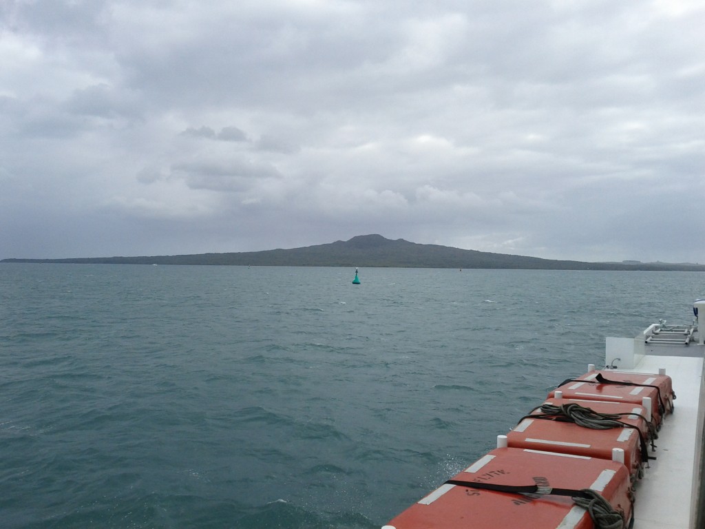
Approaching Rangitoto from Auckland CBD via ferry

Rangitoto makes up part of the Auckland Volcanic Field, erupting less than 600 years ago. and is clearly visible from Takapuna Beach, Mission Bay and various other locations.

This field is now considered dormant, but based on the size of Rangitoto, if any of the volcano in this field ever became active again, I’d be getting out of here as fast as I possibly can. (Although all Aucklanders would perish stuck in traffic trying to get out, so I’d probably use the precious moments left to hug my Linux server and tell it how much it means to me instead.)

Rangitoto is a particular interesting trip, not just because it’s a big volcano slapped alongside NZ’s largest city, but also for it’s impressive view, many walking trails, interesting human history (Maori, WW2, 20th century) and the fact that you can get extra walks and value by also visiting the neighboring island Motautapu which is connected and walkable.

I did only a day trip, but I’m seriously considering a several-days trip out to walk more of the island trails and to camp overnight in the designated camping grounds on Motautapu.

To get there, Fullers run a regular ferry service from Britomart & Devonport out to Rangitoto with several trips a day for $27 return, or $20 if you book online.

There’s a great map and guide which Fullers provides as a download or at the ticket office, if you’re planning a visit I recommend you grab it, just don’t trust the timetable 100% without checking the exact trip times for the particular day you’re visiting, as if you get it wrong, there’s no overnight accommodation and I think a private water taxi trip back to the CBD would be a bit pricey….

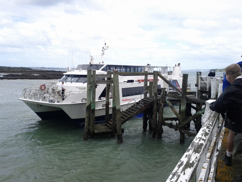
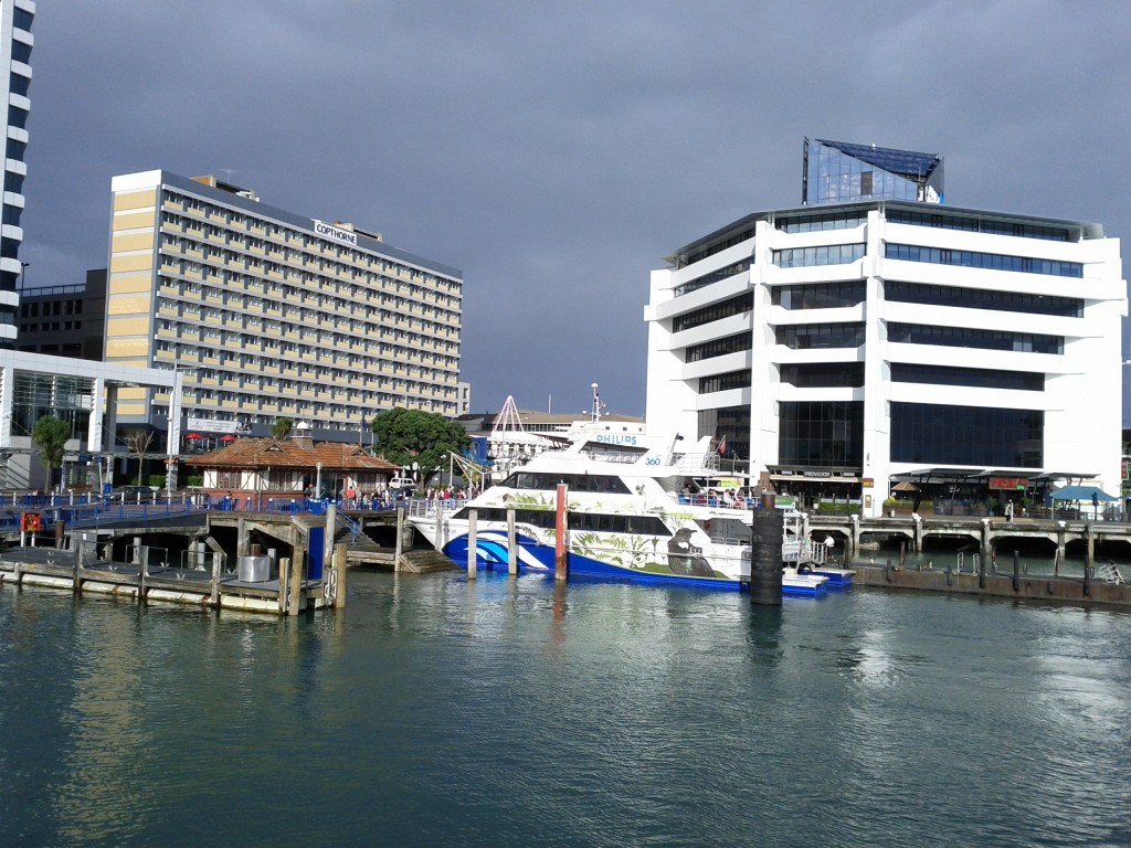
Sitting on the ferry, waiting to depart. Little dubious about the weather.

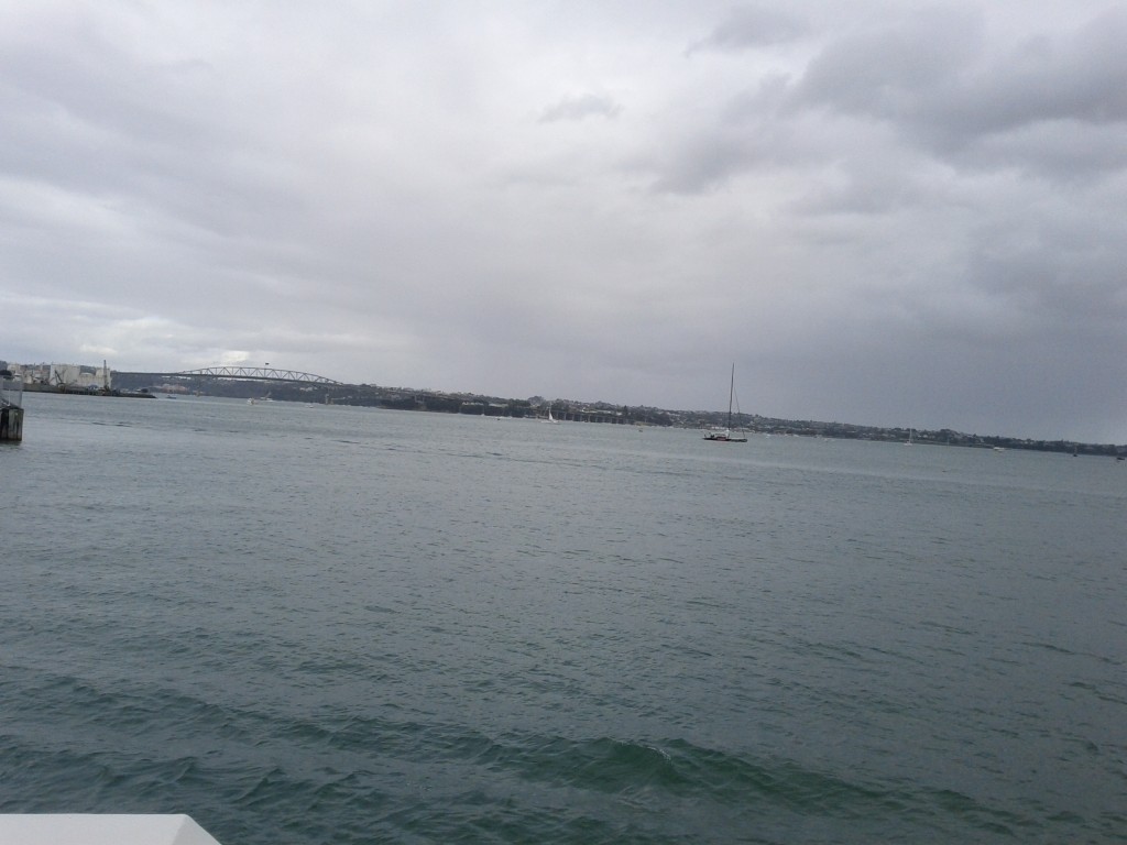
Cruising out of Auckland CBD, note the harbour bridge in the distance and the North Shore.

Taking the ferry from Britomart rather than Devonport offers some extra additional views of Auckland’s waterfront, including the cargo port which I didn’t manage to get pictures of sadly.

As a tip, even if you live on the North Shore, it’s often easier to bus into Auckland CBD and go from Britomart than it is from Devonport which remarkably always managed to have ridiculous amounts of suburban traffic congestion – I departed from Britomart and returned via Devonport, with the latter taking a good 30mins+ more to get home due to nose-to-tail traffic all the way to Takapuna!

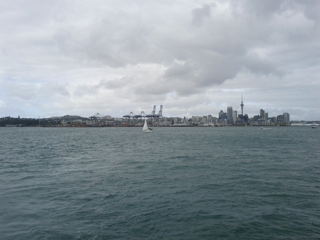
Auckland CBD and cargo port.

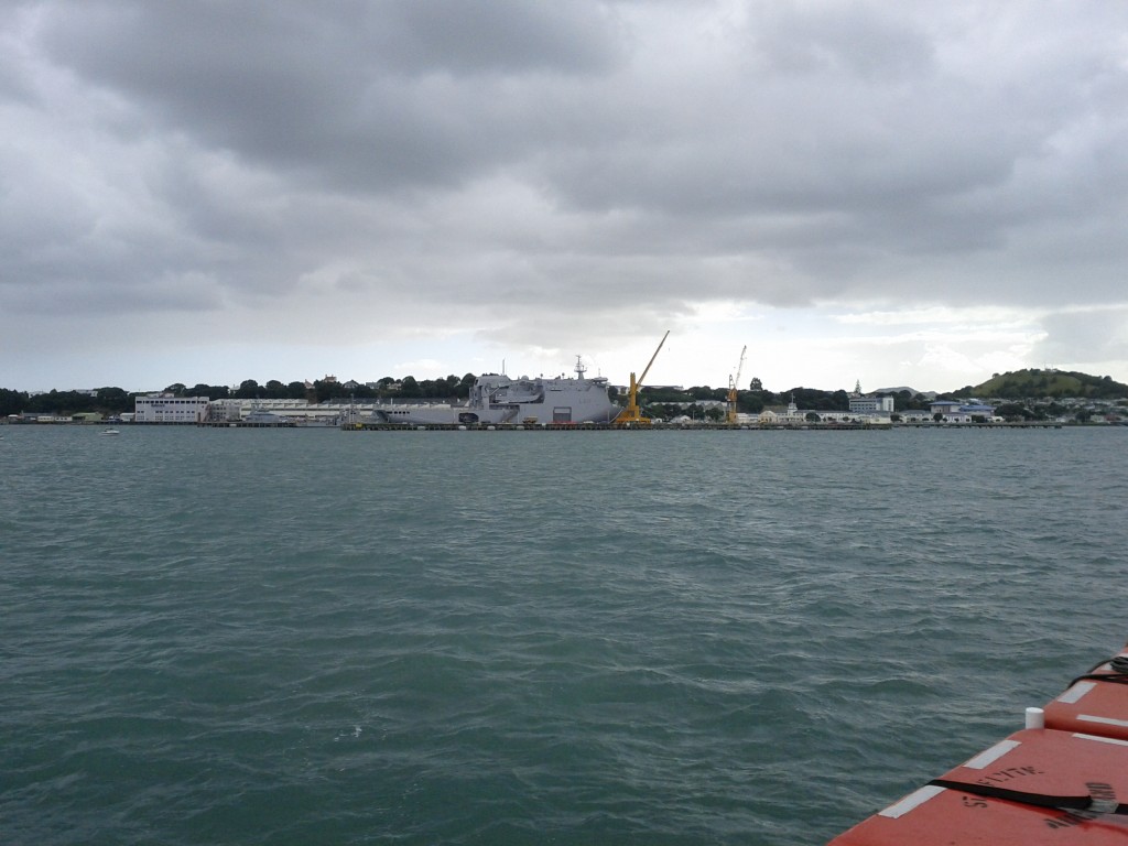
Devonport Naval Base with HMNZS Canterbury in port.

Getting a good view of the Devonport Naval Base is pretty neat and offers something that you won’t see around Wellington’s harbor quite so much – when I went past, the HMNZS Canterbury was in port, sadly not out sinking whalers.

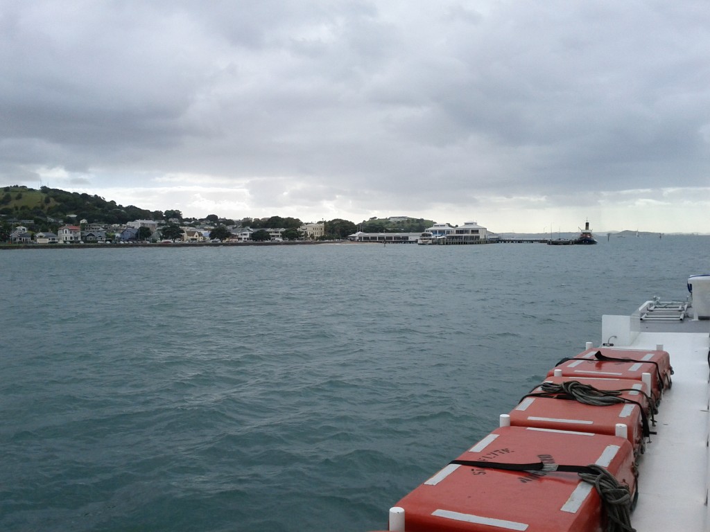
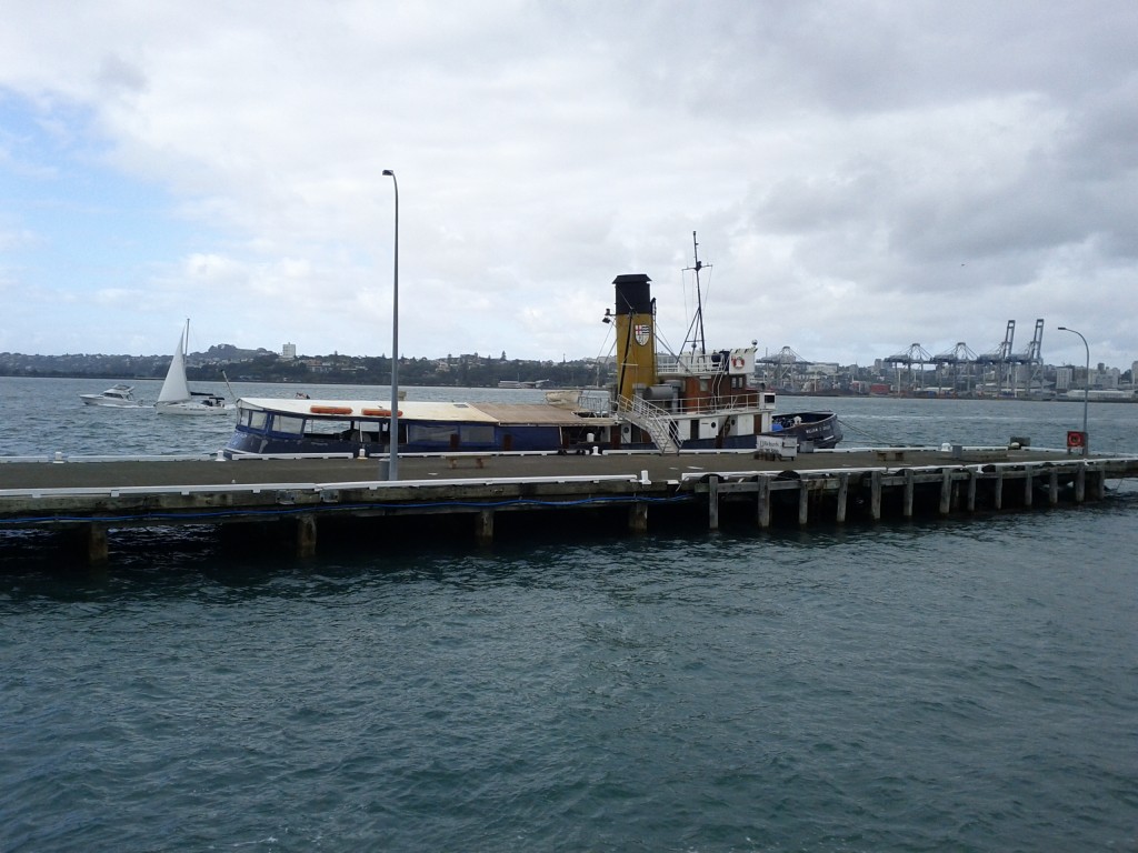
Pulling into Devonport Wharf

The William C Daldy Steam Tug at Devonport.

The trip to Rangitoto from Britomart takes around 25-45 mins depending on stopover time at Devenport to load/unload passengers.

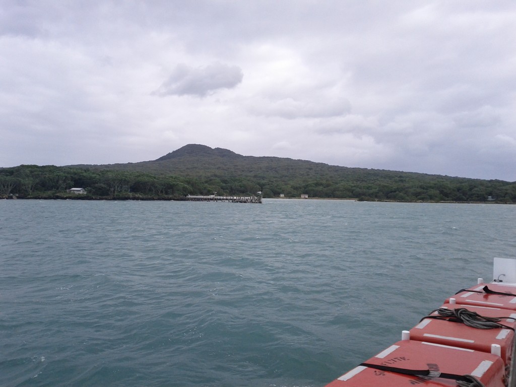
Coming into the wharf at Rangitoto

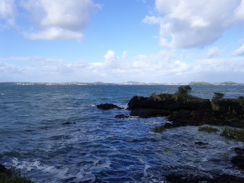
Looking out from Rangitoto towards Auckland.

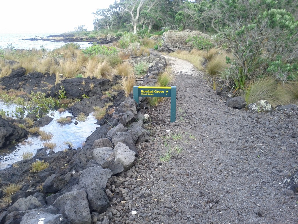
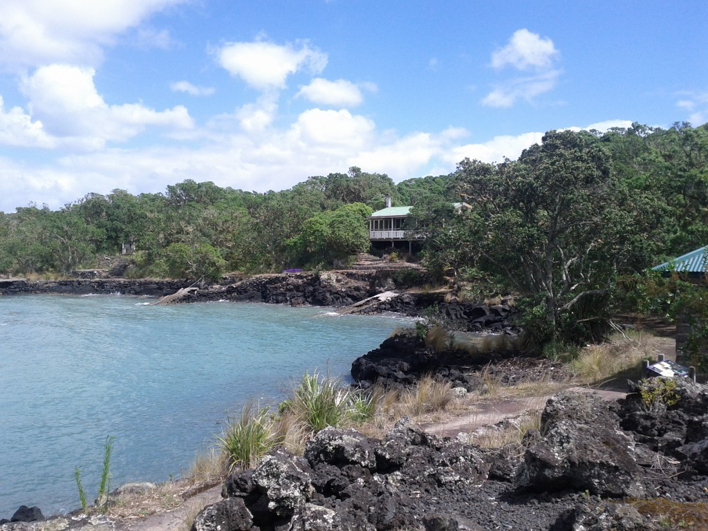
Rocks, Bush, Sea with a tint of human impact - you'll get a lot of this here.

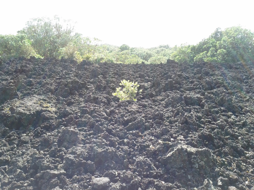
Once on Rangitoto, the most noticeable trait is the rocks. The entire island is basically one giant pile of jagged rocks (after all, it was formed by a volcano) with plants growing whether they manage to take root. Often there’s weird patches of just rock with a single plant that has managed to grow in the middle.

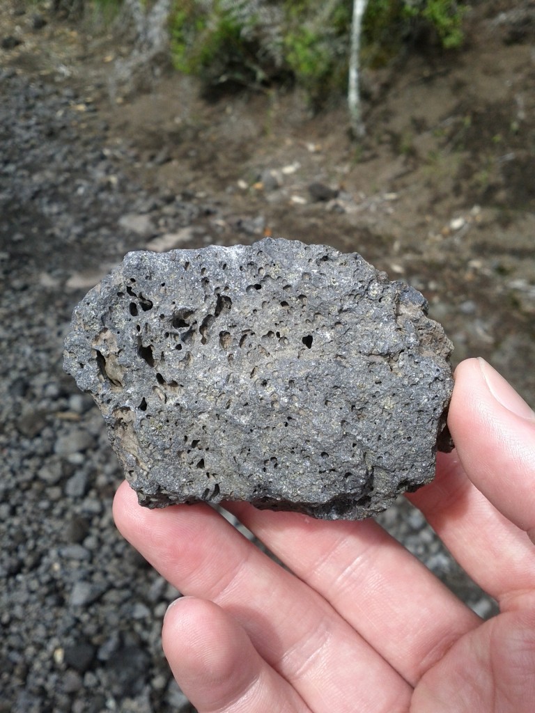
The rocks themselves vary from being quite porous, to denser formations formed by lava and darker rock where lava came to hit the water. If there’s any geologists reading this blog, I’m sure they can comment far more accurately than I ever could about the different formations of rock.
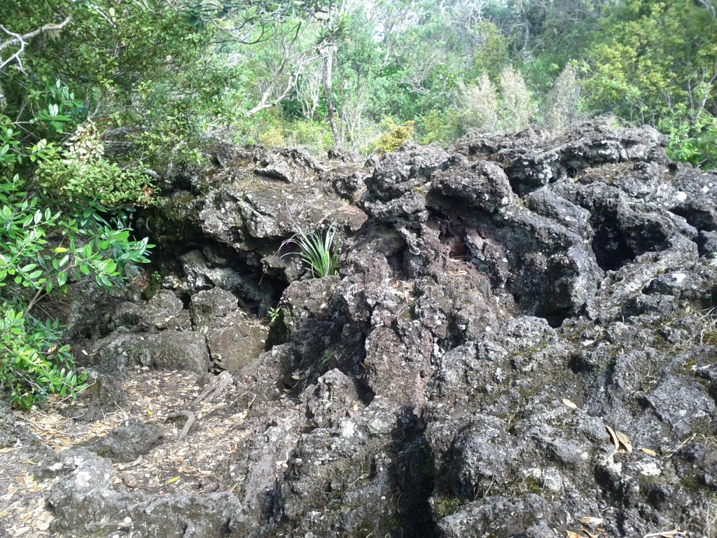
A Geologist's Dreamland?

Pourous volcanic rocks litter the island, interestingly I didn't come across any pumice though.

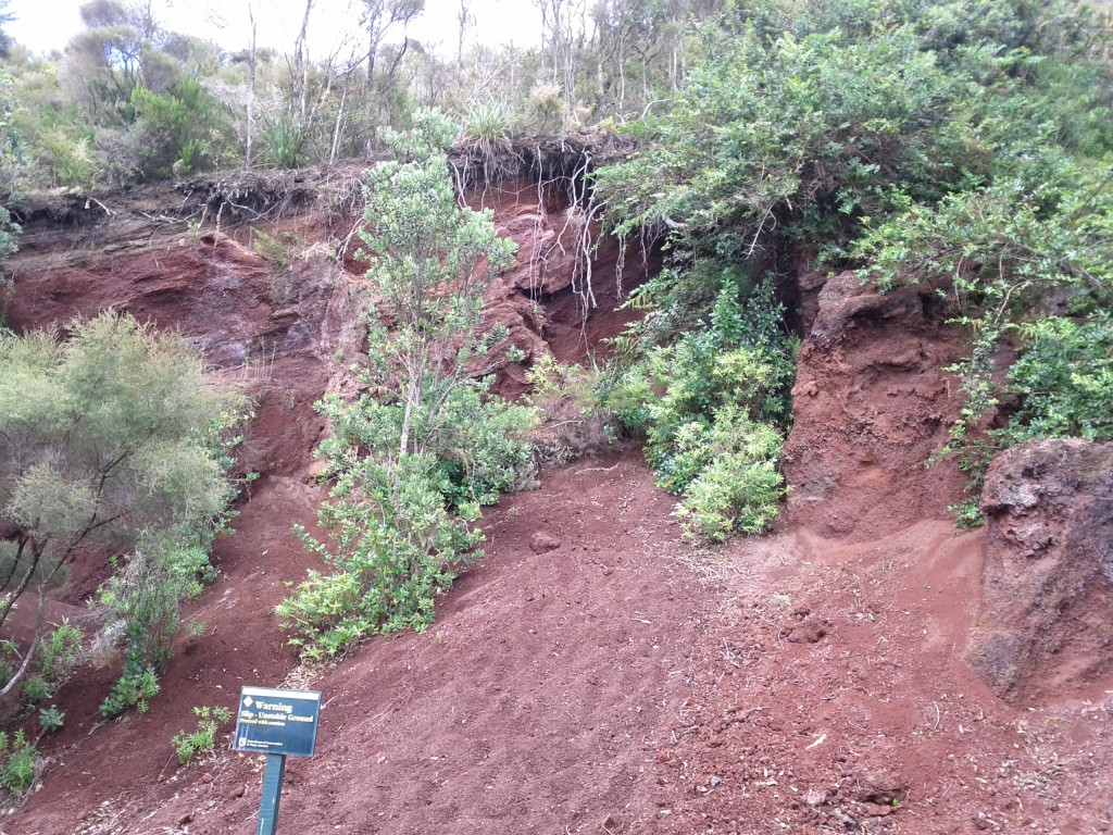
Love the red soil, it's like being in aussie! ;-)

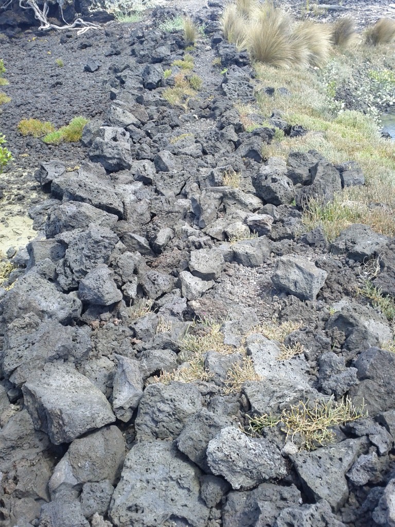
Dense lava flows - this track leads to the lava caves formed by flowing lava leaving a crust/shell which becomes a cave.

After disembarking the ferry I took the most direct path which pretty much climbs steadily up the mountain until reaching the top lookout. It started off pretty smoothly, but quickly became steeper and had me cursing my fitness, the temperature and the fact that I had to keep pushing as I didn’t want elderly ladies to beat me up.

It is possible to do Rangitoto by road-train tour (read trailers pulled by a tractor) which seemed popular with a number of tourists, families and elderly, but if you’re young/slightly fit, you’ll miss the whole point and many of the better paths on the island by taking it.

The other popular way to get around seems to be jogging – I’m not into running myself, but even I was starting to enjoy leaping from rock to rock towards the end of my day and it’s certainly a bit of a nicer spot for a ran than some random Auckland city road.

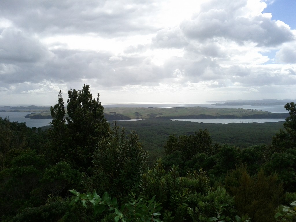
Once at the top, the view is pretty amazing and makes all the pain getting up the hill worthwhile.
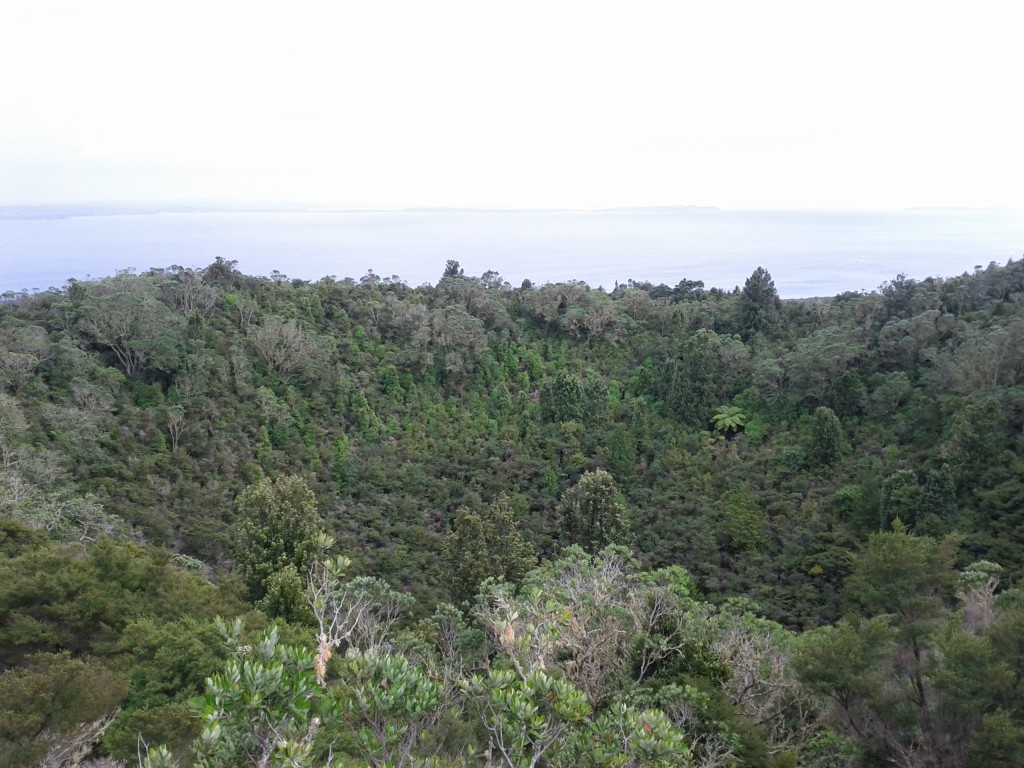
Crater at the top of the island, just incase you forgot you were ontop of a giant exploding mountain.
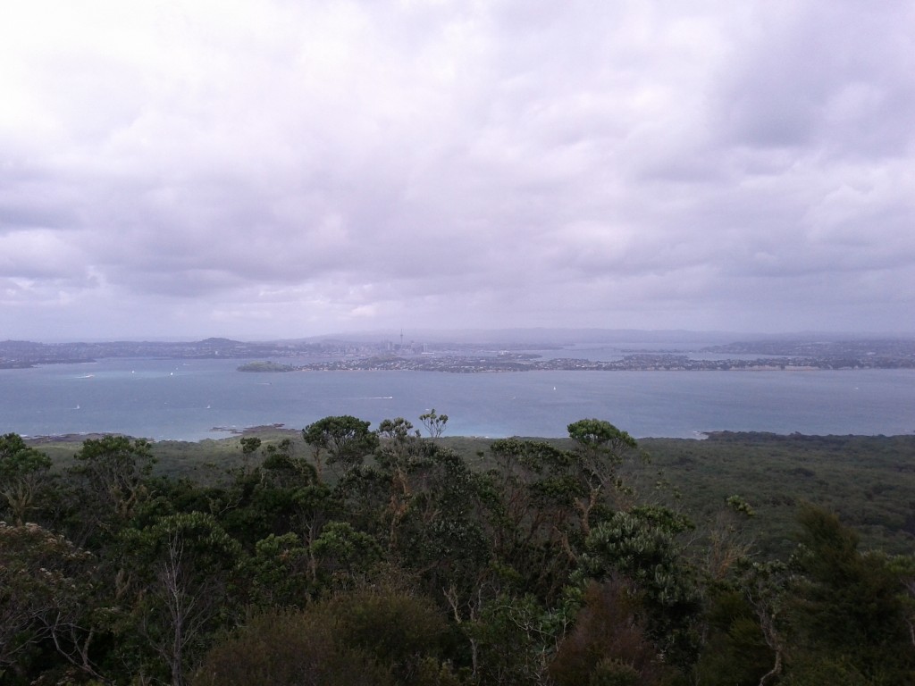
Bow before Jethro the volcano conqueror, puny Aucklanders! (Looking out at CBD and the North Shore/Devonport)

Looking North-West out over the neighboring Motutapu Island

With a view like that, I had to give the new Android/ICS/4.0 panorama feature a go, but even this doesn’t do it justice. (look ma! I’m like a real professional-photo-taking-person!) ;-)

Panorama of Auckland looking south from the top of Rangitoto.

Looking over the North Shore region and a good view of the island below.

There’s a few things to look at up on the summit itself – it’s the home of an old WW2 observation post and there are a couple other ruins around as well if you do the crater loop walk track.

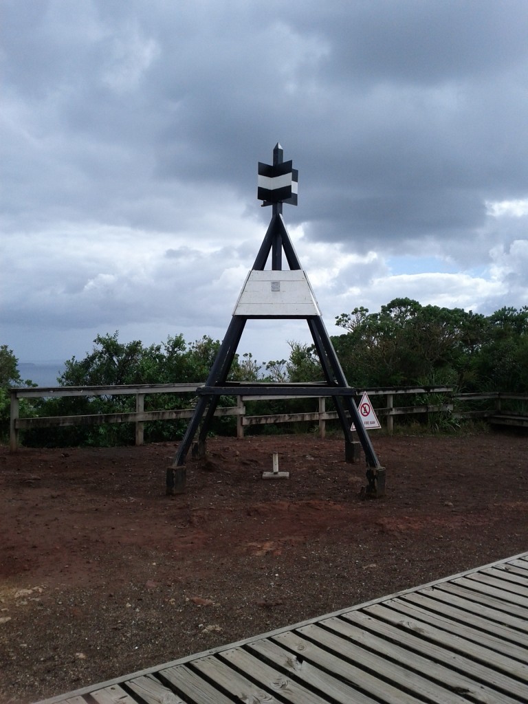
Does anyone actually know what these are? Summit markers?

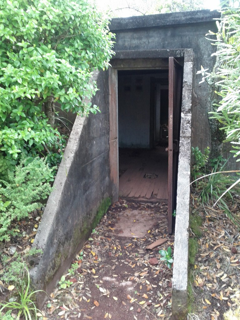
I pity the poor suckers who had to lug this cement all the way up to build these bunkers....

The paths around the island vary a lot. There’s the typical standard dirt walking tracks, but you’ll sometimes have nice solid wooden walkways or wide rocky roads. Yet at other times, your path will be barely determinable piles of difficult to get across rocks.

What’s also extremely variable is how much the paths vary from being wide open places to being tight bush tracks, you can quickly go from one extreme to another.
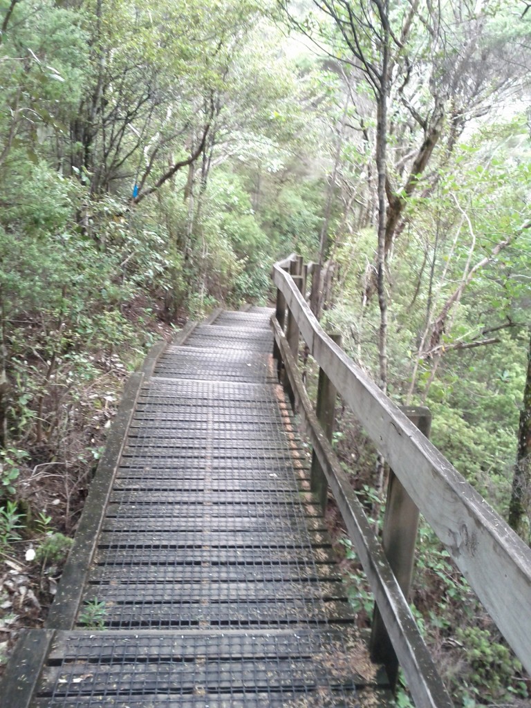
I dare say my good sir, this path looks quite civilized, let us wander along and discuss our plans for high tea.
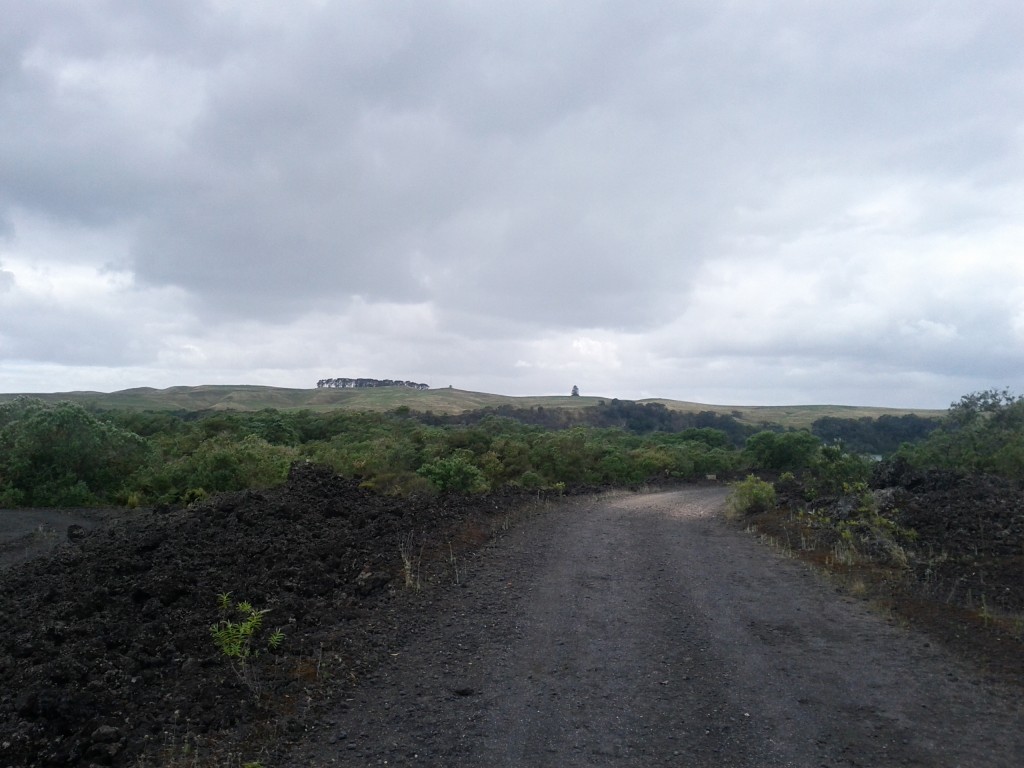
Wide open spaces - DOC workers use some of these roads with utes, if you're lucky a cute one rolls down the window and smiles at you instead of running you down. :-)

I call this path "The Ankle Breaker"

If you head down from the summit towards Islington Bay, you will have the opportunity to take the optional lava caves path (not that great unless you want to actually go into some caves) and also reach the causeway linking Rangitoto Island with the older and now meadow-covered Motutapu Island.
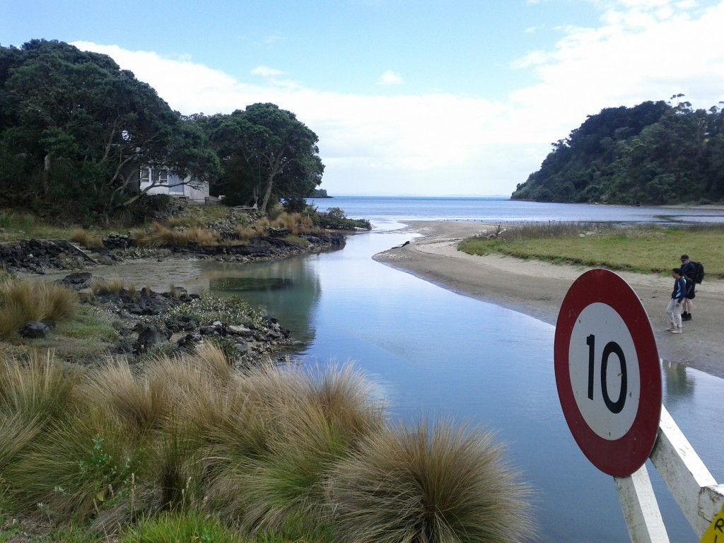
Causeway linking Rangitoto with Motutapu. Despite all their faults, the Americans did some pretty handy road building whilst in NZ during WW2.
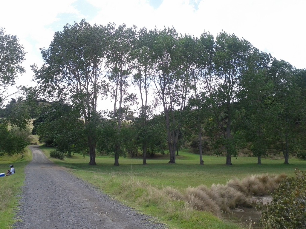
The change in scenary between Rangitoto and Motutapu is startling, explained by the fact that Motutapu was here long before Rangitoto appeared and has no geographical links otherwise.

Looking out between the two islands.

Sadly I didn’t have time to get over to Motutapu Island, I arrived on the 09:15 ferry and departed on the 15:45 (last one of the day is 17:00) and I pretty much spent the entire time on the move.

Motutapu island has other WW2 sites, beaches and another main bay with a camping site that I would have liked to check out, but it would have been a 3 hour return trip to get there and back and I didn’t fancy gambling with the last ferry of the day home.

One thing to note about Rangitoto (and Motutapu for that matter) is that the timings on the Fuller’s map for the walkways are not to be ignored – I’m a damn fast walker, but I wasn’t able to do much more than 15% less than stated on the map at best of times. If it says 2 hours, it’s going to take 2 hours, don’t try to rush them.

Islington Bay by the Motutapu causeway is worth a visit, although serenity is a bit ruined when you have a party load of drinkers playing music in the bay – it’s a popular and accessible area for anyone with a boat.

There’s also the nearby Yankee Bay which has more ramps and could be a bit easier if you’re bringing a small dingy ashore.

Batches and boat ramps at Islington Bay. There are restored batches around the island.

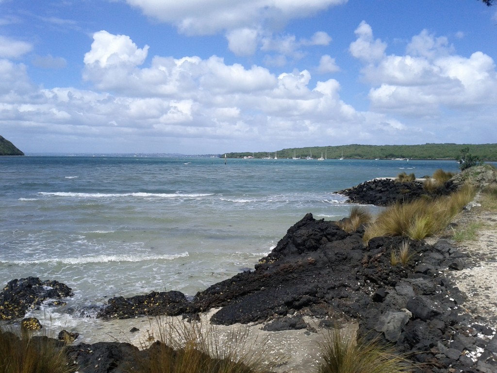
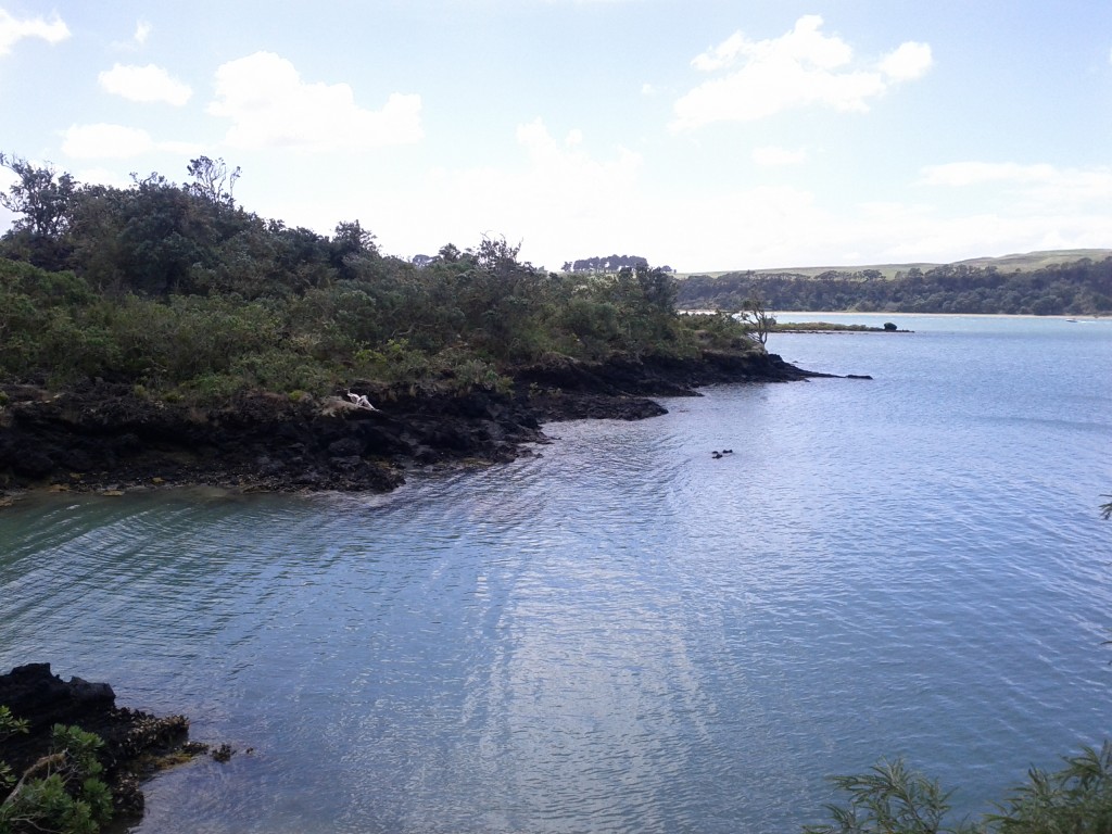
Calmer, quieter waters.

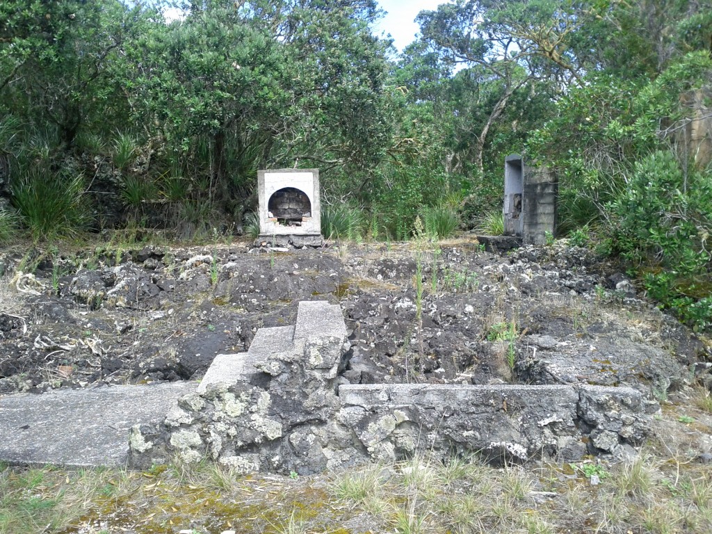
Ruins of buildings long gone.

After visiting the bay, I took the coastal walk back to Rangitoto Wharf  which is about 2 hours and far more rocky than I realized.

I evidently wasn’t the only one, some poor dude had decided to take the walk carrying a kayak, an airport-style luggage bag on wheels and several camping bags of supplies via this path rather than the much easier road that would have been 30mins shorter and far, far easier to shift everything on. He would have earned his sleep after arriving at camp that night!

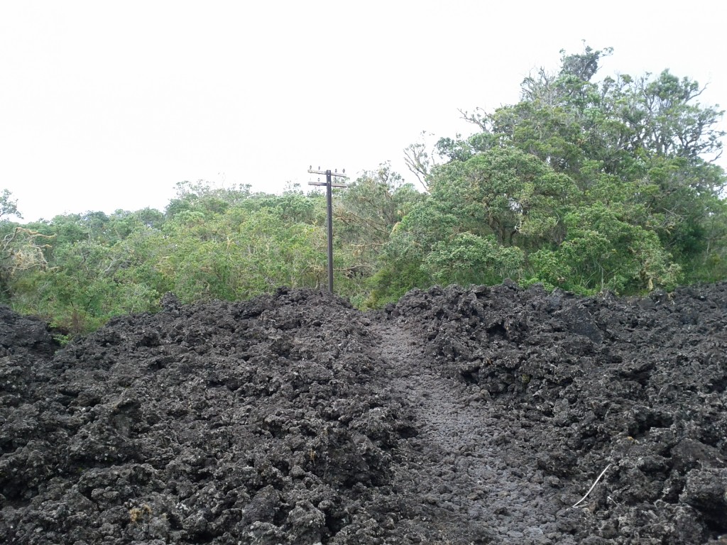
Rocky coastal path - and a random power pole?!?!

The coastal path is mostly bush walking with the occasional open space and scenic sea view. I mostly took it since I wanted to see the mine depot, where sea mines were stored and deployed to protect Auckland Harbour during WW2, but sadly it had a closed trail so I was unable to visit or even get close to get a view of it. :-(

After the whole trip, I was pretty exhausted. Sadly I didn’t get a GPS map of my walking activities as I needed to conserve phone battery, but it would have been a good number of kilometers!

Your sexy, rugged, and always modest adventurer strutting the Intel Linux propaganda to all the outdoors fitness fans. :-P

It was good having 30mins or so after the walk to just sit and relax waiting for the ferry.

There is cellphone and functional data coverage from parts of Rangitoto – essentially any parts with line-of-sight to Auckland city – if you are addicted to Twitter, Facebook or any of these other hip social media 2.0 things you kids today love. :-P

My ride home after a long day <3

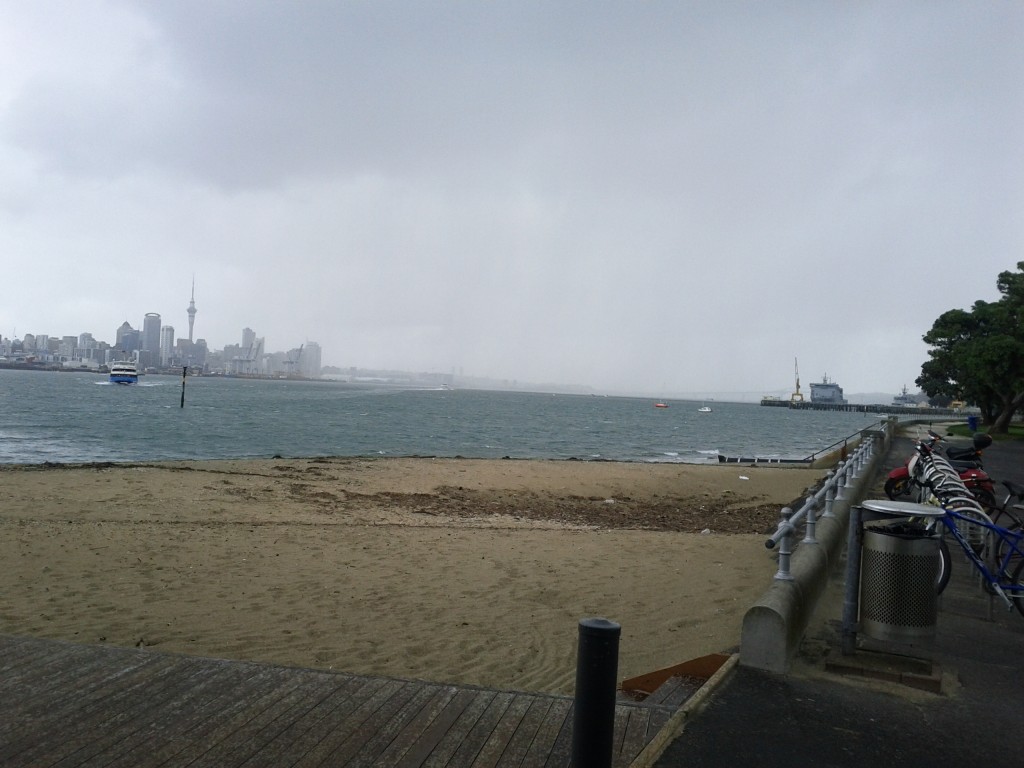
Disembarked at Devonport just as the rain starts.

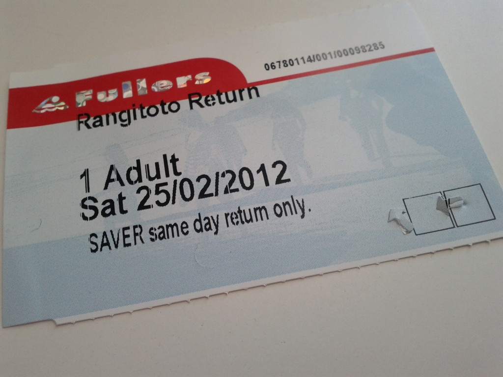
If I managed to lose this during my walk, would they just leave me stranded on the island?

Overall it was a great tip with some amazing sights and walks and I’d certainly do it again at some point. Still many parts of the island I have yet to explore, bays with lighthouses, wrecks, quarries and of course everything on Motutapu to see and do.

I was fortunate in that I had an overcast day that, whilst almost at points, didn’t quite manage to rain, leaving me dry yet not too hot. I would avoid going on a blazing sunny day – when you get walking up hill or on the bush tracks it gets hot fast and the lava/rocks just love to reflect that heat back at you….

Take plenty of sunscreen (I’ve learned this the hard way), sunglasses, food and water. There is no fresh water on the island, I took and consumed around 2.4 liters of water during the 6 hours I was on the island (that’s 4 typical water bottles) and wouldn’t recommend any less for an adult.

You also want some kind of jacket as it can get cold when exposed and if it gets windy – most noticeable waiting for the ferry on the wharf, where several girls in very skimpy clothing shivered quite noticeably. And if it rains, there’s not always much shelter, so be prepared to get wet.

As always, NZ conditions can change quickly and with the length and remoteness of the trails on this island compared to inner city walks, you don’t want to be caught short.
Magical Bank Gnomes

I just couldn’t help myself…. I think it’s the whole commanding “do not reply to this message” that I just can’t ignore.

Maybe sometime in the future an administrator will be cleaning out the SMS spool folder and find it in the pile of idiotic customers who had to reply to the automated feed. :-)

Why I hate URL shorteners

I’ve used Awstats for years as my website statistics/reporting program of choice – it’s trivial to setup, reliable and works with Apache log files and requires no modification to the website or usage of remote tools (like with Google Analytics).

One of the handy features is the “Links from an external page” display, which is a great way of finding out where sudden bursts of hits are coming from, such as news posts mentioning your website or other bloggers linking back.

Sadly over the past couple of years it’s getting less useful thanks to the horrible wonder that is URL shortening.

URL shorteners have always been a controversial service – whilst they can be a useful way of making some of the internet’s more horrible website URLS usable, they cause a number of long term issues:

  • Centralisation – The internet works best when decentralised, but URL shortening makes a large number of links dependent on a few particular organisations who may or not be around in the future. There’s already been a number of link shortening companies who have closed down killing large numbers of links and there will undoubtedly be more in the future.
  • Link Hiding – Short URLs are a great way to send someone a link and have them open it without realising what content they’re actually about to open. It could be as innocent as a prank for a friend or as bad as malicious malware or scamming websites.
  • Performance – It takes an extra DNS query (or several) to lookup the short URL servers before the actual destination can be looked up. This sounds like a minor issue, but it can add up when on high latency connections (eg mobile) or when connecting to international content on NZ’s wonderful internet and can add up to a number of seconds sometimes.
  • Privacy – a third party can collate large amounts of information about an individual’s browsing history if they have a popular enough URL shortening service.

Of course URL shortening isn’t entirely evil, there’s a few valid use cases where they are acceptable or at least forgivable:

  • Printed materials with URLs on them for manual entry. Nobody likes typing more than they need to, that’s understandable.
  • Quickly sending temporary links to people via IM or email where the full URL breaks due to the client application’s inability to phrase the URL correctly.

Anything other than the above is inexcusable, computers are great at hiding the complexities of large bits of information, there’s no need for your blog, social network or application to use short URLs where there is no human entry factor involved.

Twitter is particularly guilty at abusing short URLs – part of this was originally historic, but when Twitter had the opportunity to fix, they chose to instead contribute further towards the problem.

Back in the early days of Twitter, there was no native URL handling, so in order to fit many links into the maximum tweet size of 140chars, users would use a URL shortener such as the classic tinyurl.com or more recent arrivals such as bit.ly to keep the URL lengths as small as possible.

Twitter later decided to implement their own URL shortening service called t.co and now enforce the re-writing of all URLs posted via Twitter to use t.co links, in a semi-transparent fashion where some/all of the original URL will be shown in the tweet, but the actual hyperlink will always go through t.co.

This change offers some advantage to users in that they were no longer dependent on external providers closing down and breaking all their links, as well as having some security advantages in that Twitter maintain lists of bad URLs (URLs they consider to serve malware or other unwanted content) to help stop the spread of dodgy content.

But it also gave Twitter the ability to track click data to figure out which links users were clicking on, I imagine this information would be highly valuable to advertisers. (Google do a very similar thing with the Google results web pages, where all clicks are first directed through a Google server to track what results users select, before the user is delivered to the requested page).

The now mandatory use of URL shorteners on Twitter has lead to a situation where it’s no longer easy to track which tweets or even, what tweeters, are leading to the source of your hits.

Even more confusingly, the handling of referred URLs is inconsistent depending on the browser/client following the link. The vast majority will log as the short URL version, but some will be smart enough to provide the referred URL *before* the referring took place.

RFC 2616 doesn’t touch on how shortened URLs should be handled when referring and leaves the issue of how 301 redirects should have their referrers handled up to the implementers decision. And their are valid arguments for using the original page vs the short URL as the referrer.

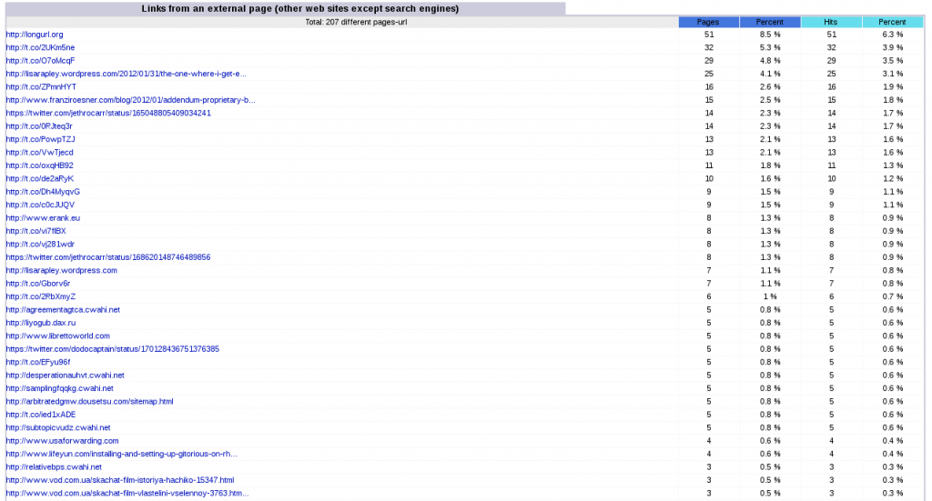
For example, for this tweet I have about 9 visits via http://twitter.com/jethrocarr/status/170112859685126145 and 29 visits via http://t.co/0RJteq3r, which throws out hit-count based ordering of the results:

Got to love Twitter & shortened URLs - most of these relate to tweets, but to which tweets? No easy way to track back.

A much better solution, would have been for twitter to display shortened versions of URLs in the tweet text to meet the 140 char limit, but the actual link href record featuring the full URL – for example, a tweet could have “jethrocarr.com/i-like-…..” as the link text to fit within 140 chars, but the actual href record would be the full “jethrocarr.com/i-like-cake” URL.

Whilst tweets are known as being 140 chars, there’s actually far more information than that sorted about each tweet: location co-ordinates, full URL information, date, time and more, so there is no excuse for Twitter to not be able to retain that URL data – of course, that information has value for them for advertising and tracking purposes, so I wouldn’t expect it to ever go away.

(As a side note, there’s an excellent write up on ReadWriteWeb about the structure of a tweet and associated information)


Over all, shortened URLs are just a pain for dealing with and it would be far better if people avoided them as much as possible, essentially if you’re using a short URL and it’s not because a user will be manually typing out content, then you’re doing it wrong.

Also keep in mind that many sites have their own shortish URL variations. For example, this article can be accessed via both date/name and ID number:

https://www.jethrocarr.com/2012/02/26/why-i-hate-url-shorteners
https://www.jethrocarr.com/?p=1453

Many people also run their own private shorteners, quite common with popular sites such as news websites wanting to retain control of the link process and is a much better idea if you plan to have lots of short URLs for your website for a valid reason.

Virtualbox Awesomeness

Work recently upgraded us to the latest MS Office edition for our platform. Most of our staff run MacOS, but we have a handful of Windows users and one dedicated Linux user (guess who?) who received MS Office 2010 for Windows.

I’ve been using MS Office 2007 under Wine for several years, it was never perfect, but about 90% of the functionality worked with some exceptions such as PDF export and certain UI and performance artifacts.

With the 2010 upgrade I decided to instead switch to using Windows under a VM on my laptop to avoid any headaches and to fix the missing features and performance issues experienced running Office under Wine.

Whilst I’m a fan of Xen and KVM, they aren’t so well suited for desktop virtualisation as they’re designed more for server environments and don’t offer some of the more desktop focused features such as seamless integration, video acceleration and easy point & click management interfaces.

Instead I went with VirtualBox thanks to it being mostly open source (open source with exception for a few extensions for USB 2.0 forwarding and network boot) and with a pretty good reputation as a decent VM application.

It also has some of the user-friendly desktop features you’d expect such as being able to forward USB hardware through to guest, mounting any folder on the host as a network share (without needing to setup samba) and 2D/3D video acceleration.

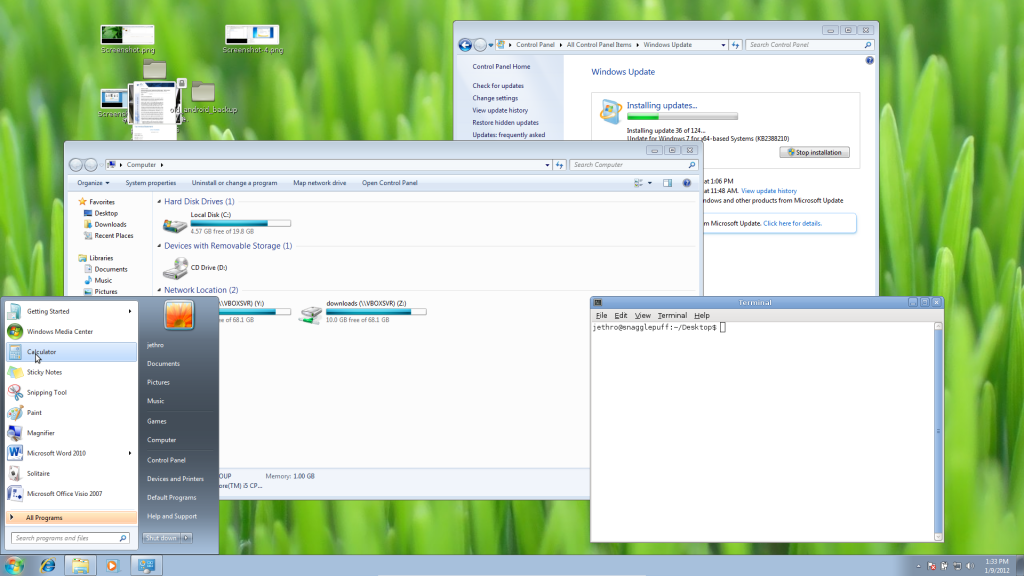
But the real killer feature for me was the seamless windows feature, which allows me to boot the virtual windows desktop and Windows applications alongside my Linux applications smoothly and without the nastiness of an RDP window.

Windows & Linux application windows running together concurrently.

Sadly it’s not quite good enough for you to be able to run the latest Windows games in as the 3D acceleration is quite basic, but it’s magnificent for just about any other non-multimedia application.

The only glitch I found, is that if you have dual screens, you can only run the windows session on one screen at a time, although virtualbox does allow moving the session between monitors whilst running so it’s not too big a deal.

The other annoying issue I had with virtualbox is that it uses image files for storing the guest VMs and it doesn’t appear possible to get it to use an LVM volume instead – so in my case, I waste a bit of space and performance for unnecessary filesystem formatting to store the Windows VM. I guess this is a feature that only a small subset of users would want so it’s not particularly high priority for them to add it.

I’m running Win7 with 2 virtual cores and 1GB of RAM on top of a host with an Intel Core i5 CPU (with hardware virtualisation enabled), 8GB RAM and a Intel 320 series SSD and it’s pretty damn snappy.

As a side note, the seemless window integration also works for Linux-based guests, so you could also do the same ontop of a Windows host, or even Linux-on-Linux if desired.

Johnsonville Train

I was in Wellington a week ago for several work projects and ended up on a train out to Johnsonville to help my good friend Tom with his wifi/cable modem issues at his new flat, now that #geekflat is over. :'(

It’s not a secret that I love trains, a good deal of my per-computing childhood was spent reading train books, visiting the Silverstream Railway in Wellington (I think I was the youngest member at the time) and when I was younger Dad would sometimes take me out on Wellington’s suburban trains for daytrips.

The fact that Wellington’s rolling stock was (and in many cases, still is) positively ancient made it fantastic for a young train fan, since all the locomotives made such great noises, screeching and rattling around the place.

Until recently with the 2011 introduction of the Matangi FP Class trains, most of the Wellington region passenger trains were the NZ EM/ET class dating back to 1982 or even worse, the NZ DM/D class trains which date all the back to 1938.

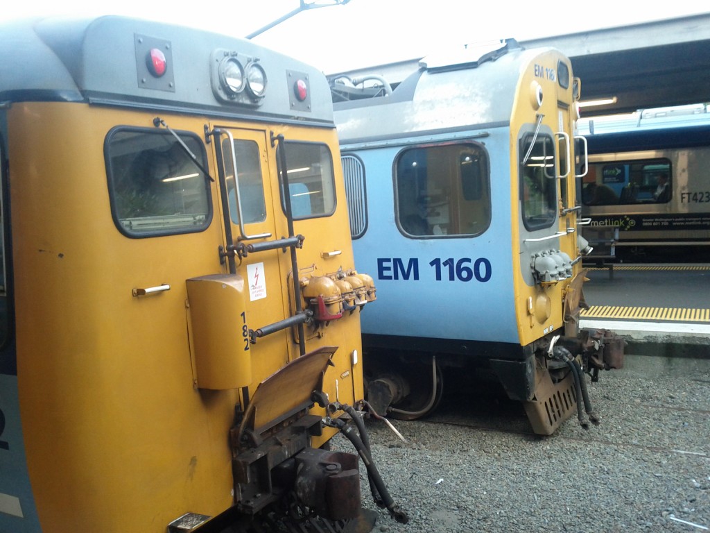
DM/D train running the Johnsonville Line in the foreground. An EM/ET class in the background.

The current Johnsonville Line was laid and the current Johnsonville station opened in 1938, which replaced the original rail line dating back to 1885. If you’ve caught a train on it recently, you might be forgiven for thinking that nothing has changed since.

This will be changing, new Matangi trains have been successfully tested on the Johnsonville Line and will be finally replacing the DM/D class – which whilst it will make for a smoother trip, will make it slightly less exciting for train fans. ;-)

There’s a great youtube video of the whole trip at about 23 minutes which gives you an idea of the noise, but if you’re just wanting a quick idea of the route and the number of tunnels, there’s a timelapse version. :-)

Die Flash, Die!

I hated flash whilst it was still cool!” — Jethro Carr, Internet Hipster

Adobe Flash has to be one of the more polarizing internet technologies out there, people either love it or hate it, but either way, it’s difficult to avoid. It’s used as the default for playing youtube videos, many online browser games, banner adds, “smart” uploaders and a large number of adult websites.

It’s also used for some important systems as well – Air New Zealand make heavy use of it for their Airports membership page (infact it’s not possible to login unless you have flash), which is extremely poor from a large company that should know better, along with a few too many enterprise web applications I’ve come across.

Whilst Flash has had a reputation for poor performance, CPU eating and battery-life killing, these are all implementation faults – the primary issue with Flash has always been that it’s a proprietary application and a proprietary standard.

If Adobe had simply allows Flash to become an open standard and open sourced the flash player, many of the technical issues with it would be resolved by the developer community, and it would become more ubiquitous with ports to other platforms that Adobe might consider “too small” to worth spending developer time with.

Adobe didn’t even release specifications and allow free licensing until 2009 when they kicked off the Open Screen Project and released the specification – but it’s a big catchup game to play for other applications to fully implement the specification needed to support flash applications. And the flash player itself is still fully proprietary, if Adobe doesn’t want to support a platform or a browser, you’re effectively screwed.

Open source projects like Gnash are slowly catching up, when I tried it recently it was good enough to allow me to play Youtube videos and some other flash features, but would fail on more complex applications such as Air New Zealand’s abomination of a website, so depending on your needs, you may still be chained to it.


Flash on Linux has always had a particularly rocky history – historically Adobe made a plugin available but only supported the i386 platform, requiring many years of the use of 32 to 64bit wrapper libraries in order to run Flash on modern 64bit Linux systems, leading to all sorts of wonderful performance, memory and audio issues.

A 64-bit alpha plugin emerged relatively recently and Adobe now supports 64-bit Linux as part of their official downloads, but other platforms such as PPC, MIPS and ARM are still unsupported – an issue which becomes more and more apparent as vendors release ARM based smart-phones and tablets and are unable to install flash player on them.

Adobe has now announced that they will be dropping support for Flash on Linux for anything but Google’s Chrome browser, which has it’s own special build in flash binaries – I suspect this will mean that it won’t extend to supporting the open source build of Chrome (called Chromium) which currently excludes the Flash support.
Of course, for other browser users like myself (eg Firefox), this decision is short sighted and very frustrating – a text book example of the problems with relying on proprietary software and standards.

Thankfully Adobe did at least realise that this decision is going to result in a lot of users sticking with the final 11.2 version on Linux and is promising to support 11.2 with security updates for another 5 years, so at least we won’t have thousands of users running around with vulnerable flash players – Flash Player does have a reputation for security holes after all.


On the positive side, Flash is dying.

Adobe has already announced plans to stop supporting mobile platforms like Android in favor of Adobe Air, although Adobe Air sounds like they’re making the mistakes of Flash all over again, unless they allow fully HTML5 based Air applications to run without need for a browser plugin in future.

Apple has always refused to support Flash on the iOS platform (iphone/ipad) and recently stopped shipping Flash with MacOS on Macbook Air by default. (in a hilariously ironic statement, Apple criticized Flash for being a proprietary locked down platform, whilst happily ruling the iOS platform and App store with an iron fist).
HTML5 along with Javascript is quickly securing it’s place as the web platform of choice for rich UI web application developers and I expect we’ll see more and more tools and frameworks to make working with these technologies easier.

You can even watch Youtube videos in HTML5 if you have a capable browser (recent versions of Chrome or Firefox will work) under their HTML5 trial.

Hopefully projects like Gnash are able to complete their implementation of Flash to a sufficient level to support legacy websites and applications, although by the time this happens, it may be that we won’t need it any more.


If Adobe had just open sourced Flash Player and the standards years ago, maybe this wouldn’t have been the case and we’d all be running stable open Flash implementations already, Adobe only has itself to blame for Flash’s demise.

But they won’t see any tears from me.

Why I hate DSL

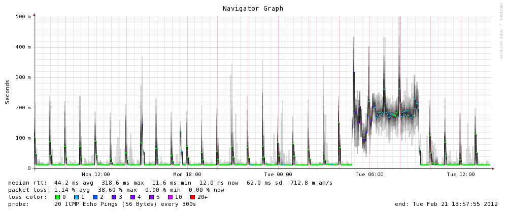
mmm latency, delicious delicious latency

I’m living around 8km from the center of Auckland, New Zealand’s largest city, with only 8 mbits down and 0.84 mbits upstream in a very modern building with (presumably) good wiring installed. :'(

The above is what happens to your domestic latency when your server’s cronjobs decide to push 1.8GB of new RPMs up to a public repo, causing the performance to any other hosts to slow to a grinding halt. :-/

On the plus side it did make me aware of a fault in my server setup – one of my VMs was incorrectly set to use my secondary LDAP server as it’s primary authentication source, meaning it called back across the VPN over this DSL connection, so when this performance hit occurred, the server started having weird “hangs” due to processes blocking whilst waiting for authentication attempts to complete.

The sooner we can shift off DSL the better – there’s the possibility that my area might be covered with VDSL, but since I don’t think we’ll be here for too long, I’m not going to go to the effort to look at other access methods.

But I will make sure I carefully consider where UFB is getting laid when I come to buy property….

Makara Walk

Whilst in Wellington for a weekend a few weeks ago, I went on a walk around Makara with my good friend Tom, only I got a little too distracted to blog it until now.

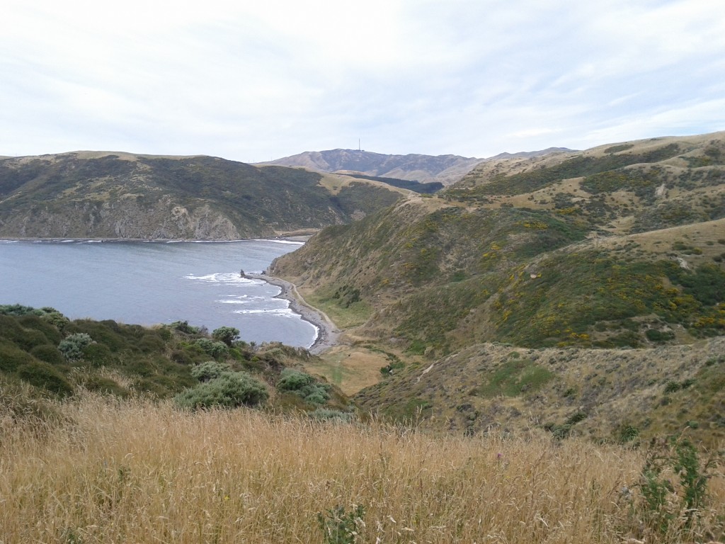
Makara is a very small rural community near the coastline behind Wellington, only about 30mins drive from the Wellington CBD. Whilst you wouldn’t go there to visit the thriving shopping district or cafe scene (ha!), it is an interesting place for some walks up large hills with amazing views and a slight risk of deadly cliff drops or heart attacks from climbing the steep slopes.

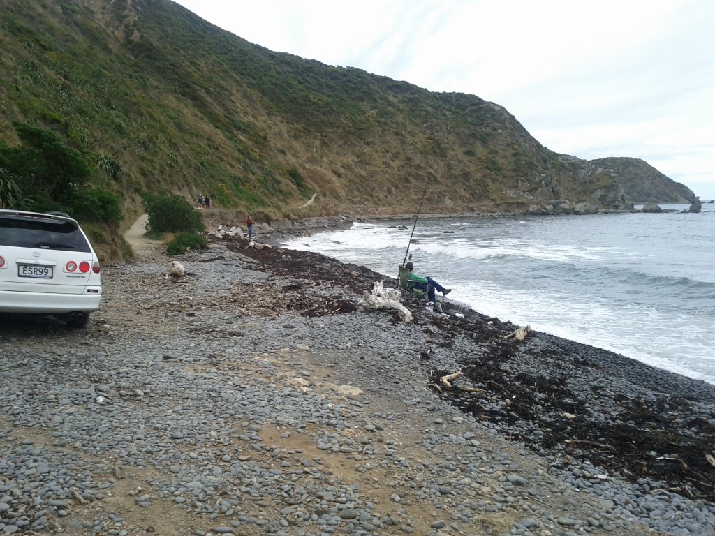
Like most of Wellington, it’s a stony beach so you wouldn’t go there for the soft sand, warm swims and attractive sunbathers, but it does offer a bleakness that is strangely attractive.

No hot sunbathers? Feeling very ripped off.

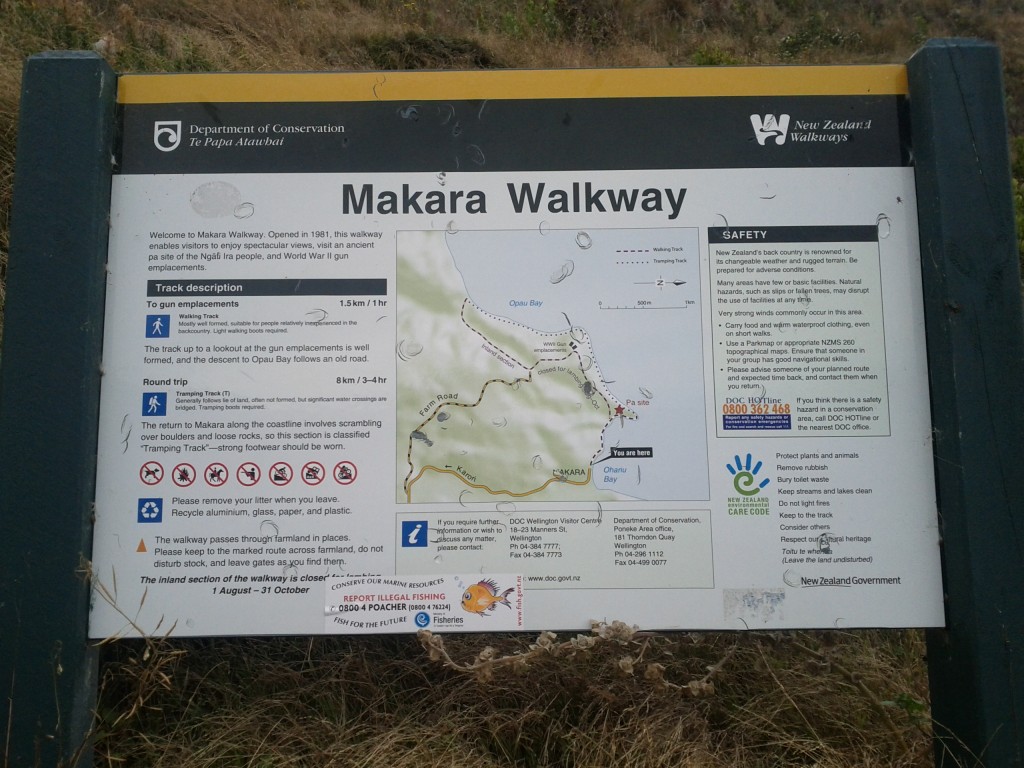
We took the Maraka Walkway which starts off going steeply uphill through some quite undefined tracks (hint: follow the flattened grass paths), before going up to old WW2 gun emplacements, wandering through the windmills and then back along the coastline.

If one desired, there are longer paths that can be be taken right through the wind farms and into other bays. In theory, if you went far enough along the coast, you would end up going around the southern most point of Wellington and reconnecting to civilization at Red Rocks, or even going up to the Brooklyn wind turbine.

The map doesn't quite give a warning to the steepness, also they weren't kidding with the recommendation for some light walking boots, some of the areas are a bit too muddy and rough for sneakers.

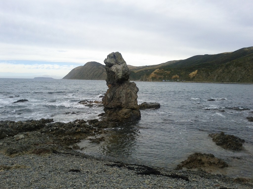
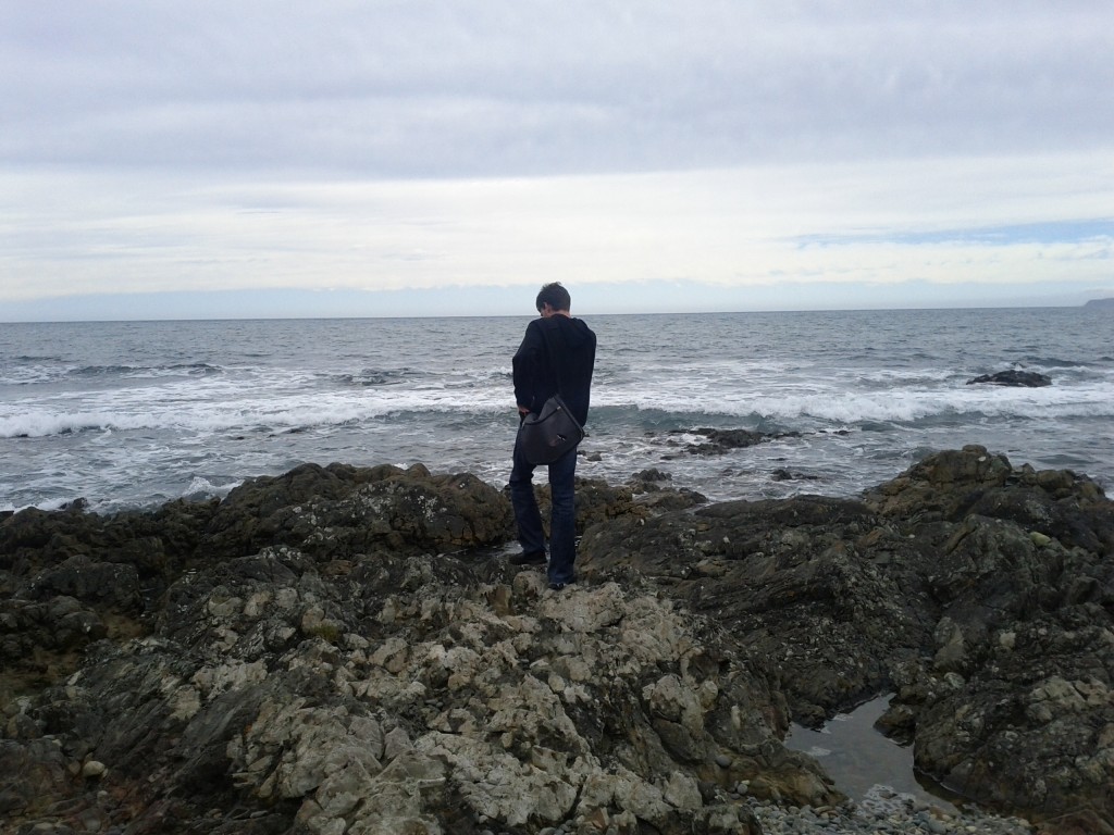
Erect Rocks.

Oh mercieless sea, so strong yet so frail as you fall upon these rocks of land. Ponder thee Tom shall.

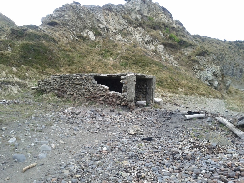
Unsure what this building is - it's in the right area on the map for the Pa site that we couldn't see any other trace of, but it's less than 100 yrs old as it's clearly built of cement and steel and not a Pa...

Climbing rapidly...

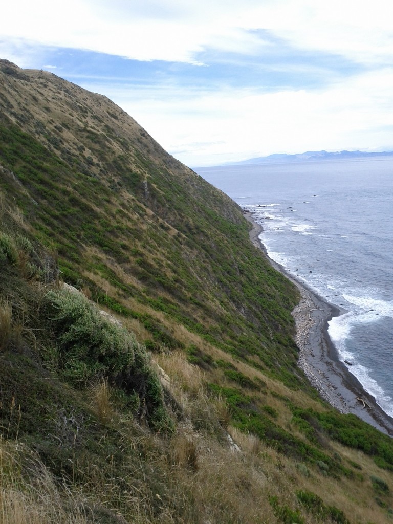
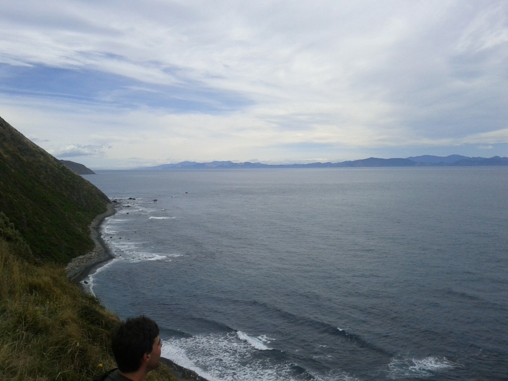
Looking out from a cliff towards the south island

The path winds along these pretty steep hills, wouldn't want to go for a tumble down one.

Based on the number of these spider nests around, I would *not* want to be doing this walk whenever it is that these things hatch :-/

Unfit Jethro is unfit and generally just a bit hot.

Whilst New Zealand never had enemy troops landing, we did have the odd axis vessel in our waters and a few shipping casualties and flyovers by German and Japanese craft.

During the war a number of gun emplacements were built to fend off invasion and there were American troops stationed in the country, although I don’t know why the Japanese and German forces wasted time/effort with New Zealand, it’s too far away from any action and Australia would be a much better target.

After the war these were mostly dismantled and the guns taken away, although the concrete emplacements were left as-is.

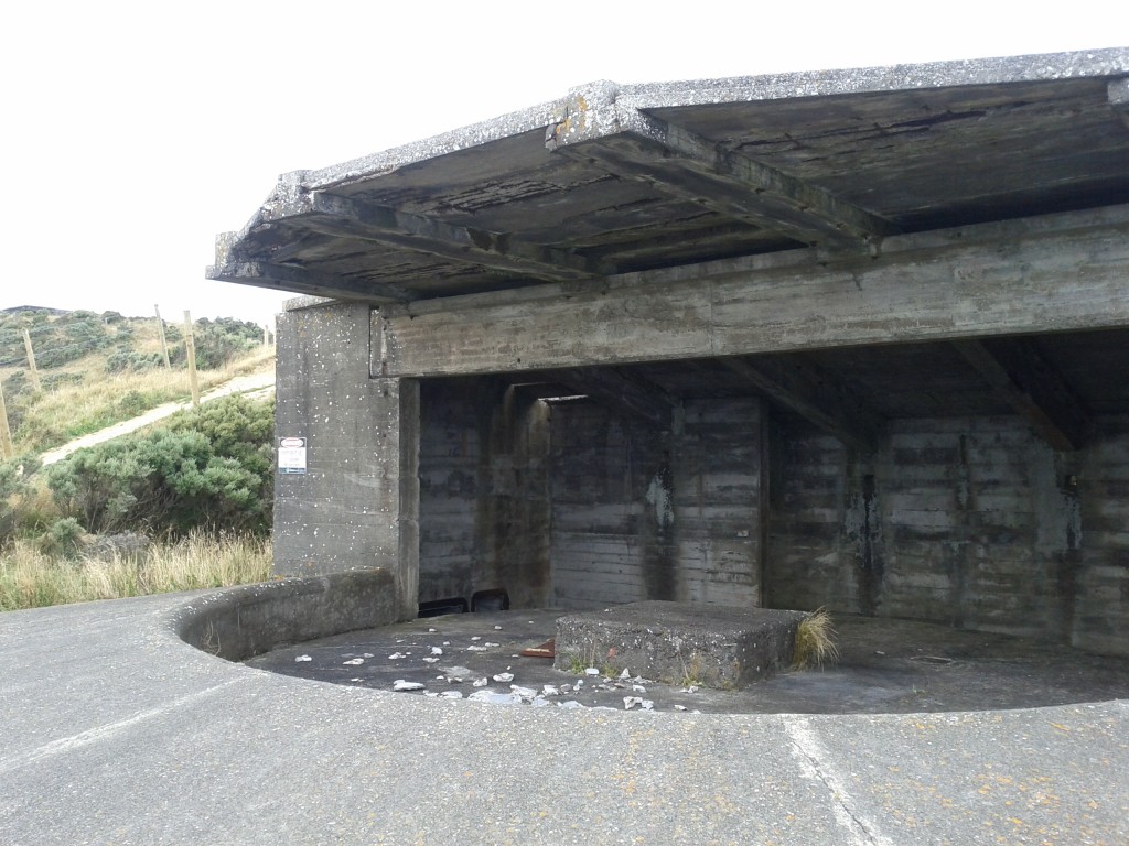
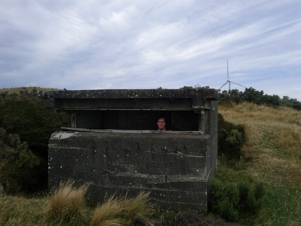
WW2 gun emplacements, sadly the guns are long gone, all that's left are decaying concrete structures, now fenced off due to their unstable nature.

I'm defending the windmills!

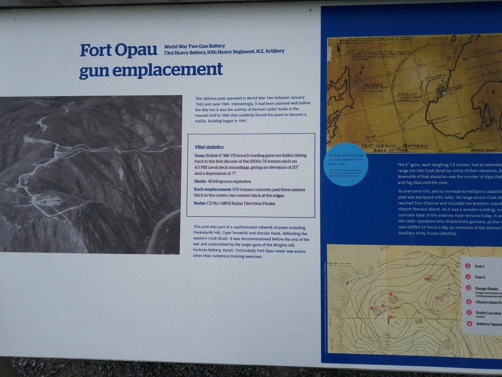
Fort Opau Gun Emplacements

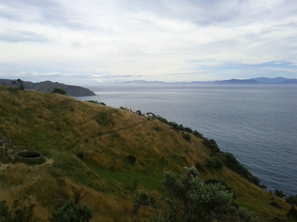
Friendly sheep! (Makara Farm is spread over these hills)

The other man-made attraction in this area is the modern Makara windfarm build in 2007-2009 and has 62 turbines producing up to 2.3MW each as Project West Wind (the budget did not extend to original project naming it seems).

I love wind turbines, they look pretty over a countryside, are a clean and effective form of generating power and combined with hydro, could allow New Zealand’s energy production to become completely sustainable.

This particular wind farm had history dating back to 1995 and a number of fights with a group known as the Makara Guardians, made up of a lot of the residents of the area to fight the turbine installation.

This particular selfishness of groups like Makara Guardians really gets to me, New Zealand needs energy and clean renewable sources such as wind and hydro are the best way for us to get them, yet they’re opposed thanks to the “not in our backyard” mentality and quoting invalid pseudoscience to try and justify their arrogance. Would they prefer a coal plant in Makara? Or no power?

Thankfully the environment court ruled in favor of allowing the project to go forwards so the farm was built and from what I see, with minimal impact to the landscape and environment – the sites of each turbine are tidy and minimal and without unpleasant overhead wires between each turbine.

They are also amazingly quiet, it was a light breezy day day, but we couldn’t hear anything until right up close to them and even then they were still far quieter than on-street car noise or other city sounds.

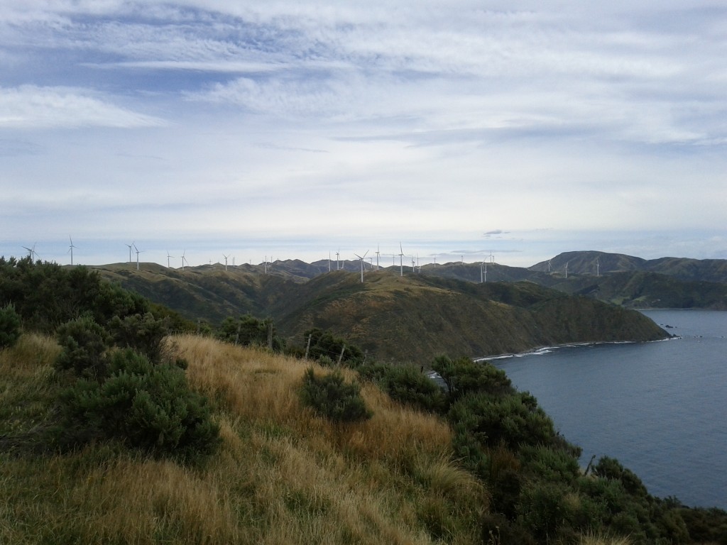
Pretty wind turbines!

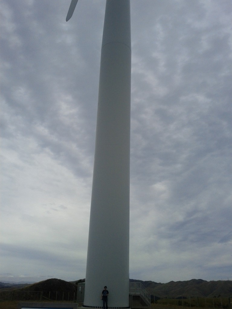
These things are big!

REALLY BIG!

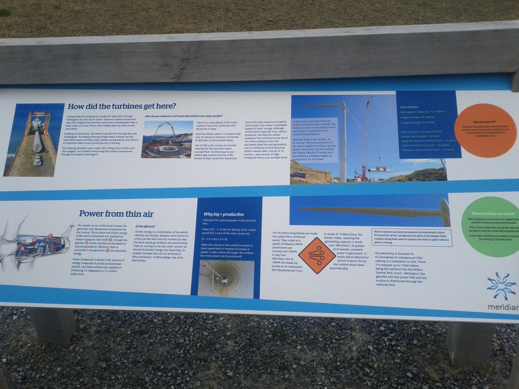
No geek could resist a functional diagram and pictures of construction! :-D

After geeking out at Turbines, we headed down to Ohau Bay and then along the coastline all the way back to Makara.

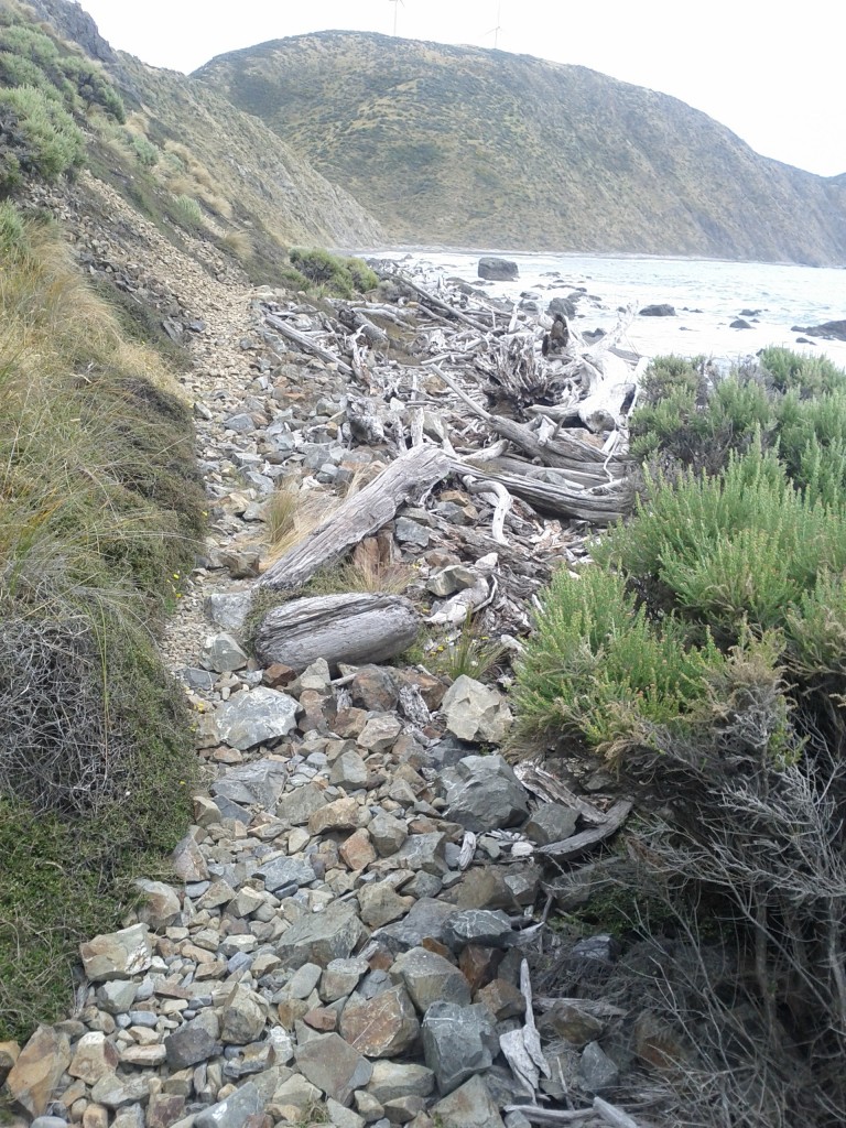
I will note that whilst the map earlier showed this as a path, it’s really not…. once on the beach, there’s a very minimal pathway that’s mostly covered by rubble from the hills or driftwood from the beach, and in a few places actually runs out entirely and the “path” ends up being climbing over rocks whilst the waves crash around you. I have no idea what happens at high tide, it might not be possible to cross some areas at all.

Whilst I got away with sneakers, it was really a case of barely… I’d highly recommend getting some decent walking/tramping boots if attempting this walk, particularly if there’s a chance that the weather might not be the greatest.

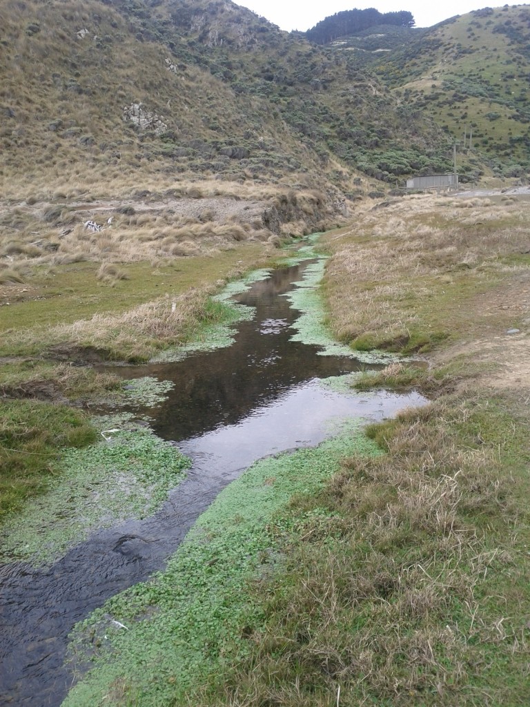
Swampy area

Of course, I walked right though it. :-/

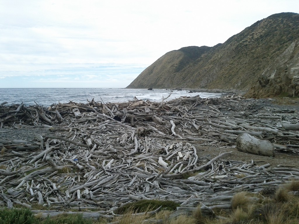
Yo dawg, we heard you liked driftwood, so we put some driftwood on your driftwood!

The coastline "path" :-/

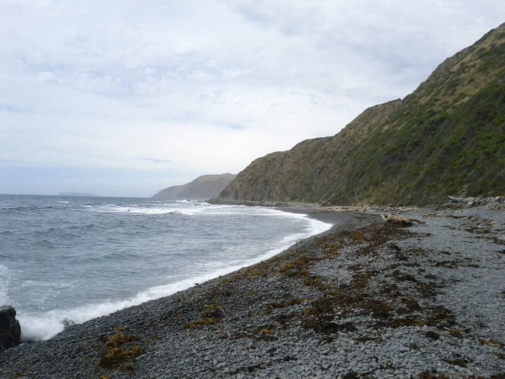
Pretty in a bleak way.

Apparently this counts as a "path" :-/

Wouldn't want to be out here during a storm....

Home stretch!

Over all it was a great trip and certainly a bit more challenging walk than the usual well paved ones found around Wellington. It’s pretty exposed so you want some good weather, but if it’s a bit overcast it helps since there’s little shelter from the sun.

Sea Shepherd in Wellington

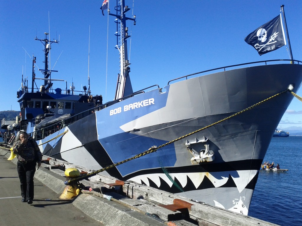
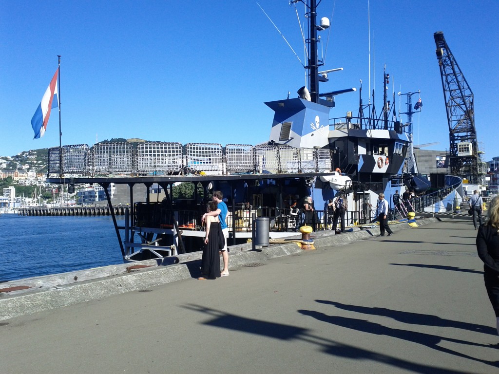
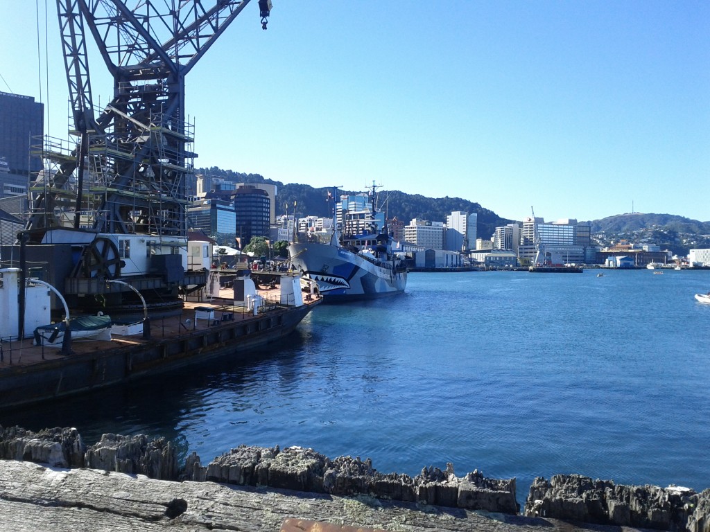
Whilst wandering along Wellington harbor this week I came across the MY Bob Barker berthed, one of the things I love about Wellington is finding random bits of awesomeness like that.

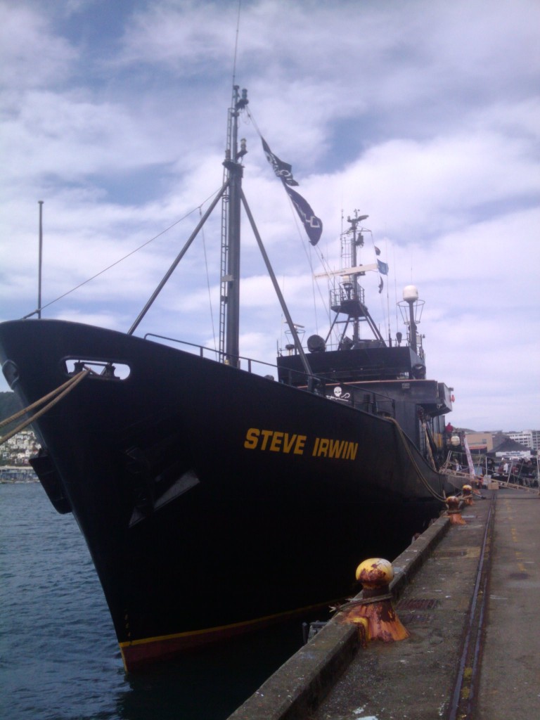
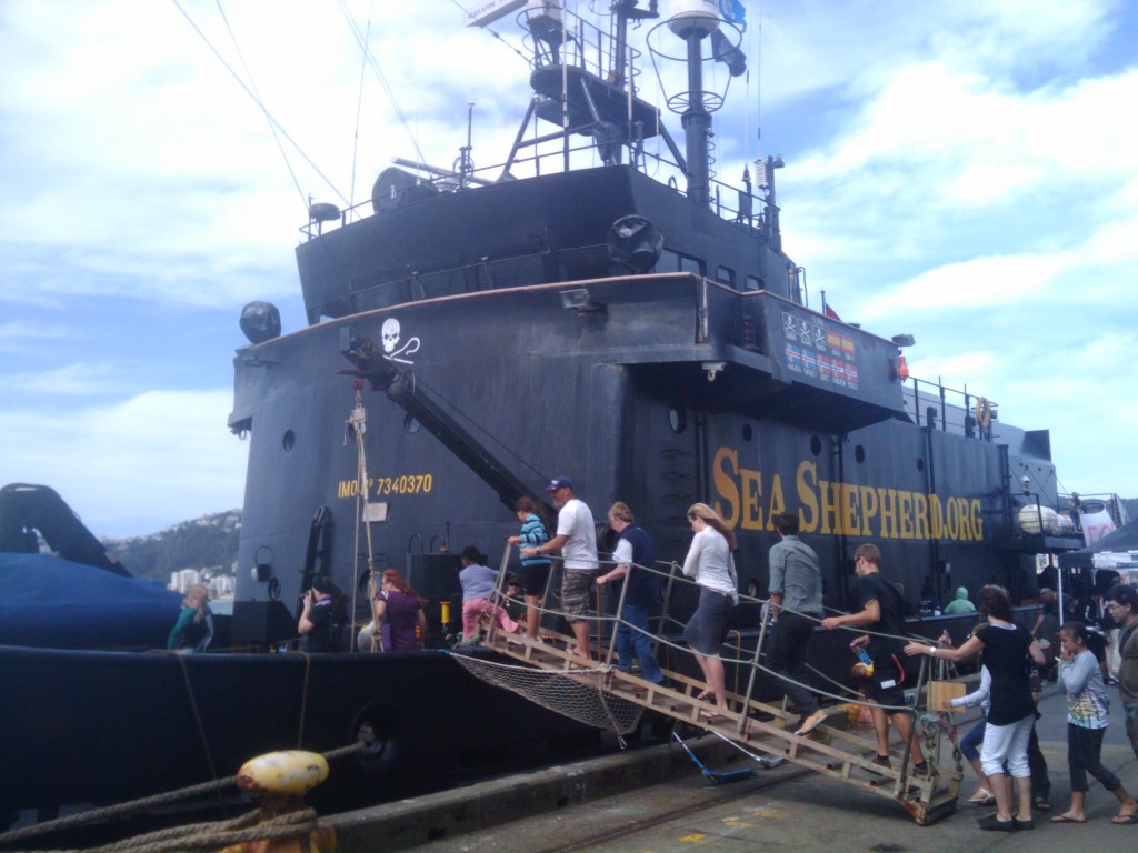
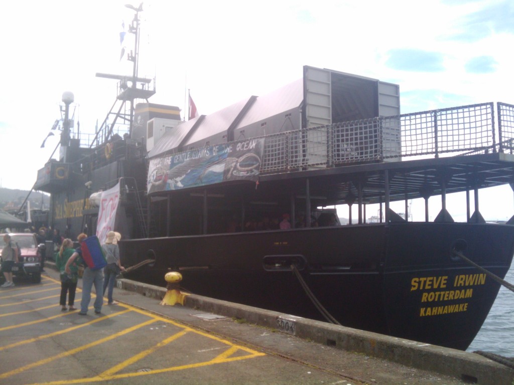
This is actually the second Sea Shepherd ship I’ve seen IRL, in early 2010 they had the MY Steve Irwin in Wellington and I managed to get some pictures of that then too.

Sea Shepherd is an interesting organization with a background showing that they aren’t afraid to take more extreme actions than just protesting, with past history including ramming whaling ships and contributing towards the sinking of several – reading the fleet history gives a good idea of some of their past exploits.

I can’t stand whalers, they’re ignorantly and blatently killing  extremely intelligent creatures and in the case of Japan, they don’t even have the courage to call the hunt and slaughter what it is, instead calling it “research” and miss-using loopholes in multinational treaties.

The politicians, companies and people involved in whale hunting do nothing but bring shame and condemnation on their countries and deserve to end up on the bottom of the ocean, the sooner the better.

Wellington 13th to 17th

I’ll be in Wellington from Monday the 13th till Friday the 17th of Feb on various customer work projects that can’t be done via a remote shell.

Due to the nature of the work I’m not sure what evenings I’ll be free, but probably be free for dinner on Monday evening and may have other dates available later in the week.

If you’re around and would like to catch up, chuck me an email or comment and we’ll make a time. :-)